Public Campground
Cholla Bay
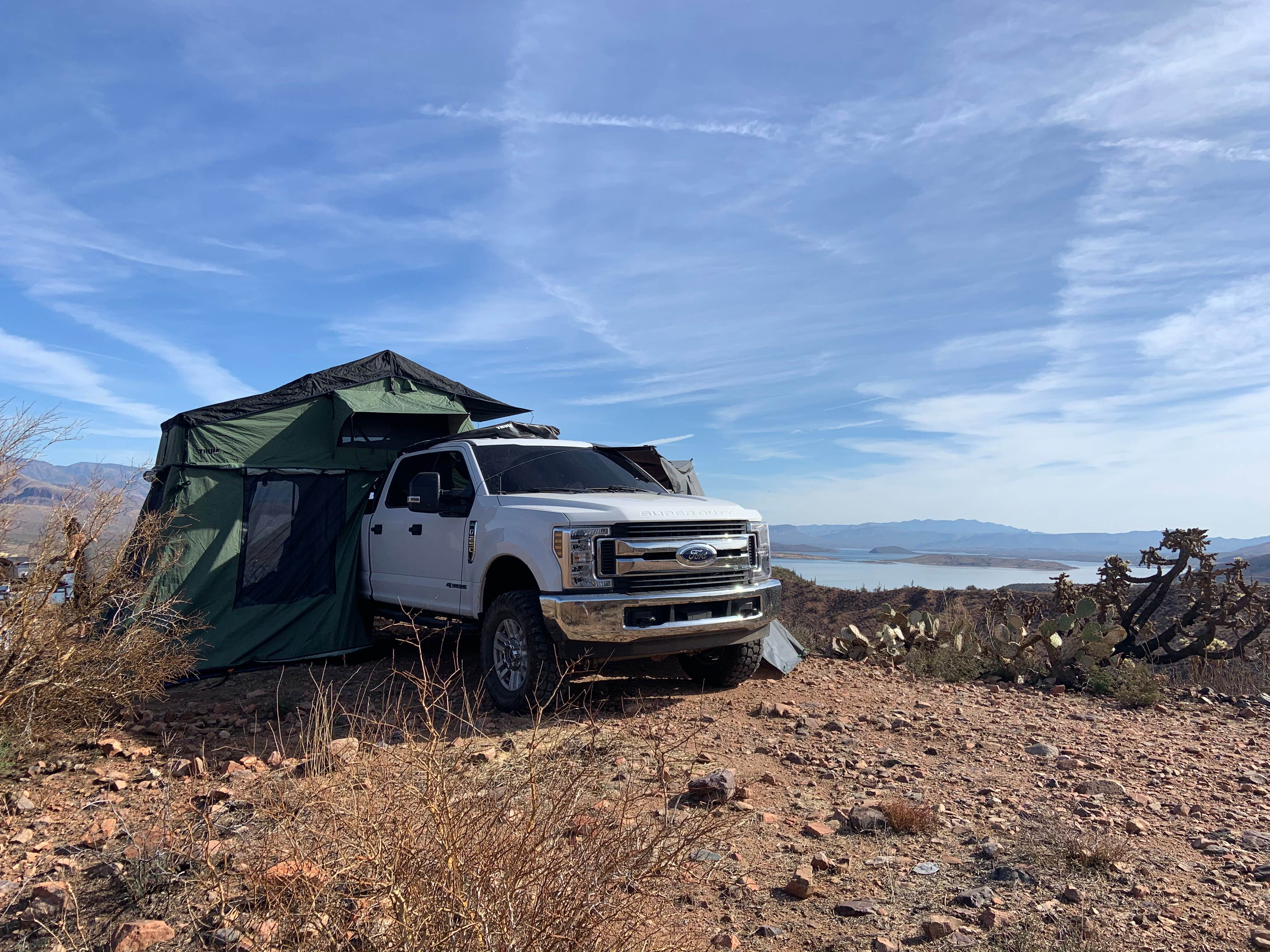
Cholla Bay offers camping near varied desert terrain with cacti and rocky landscapes. Temperatures can range from 40°F in winter to over 100°F in summer. Nearby, visitors can explore Tonto National Forest and Bartlett Lake for outdoor activities.
Description
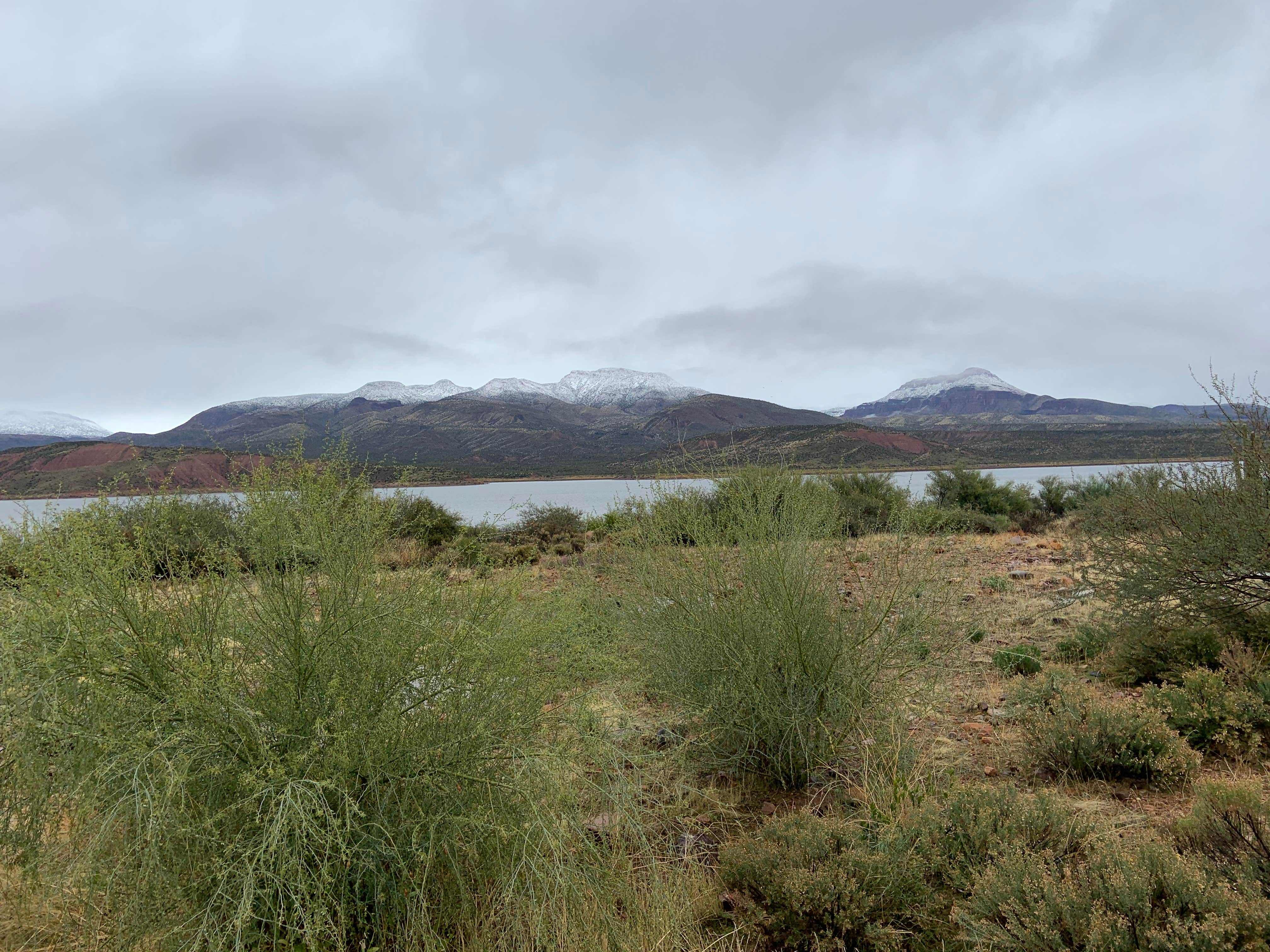
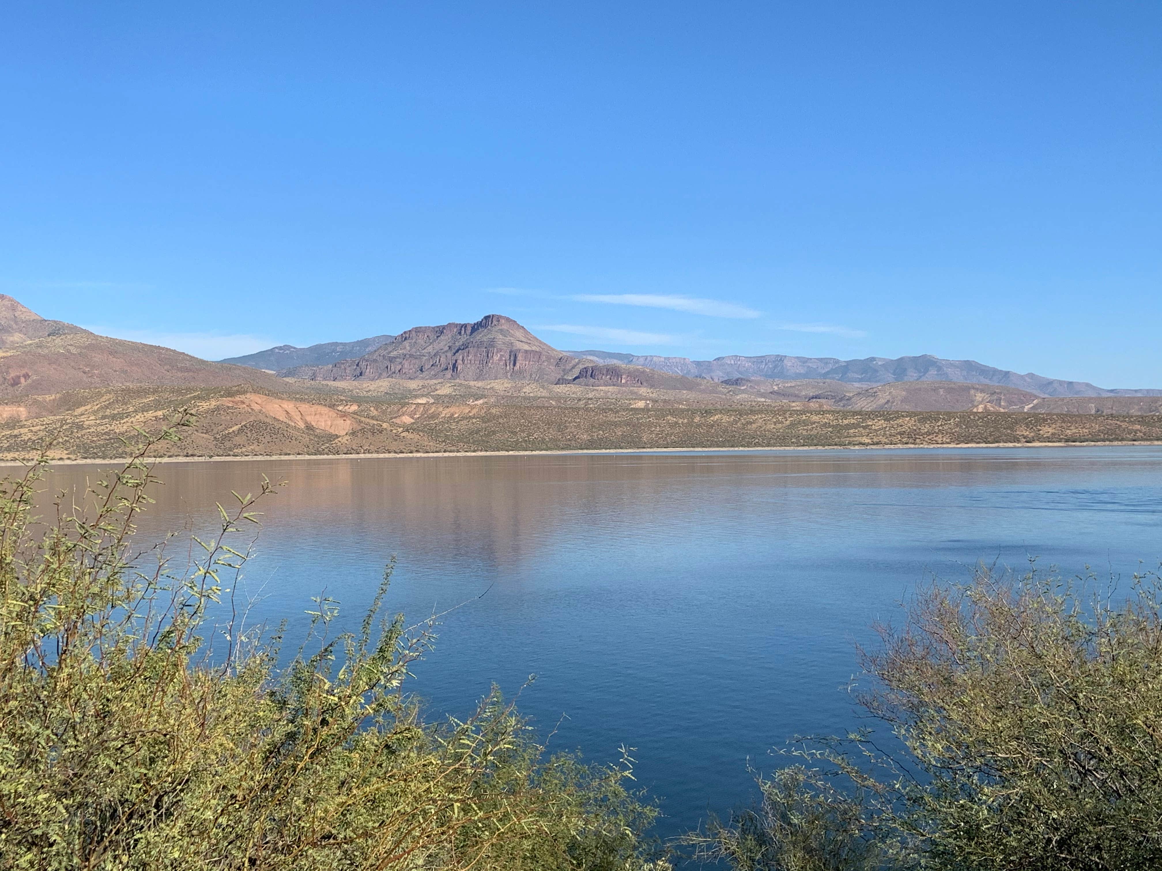
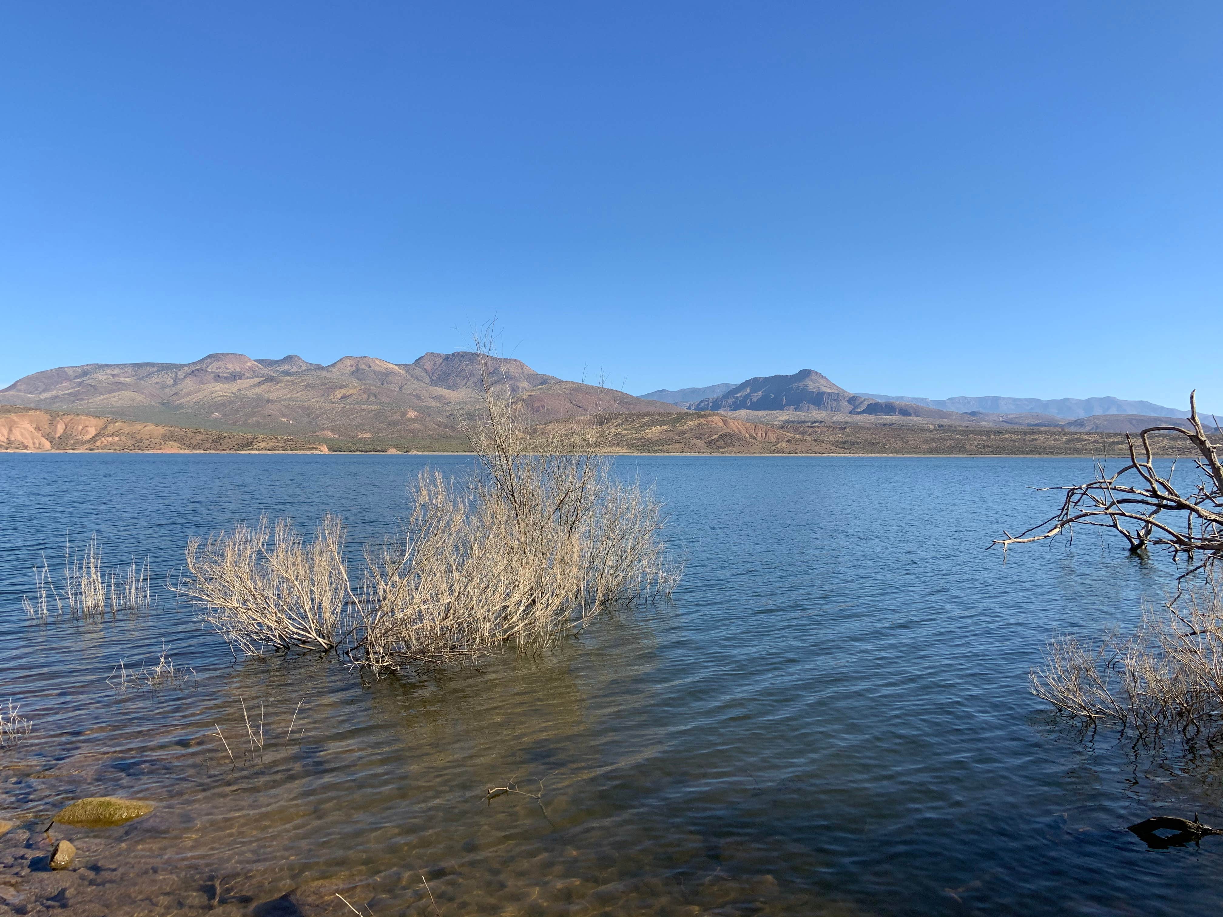
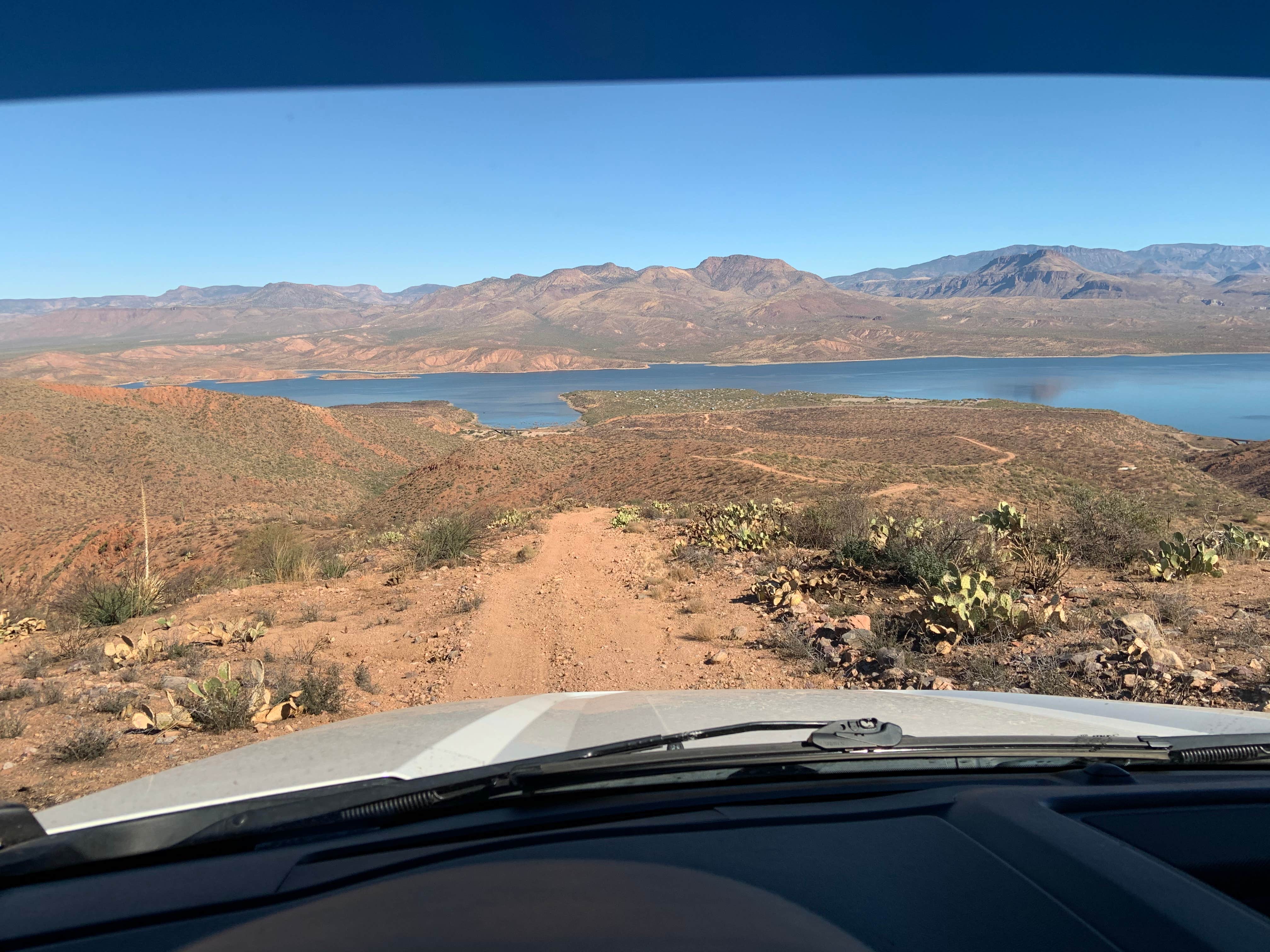
Cholla Bay Located along the shoreline of central Arizona’s largest lake. The setting is in the Upper Sonoran Desert. Vegetation includes mesquite, cat-claw, desert broom, and cholla and saguaro cacti. This site provides a spectacular view of the Sierra Ancha Mountains.
Location
Cholla Bay is located in Arizona
Directions
This site is 5 miles north of Theodore Roosevelt Dam. From Mesa: Take State Hwy. 87/Beeline Highway north for approximately 60 miles to its junction with State Hwy. 188. Turn right onto State Hwy. 188 and continue south for 27 miles to the site. From Globe: Take State Hwy. 188 north for 30 miles to the junction of State Hwy. 88 and State Hwy. 188. Continue on State Hwy. 188 across the bridge for 5 miles to the site. Click Here For Map.
Coordinates
33.71900074 N
111.20500067 W
Connectivity
- T-MobileNo CoverageVerified by 8 usersLast on 1/27/26
- VerizonPossible CoverageVerified by 12 usersLast on 1/27/26
- AT&TLTESome CoverageVerified by 5 usersLast on 1/27/26
Connectivity
- T-MobileNo CoverageVerified by 8 usersLast on 1/27/26
- VerizonPossible CoverageVerified by 12 usersLast on 1/27/26
- AT&TLTESome CoverageVerified by 5 usersLast on 1/27/26
Access
- Walk-InPark in a lot, walk to your site.
- Hike-InBackcountry sites.
- Boat-InSites accessible by watercraft.
Site Types
- Tent Sites
- RV Sites
- Standard (Tent/RV)
Features
For Campers
- Trash
- Picnic Table
- Phone Service
- Drinking Water
- Toilets
- Alcohol
- Pets
- Fires
Drive Time
- 1 hr 40 min from Phoenix, AZ
- 2 hrs 13 min from Prescott Valley, AZ
- 2 hrs 23 min from Flagstaff, AZ
- 2 hrs 37 min from Tucson, AZ

