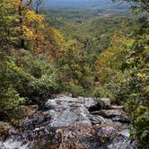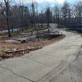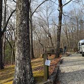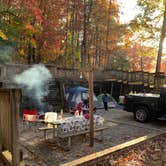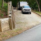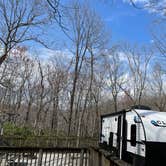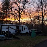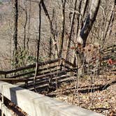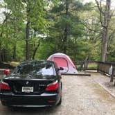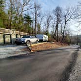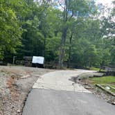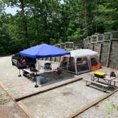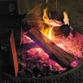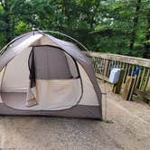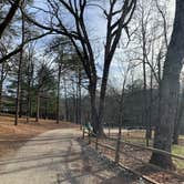
Amicalola Falls State Park sits at the southern gateway to the Appalachian Trail, and its campground reflects that role: compact, functional, and consistently busy. The 24-site loop is carved directly into the mountain terrain, with sites hewn into the hillside and leveled using timber retention walls. Each site includes a parking pad, fire ring with grate, picnic table, water spigot, and electrical hookup, and the gravel tent pads are small enough that large tents may need to tie off to the railings rather than stake into the ground. RVs up to 70 feet can be accommodated, with full hookups available, and sites 22 and 23 are noted as particularly easy for backing in larger rigs.
Getting to the campground requires navigating a 25% grade from the lodge, where all campers must check in regardless of whether they reserved online. That climb is no small thing for vehicles towing heavy loads. As Dave V. puts it, "all foot trails go up or down," and the same holds for the roads. The campground sits at the top, which means it stays dark and relatively quiet at night, though headlights from passing vehicles can sweep directly into sites like 5 and 6.
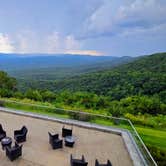
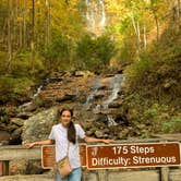
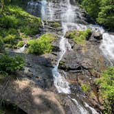
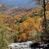
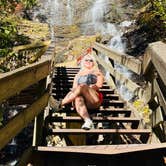
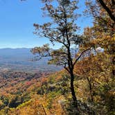
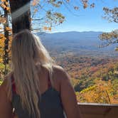
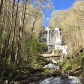
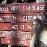
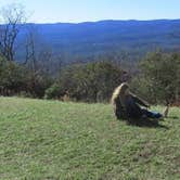
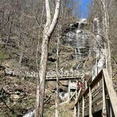
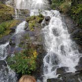
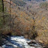
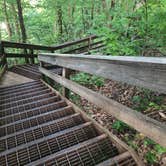
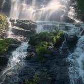
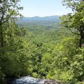
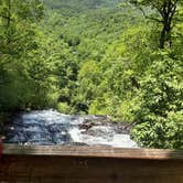
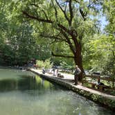
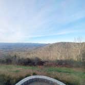
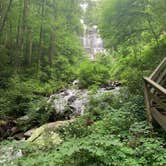
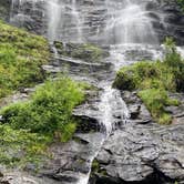
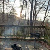
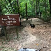
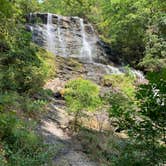
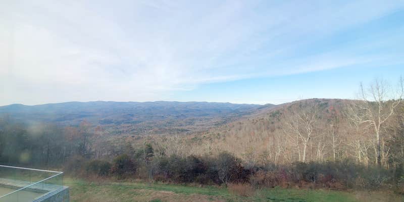
The park's main draw is its proximity to Amicalola Falls and the 8.5-mile Approach Trail to Springer Mountain, the southern terminus of the AT. A reflection pond near the park entrance is stocked for fishing, and the lodge above the campground has a restaurant and a west-facing deck with long views toward the mountains. Nearby, Len Foote Hike Inn offers an alternative overnight option for those looking to extend a hiking trip into the backcountry. Campers interested in places to camp near Amicalola Falls State Park will find a handful of additional options in the surrounding area, including Under The Hemlock and Timberline Glamping At Amicalola Falls.
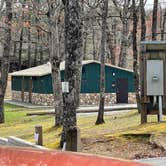
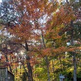
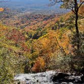
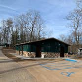
Maintenance quality has varied across reviews. Some campers report clean, well-kept restrooms and attentive staff, while a more recent visit flagged rotting picnic tables, stainless steel toilets without seats in the welcome center restroom, and a general sense of neglect. Bear activity has also been noted in September, with animals moving through the campground at night. The park is open year-round, but reservations are strongly advised, especially on weekends and during fall foliage season, when the campground fills quickly.
RV Road Trip Guides


Map & DirectionsAmicalola Falls State Park Camping is located in Georgia near Chattahoochee-Oconee National Forest
 Public Campground
Directions
Located 15 miles northwest of Dawsonville on Highway 52. Take Highway 53 west to Highway 183 north to Highway 52 east.
Address
240 Amicalola Falls State Park Rd
Dawsonville, GA 30534
Coordinates
34.55400077 N
84.25100055 W
Connectivity
 T-MobileNo CoverageVerified by 1 userLast on 10/6/26
 VerizonLTESome CoverageVerified by 1 user
- AT&TLTESome CoverageVerified by 1 userLast on 11/14/25
Connectivity
- T-MobileNo CoverageVerified by 1 userLast on 10/6/26
- VerizonLTESome CoverageVerified by 1 user
- AT&TLTESome CoverageVerified by 1 userLast on 11/14/25
Access
- Drive-InPark next to your site
- Walk-InPark in a lot, walk to your site.
- Hike-InBackcountry sites.
Site Types
- Tent Sites
- RV Sites
- Standard (Tent/RV)
- Group
- Cabins
- Tent Cabin
- Yurts
Features
For Campers
- Market
- ADA Access
- Trash
- Picnic Table
- Firewood Available
- Phone Service
- Reservable
- WiFi
- Showers
- Drinking Water
- Electric Hookups
- Toilets
- Alcohol
- Pets
- Fires
For Vehicles
- Sanitary Dump
- Sewer Hookups
- Water Hookups
- Pull-Through Sites
- 50 Amp Hookups
Drive Time
- 43 min from Gainesville, GA
- 1 hr 14 min from Atlanta, GA
- 1 hr 30 min from Rome, GA
- 1 hr 35 min from Cleveland, TN