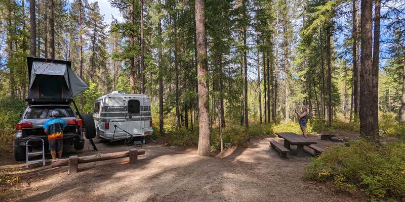
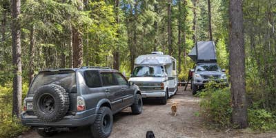
Well-maintained vault toilets and weekday quiet define this Forest Service campground along Canyon Creek. The drive-in sites accommodate RVs up to 30 feet and feature standard amenities including picnic tables and fire rings. Open terrain provides easy setup, while the nearby creek adds natural sound to the camping experience.
Canyon Creek operates from Memorial Day through Labor Day under Forest Service management. Pet owners appreciate the dog-friendly policy, and the campground maintains ADA accessibility. For those planning extended stays in the region, pet-friendly camping near Colville National Forest offers additional options throughout the national forest system.
Description
This pack it in/pack it out campground is a single large circular loop .25 miles from the highway on a dirt road with minimal traffic noise. Lodgepole pine provide ample shade and an understory of wild roses and other shrubs allow for good privacy between sites. A few campsites are adjacent to canyon creek which is hidden from view. A small meadow near the campground's entrance allows ample wildlife viewing opportunities such as deer and birds. Convenient for overnight campers it is also a nice location for a few days of relaxed camping. A one mile paved walking trail traverses along Sherman Creek between the campground and the Sherman Pass Log Flume Heritage Site. Facilities 12 campsites with picnic tables, fire pits, and tent pads No drinking water Two toilets No garbage disposal - Please pack it out
RV Road Trip Guides

Map & DirectionsCanyon Creek Campground is located in Washington near Kettle Valley
Directions
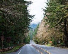
In Kettle Falls, WA, at intersection of US Rt 395/State Rt 20 and State Rt 25, take Rt 395 north/Rt 20 west 2.7 mile to a "Y" intersection. Bear left, staying on Rt 20 west, and go 7.7 miles to campground sign. Turn left after sign, onto Bangs Mtn Rd and go 0.1 miles down a dirt road to campground.
Coordinates
48.57772147 N
118.24068967 W
Connectivity
 T-MobileNo Coverage
- VerizonNo Coverage
- AT&TNo Coverage
Connectivity
- T-MobileNo Coverage
- VerizonNo Coverage
- AT&TNo Coverage
Access
- Drive-InPark next to your site
Site Types
- Tent Sites
- Standard (Tent/RV)
Features
For Campers
- ADA Access
- Picnic Table
- Toilets
- Alcohol
- Pets
- Fires
Drive Time
- 1 hr 45 min from Spokane, WA
- 2 hrs 6 min from Coeur d'Alene, ID
- 3 hrs 18 min from Wenatchee, WA
- 3 hrs 29 min from Lewiston, ID


