Public Campground
Patos Island State Park Campground
Patos Island State Park Campground is located near Eastsound, WA, offering a terrain of coastal landscapes and forested areas. Temperatures range from 40°F in winter to 70°F in summer. Nearby attractions include the Patos Island Lighthouse and opportunities for kayaking and wildlife viewing in the surrounding waters.
Description
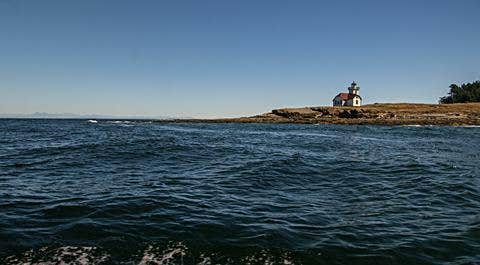
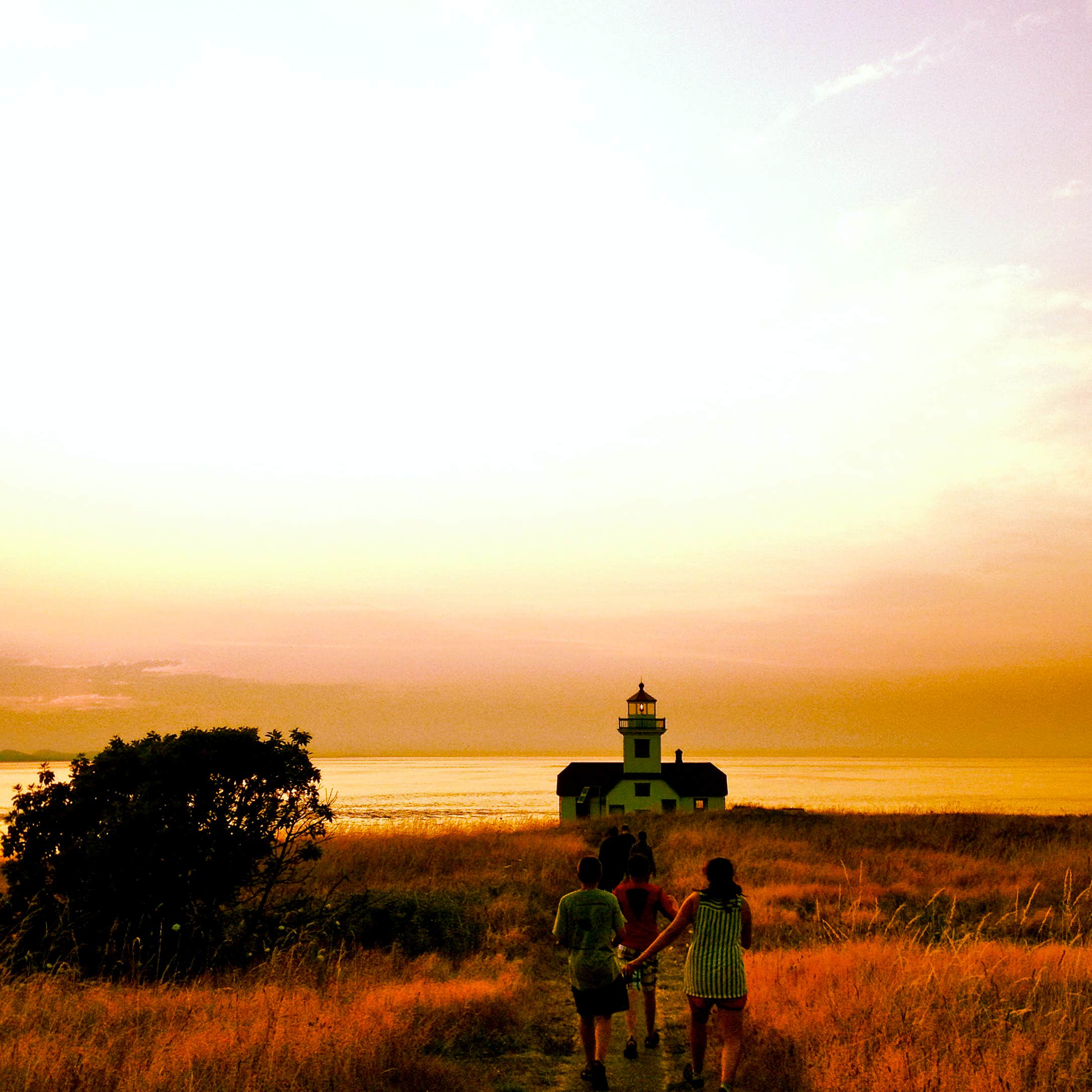
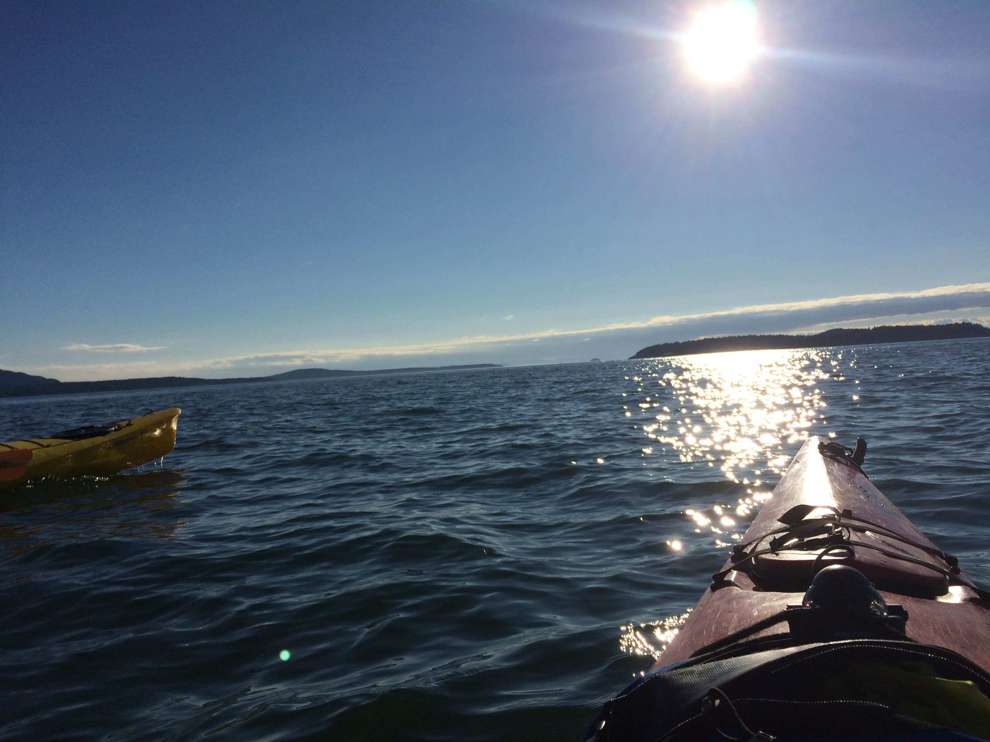
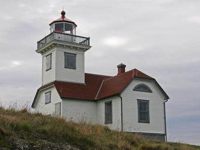
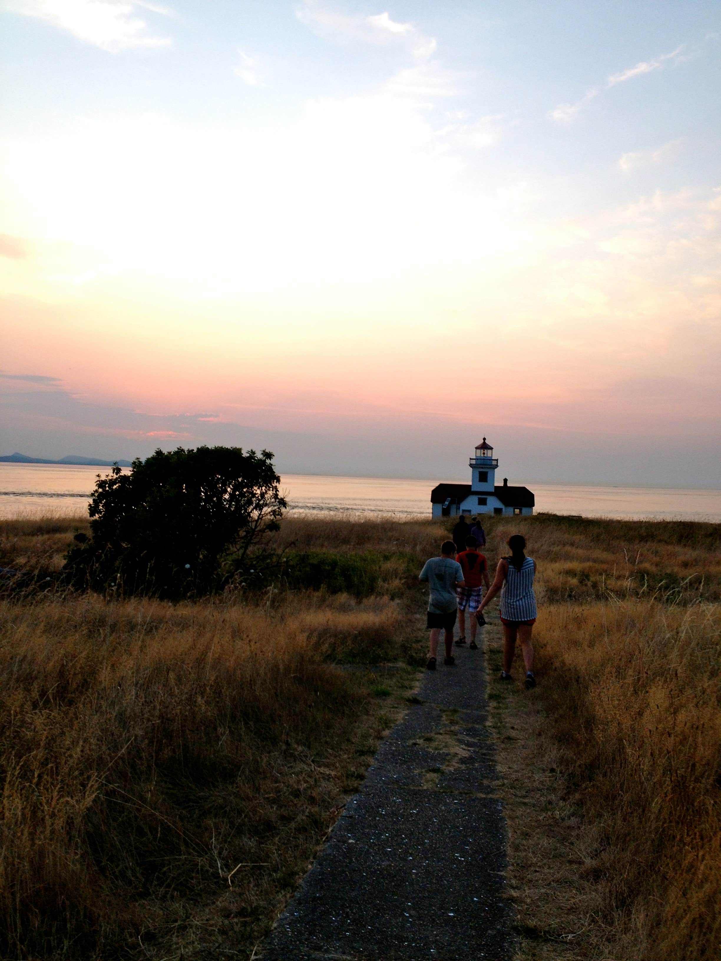
Welcome to the northwestern-most point in the lower 48 states! Patos Island is a wild and remote 200-acre island in the beautiful Salish Sea. The mountains of Canada and the spectacular Cascade and Olympic mountain ranges provide scenic backdrops to this special area. Recreational activities include hiking, camping, boating, sea kayaking, watching wildlife, and viewing wildflowers along the beaches, wooded areas, and at overlooks. The BLM cooperatively manages the area with Washington State Parks. Patos Island Lighthouse, built in 1893, stands on the western-most end of the island, providing light and reference to mariners. Know Before You Go: Patos Island is open YEAR ROUND. Limited mooring buoys and campsites in Active Cove are offered on a first-come, first-served basis. Patos Island is only accessible by watercraft. Patos Island is very primitive and there is no fresh water available on site. On October 7, 2014, San Juan County became the first County in the U.S. designated as a voluntary Leave No Trace Area. Point of Interest: Keepers of the Patos Light are a nonprofit partner group that operates a small interpretive museum during the summer weekends from June through September, based on weather and available volunteers. Patos Island Brochure
Fee Info
Washington State Park fees apply.
Location
Patos Island State Park Campground is located in Washington
Directions
Patos Island State Park is located five miles northwest of Orcas Island in San Juan County. It is accessible only by boat and there is no commercial ferry service to the park. The nearest launch sites are at Point Roberts Marina (13 miles north), Blaine Harbor (11 miles northeast), and Squallicum Harbor in Bellingham (24 miles east).
Coordinates
48.79785073 N
122.95218 W
Connectivity
- T-MobileNo Coverage
- VerizonLTESome Coverage
- AT&TNo Coverage
Connectivity
- T-MobileNo Coverage
- VerizonLTESome Coverage
- AT&TNo Coverage
Access
- Hike-InBackcountry sites.
- Boat-InSites accessible by watercraft.
Site Types
- Tent Sites
Features
For Campers
- Trash
- Picnic Table
- Toilets
- Alcohol
- Pets
- Fires
Drive Time
- 1 hr 35 min from Mount Vernon, WA
- 1 hr 53 min from Bellingham, WA
- 2 hrs 30 min from Seattle, WA
- 3 hrs 27 min from Bremerton, WA

