
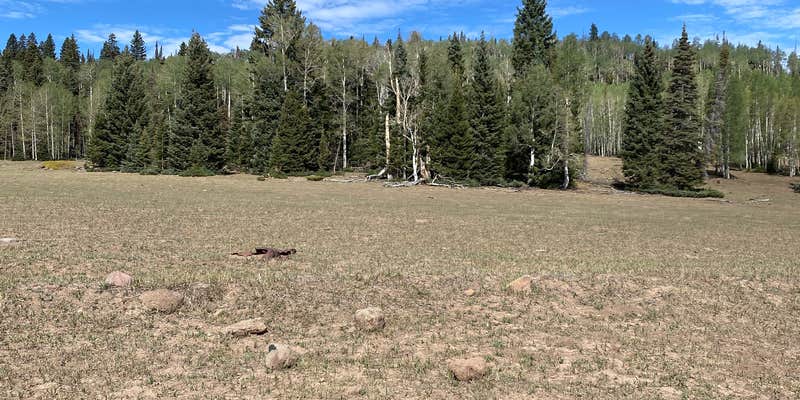
Fishlake National Forest's Betenson Flat Trailhead sits within forested terrain in Piute County, managed by the US Forest Service. It functions as an established campground, making it a usable overnight stop for campers accessing the surrounding trail network. Data here is limited. Nearby alternatives include LeBaron Reservoir Campground roughly a mile to the south, and Anderson Meadow Campground a few miles southwest, both within the same national forest for those weighing options in the area.
Description
Betenson Flat Trailhead. Forest Road 151.
RV Road Trip Guides


Map & DirectionsBetenson Flat Trailhead is located in Utah near Junction
 Public Campground
Directions
From Junction, UT travel west on State Road 153 eleven miles to the junction with Forest Road 137. Take the first left off of Forest Road 137 onto Forest Road 151, proceed .3 mile to the trailhead. Trailhead is on Piute 01 with access east to Circleville or north to Big Flat. Also connects to the Strawberry-Betenson Trail (PST #88).
Coordinates
38.23860805 N
112.38690097 W
Connectivity
 T-MobileNo Coverage
- VerizonNo Coverage
- AT&TNo Coverage
Connectivity
- T-MobileNo Coverage
- VerizonNo Coverage
- AT&TNo Coverage
Access
Site Types
- Tent Sites
Features
Drive Time
- 2 hrs 44 min from St. George, UT
- 3 hrs 15 min from Provo, UT
- 3 hrs 46 min from Salt Lake City, UT
- 4 hrs 14 min from Ogden, UT

