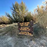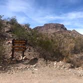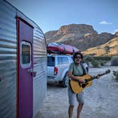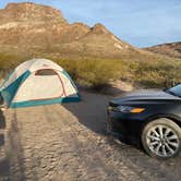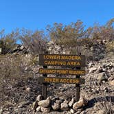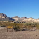
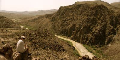
Reservations for Upper and Lower Madera run $12 per night through the Texas Parks and Wildlife system, but site selection works on a first-come, first-served basis once you arrive. Campers check in at one of the park's visitor centers, then drive out to claim a spot. The entrance road into Lower Madera is gravel, roughly one-and-a-half lanes wide, with a sharp turn and a moderately steep grade that can challenge longer rigs. Upper Madera sits on a plateau above, with clearer signage at the turn. Lower Madera's entrance is marked only by a "river access" sign on the highway, with the actual campground sign visible only after you've turned in.
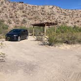
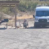
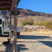
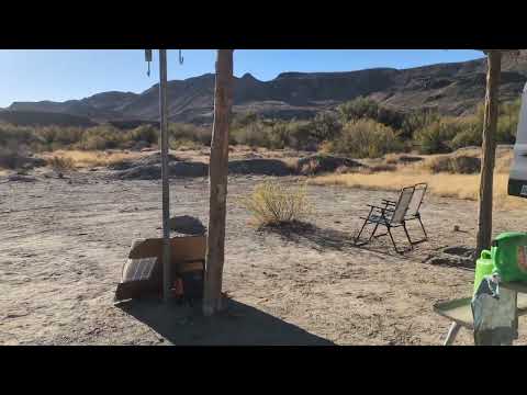
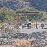
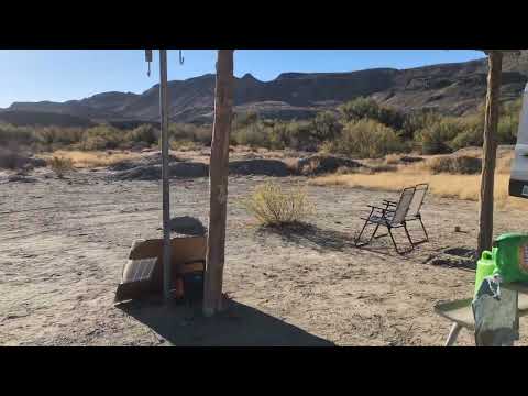
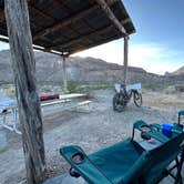
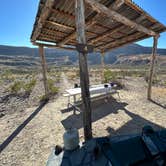
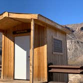
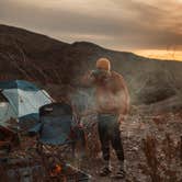
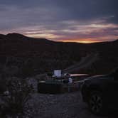
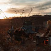
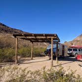
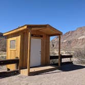
Lower Madera has 15 numbered sites in a loop plus two larger standalone sites, numbers 16 and 17, positioned closer to the boat ramp. Each site includes a fire pit, picnic table, and a shade canopy, with composting pit toilets at two locations in the lower area. Sites are flat, unpaved, and widely spaced, with minimal vegetation between them. There is essentially no shade beyond the metal canopies. Wildlife is active: javelinas, skunks, and coyotes are regularly reported after dark. Cell service is nonexistent at the campground.
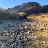
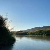
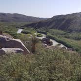
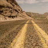
The Rio Grande runs within short walking distance of Lower Madera. A boat ramp provides the primary access point to the water, and canoe and kayak outfitters pass through regularly to drop off and pick up floaters, which means sites 16 and 17, closest to the ramp, see consistent foot traffic from commercial groups. "The drive up and down River Road is absolutely stunning," notes Katie M., referring to Highway 170, which runs along the Rio Grande between Lajitas and Presidio. The area sits within a designated dark sky zone, and canyon views from the lower sites face toward the river and the cliffs on the Mexico side.
Potable water is not available at the campground. As Shari G. puts it, "Potable water was only available at the Park's Visitor Center, so plan accordingly." The nearest visitor center is roughly 12 miles away. Lajitas, just down Highway 170, has a store for basic resupply. Flooding is a real consideration for Lower Madera sites, particularly after rain; if conditions look uncertain, higher-elevation sites in the loop or Upper Madera provide more clearance. Campers researching places to camp around Big Bend Ranch State Park will find other options along the River Road corridor, including Grassy Banks Campground about two miles east near the Barton Warnock Visitor Center.
Winter and early spring tend to offer cooler temperatures, though wind is consistent year-round. Summer heat, combined with the lack of shade trees, makes midday conditions demanding. Bring more water than you expect to need, and confirm burn ban status before counting on campfire use.
RV Road Trip Guides

Map & DirectionsUpper & Lower Madera Campground is located in Texas near Redford
 Public Campground
Coordinates
29.29172764 N
103.91785455 W
Connectivity
 T-MobileNo Coverage
- VerizonNo CoverageVerified by 1 userLast on 11/14/25
- AT&TNo Coverage
Connectivity
- T-MobileNo Coverage
- VerizonNo CoverageVerified by 1 userLast on 11/14/25
- AT&TNo Coverage
Access
- Drive-InPark next to your site
- Walk-InPark in a lot, walk to your site.
- Hike-InBackcountry sites.
- Boat-InSites accessible by watercraft.
Site Types
- Tent Sites
- RV Sites
- Standard (Tent/RV)
- Group
- Tent Cabin
Features
For Campers
- Market
- Trash
- Picnic Table
- Firewood Available
- Reservable
- Toilets
- Alcohol
- Pets
- Fires
For Vehicles
- Pull-Through Sites
Drive Time
- 3 hrs 55 min from Odessa, TX
- 4 hrs 6 min from Midland, TX
- 4 hrs 28 min from El Paso, TX
- 5 hrs 31 min from Eagle Pass, TX