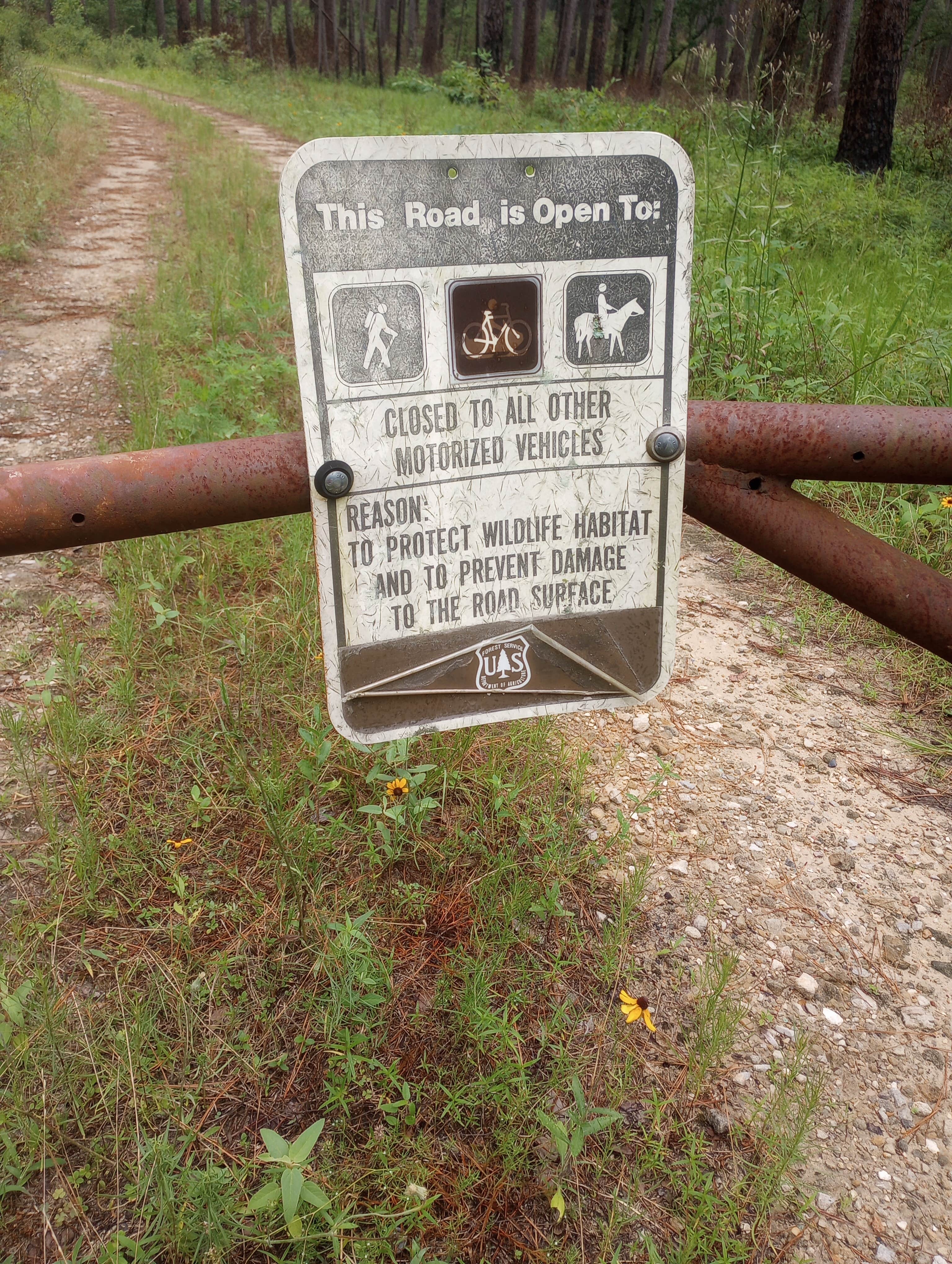
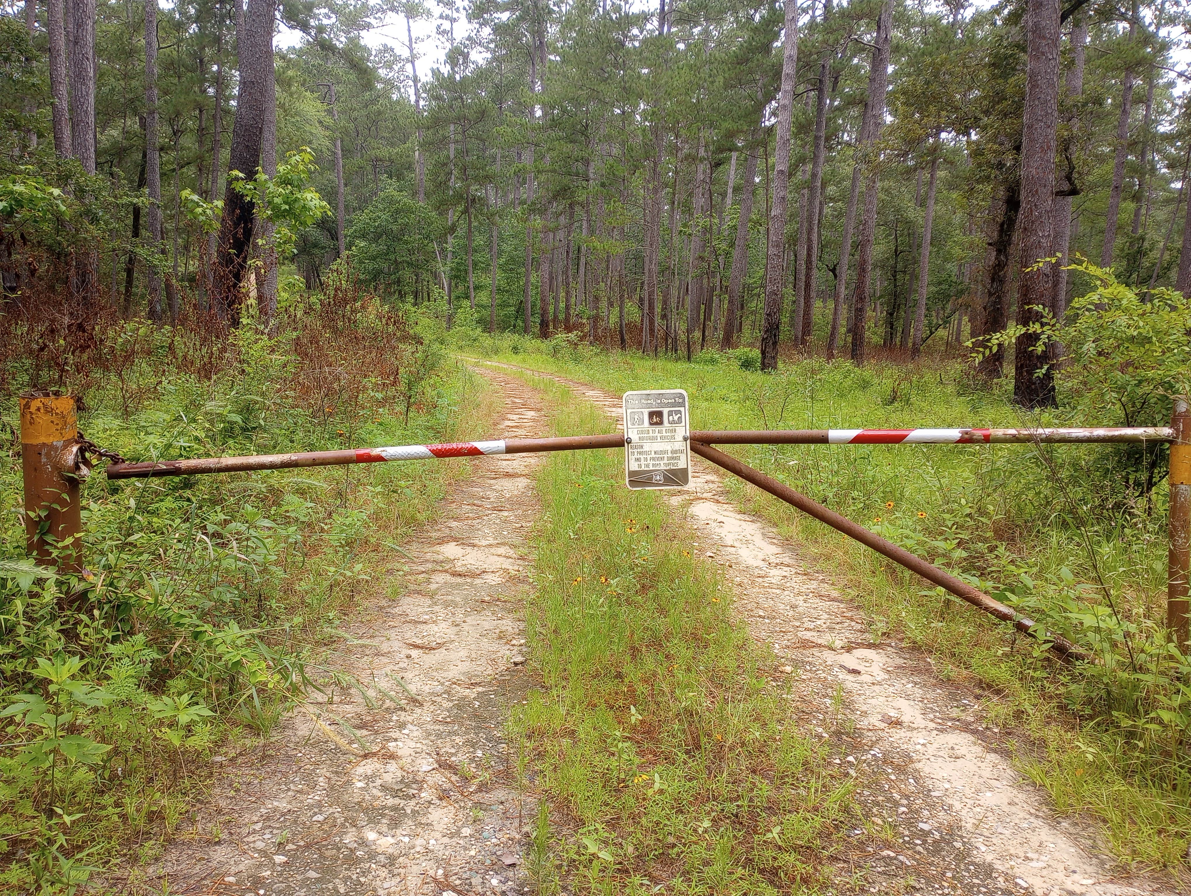
My son and I went in mid-November, so your experience will vary depending on time of year.
The LSHT is the longest hiking trail in the state. It is broken up into sections. We started at Section 1, which is the easternmost portion, hiking east-west. Each section has a trailhead with a parking lot. We hiked all of Section 1 and half of Section 2. Each of the 2 sections was about 8 miles long. The length of the LSHT is about 130 miles.
Zero amenities. No restrooms. No electricity. No cell coverage. Nada. The LSHT is in the Sam Houston National Forest, about an hour north of Houston. So it’s not a "campground," per se, but you can camp anywhere that’s feasible. We just didn’t find very many feasible places to camp. There is a lot of dense undergrowth along the trail portion we hiked. And mud. Lots and lots of mud. It had been raining a lot in the preceding weeks. I’d call the ranger office and ask about trail conditions and what the weather's been like if I were you. I hope you have a good pair of waterproof boots.
We found a decent spot about 4 miles in, set up our hammocks, and had a good night's rest. The first day's hike was great - plenty of sunshine, cool but not cold, few mosquitoes. It got cold within a couple hours after sunset. I’m glad I brought my underquilt, sleeping bag, and blanket. I’m also glad I brought an extra pair of warm socks, flannel pajama bottoms, and a sock cap. My hiking clothes were soaked with sweat, so changing out of them was essential for a good night's sleep. Well, I don’t actually sleep on these trips. I doze off and on. Anyway, there were no big surprises during the night. The sound of insects. Leaves and branches falling. Coyotes howling in the distance. But nothing scary or annoying. It was very pleasant.
The original plan was to hike both sections, so we parked my son's pickup at Trailhead 6 and drove back to Trailhead 1 to park my Jeep and start the hike. The plan was solid as long as we started early in the day and could average 2 miles an hour. But we wound up starting out late in the day and did I mention the mud? There was a lot of mud. And obstacles to cross. And creeks to cross. And mud. And more mud. Lots and lots of mud. So we were only able to do 4 miles before we had to find a place to camp. Otherwise, we'd be hiking in the dark.
So the morning of day 2, we packed our gear and trudged on as quickly as we could. We had about 12 miles to cover. It seemed doable at the time. But the weather changed. It got considerably cooler and overcast and rainy. It wasn’t constant, and it was never a downpour. But it was 50s and damp. Drizzly. We trudged on for about another 8 miles and decided to leave the trail at Trailhead 4 and hit the pavement, for fear that we'd again run out of daylight somewhere between Trailheads 4 and 6.
My advice? Do your homework. Read up in the LSHT. Peruse the website http://lonestartrail.org and buy the book. Prepare for a long slog through mud. I’m glad I took a hammock because there weren’t many places suitable for tent camping. Take plenty of water and a water purifier because there is no potable water available on the sections we hiked. Two people in 2 separate vehicles is a must unless you’re a thru-hiker or just want to hike a bit and hike back to your car. It’s mostly flat with no steep ups and downs, rock climbing, or anything like that. But there were quite a few creek crossings that required going down into a gully and up the other side. I did mention the mud, right?


