SUMMARY PRESENTED BY
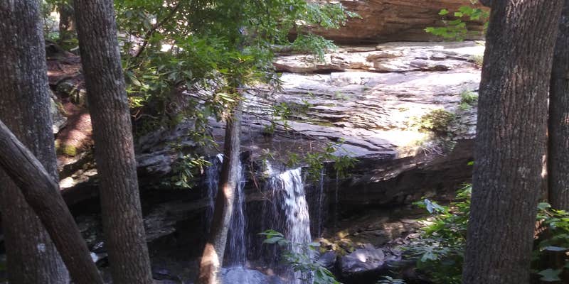
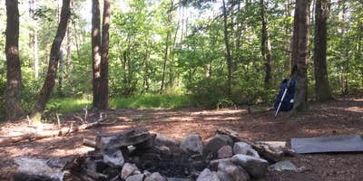
This hike-in campground within Laurel Snow Pocket Designated State Natural Area requires backpacking gear and navigation skills to reach scattered sites along the Cumberland Trail. Tennessee State Parks manages the area, providing drinking water access and allowing both campfires and pets. Trail navigation presents challenges at certain points, with some campers recommending offline maps for reliable route-finding. One campsite sits close to a waterfall, though accessing water sources can prove difficult from some locations. Campers should plan for camping near Dayton if seeking drive-up alternatives or last-minute supplies before the hike.
RV Road Trip Guides


Map & DirectionsLaurel Snow is located in Tennessee near Dayton
Coordinates
35.52131384 N
85.01956736 W
Connectivity
 T-Mobile5GExcellent Coverage
 Verizon5GGood CoverageVerified by 1 user
- AT&T5GExcellent Coverage
Connectivity
- T-Mobile5GExcellent Coverage
- Verizon5GGood CoverageVerified by 1 user
- AT&T5GExcellent Coverage
Access
- Walk-InPark in a lot, walk to your site.
- Hike-InBackcountry sites.
Site Types
- Tent Sites
Features
For Campers
- Drinking Water
- Pets
- Fires
Drive Time
- 35 min from Cleveland, TN
- 38 min from Chattanooga, TN
- 1 hr 18 min from Knoxville, TN
- 1 hr 51 min from Rome, GA


