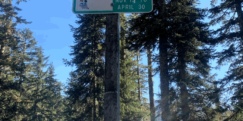
Tombstone Sno-Park is located in the Willamette National Forest, surrounded by forested terrain. Temperatures can range from lows in the 30s Fahrenheit during winter to highs in the 80s during summer. Nearby, visitors can explore the scenic trails of the Santiam Pass and visit the picturesque Clear Lake.
Description
This sno-park, located about 30 miles east of Sweet Home, Oregon, and 11 miles west of Santiam Junction on US Highway 20 offers three trails.
RV Road Trip Guides
SPONSORED BY


Map & DirectionsTombstone Sno-Park is located in Oregon near Willamette National Forest
Directions
From Sweet Home, Oregon travel east on Highway 20 for 34.6 miles to Tombstone Pass. Or follow the directions to the Tombstone Pass/ Cone Peak Trailhead .
Coordinates
44.39527086 N
122.14080982 W
Connectivity
 T-MobileNo CoverageVerified by 2 usersLast on 6/24/26
- VerizonNo Coverage
- AT&TNo Coverage
Connectivity
- T-MobileNo CoverageVerified by 2 usersLast on 6/24/26
- VerizonNo Coverage
- AT&TNo Coverage
Access
- Drive-InPark next to your site
Site Types
- Tent Sites
- RV Sites
- Group
Features
For Campers
- Trash
- Toilets
- Alcohol
- Pets
For Vehicles
- Pull-Through Sites
Drive Time
- 1 hr 4 min from Bend, OR
- 1 hr 13 min from Albany, OR
- 1 hr 31 min from Eugene, OR
- 1 hr 35 min from Salem, OR


