Public Campground
Mccully Forks
Mccully Forks is located near Sumpter in the Wallowa-Whitman National Forest. The area features forested terrain with elevations that can influence temperatures, ranging from 30°F in winter to 80°F in summer. Nearby attractions include the Sumpter Valley Dredge State Heritage Area and the Elkhorn Scenic Byway, offering opportunities for exploration and sightseeing.
Description
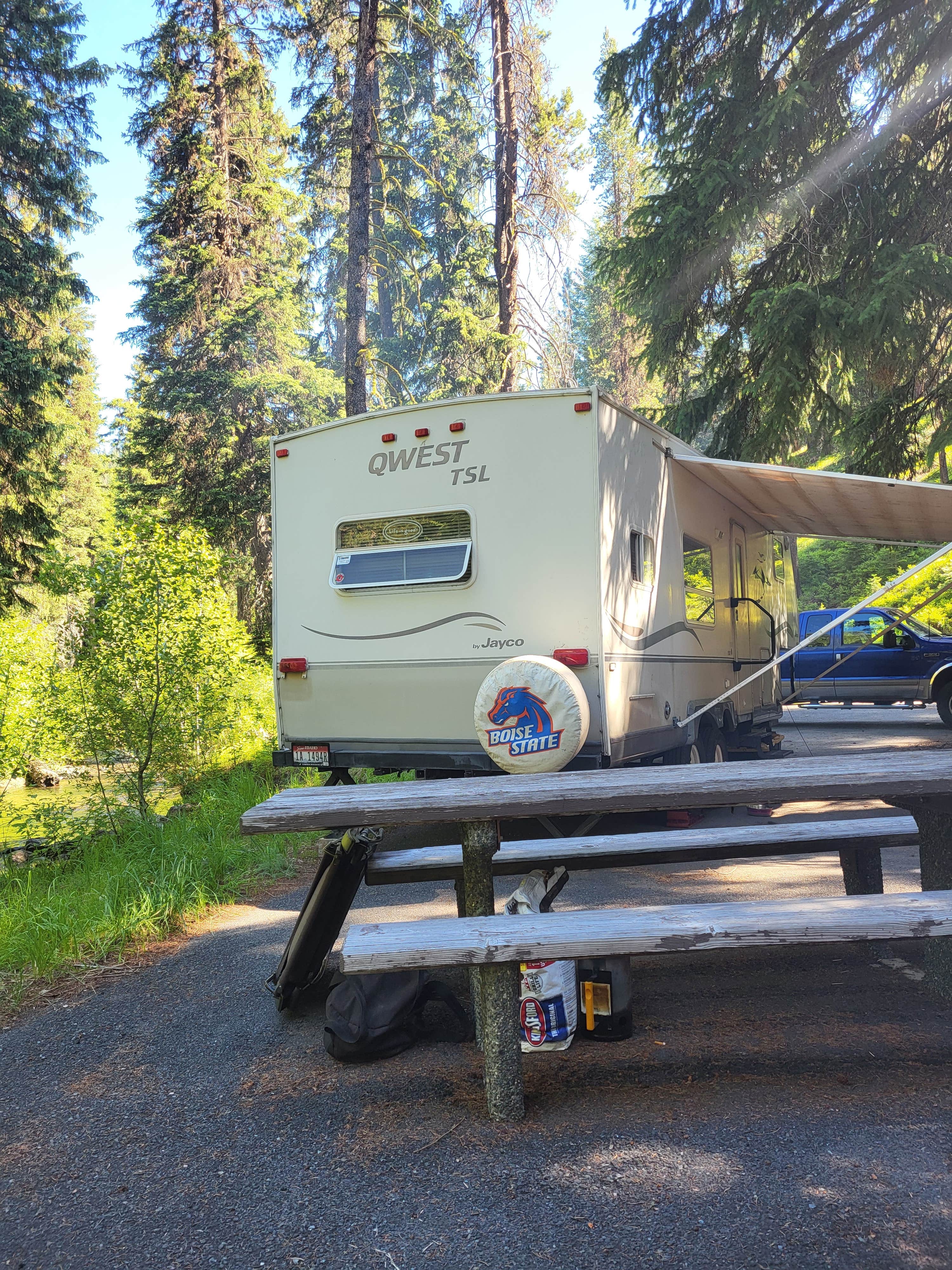
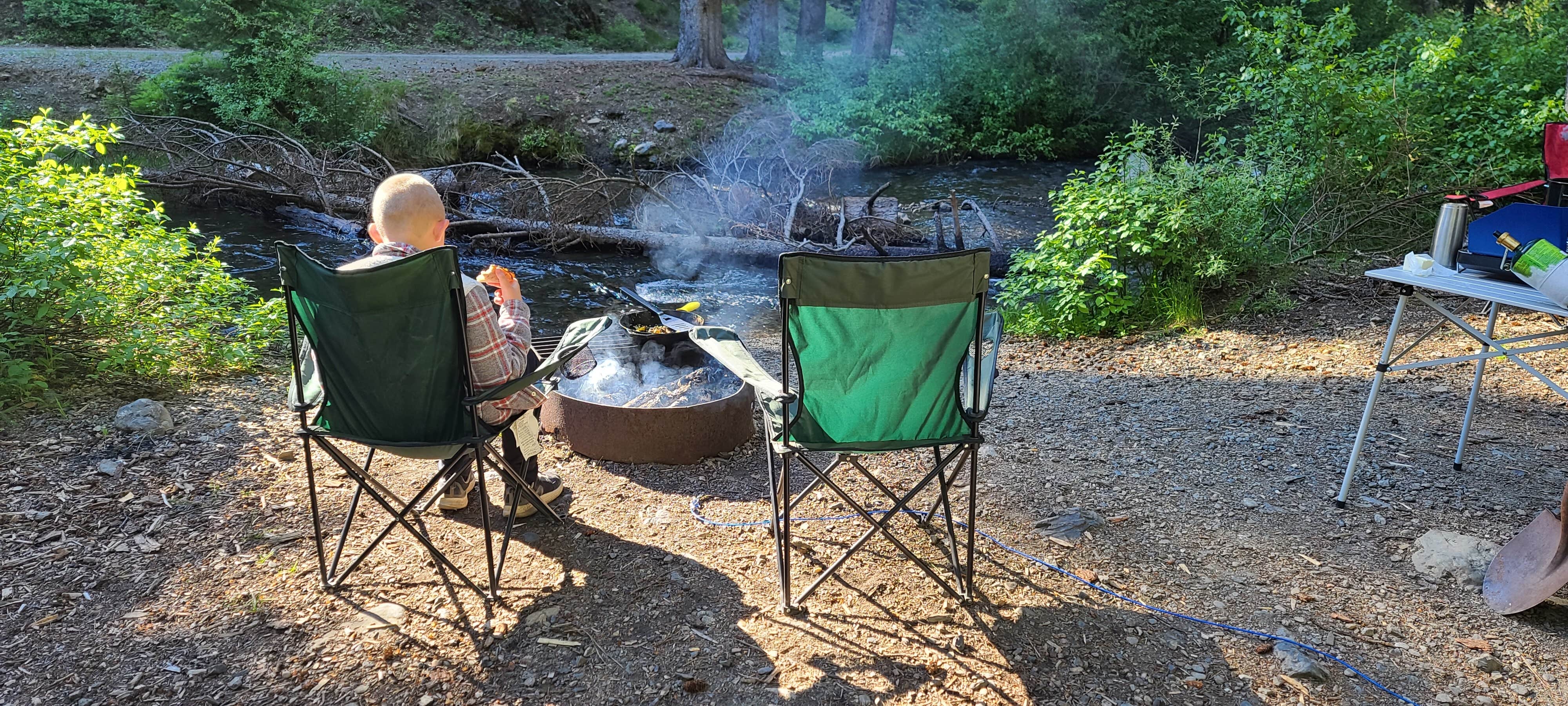
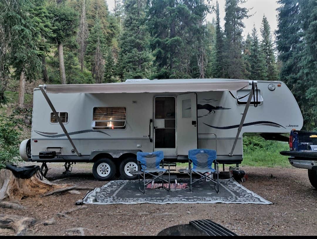
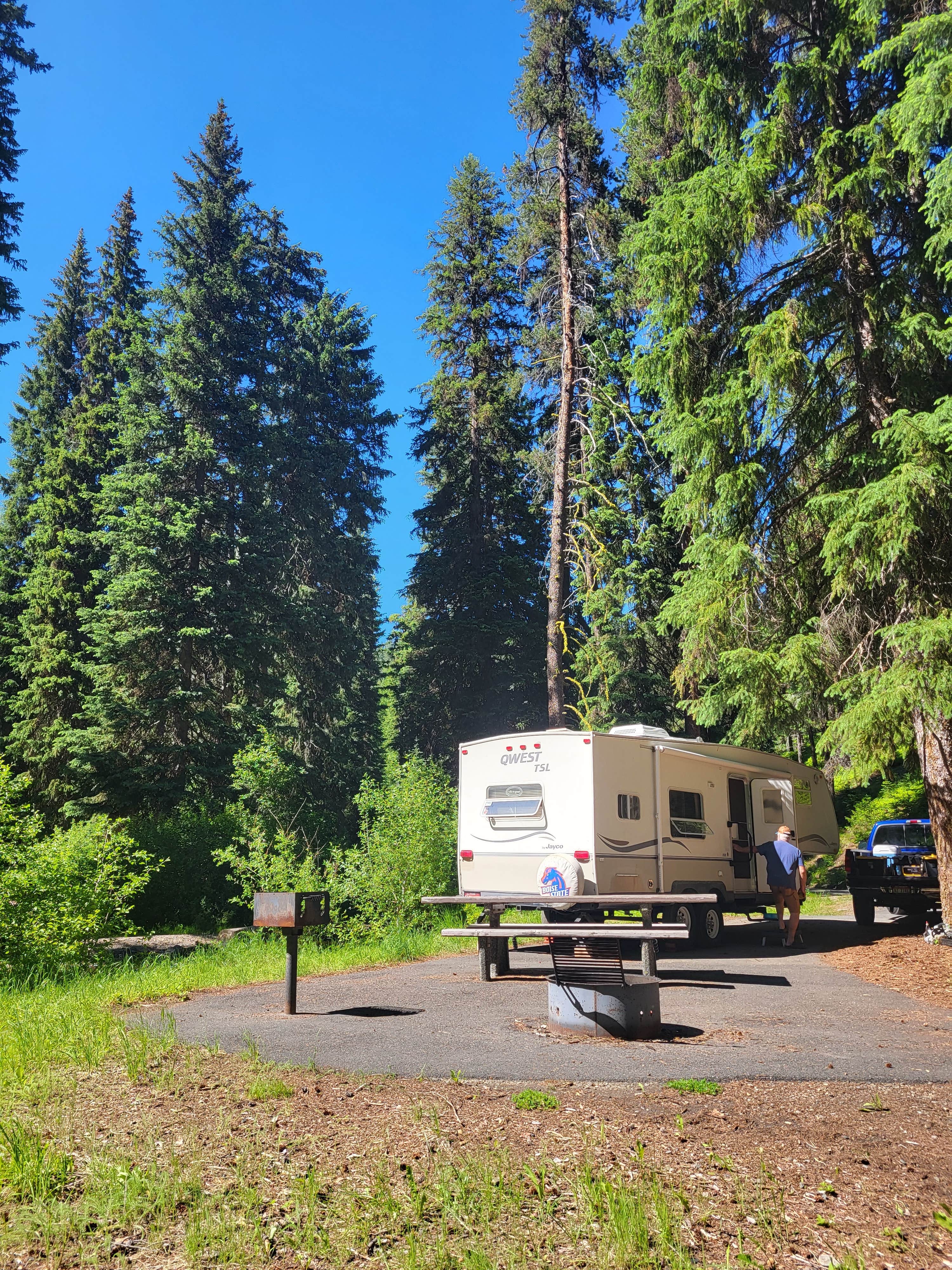
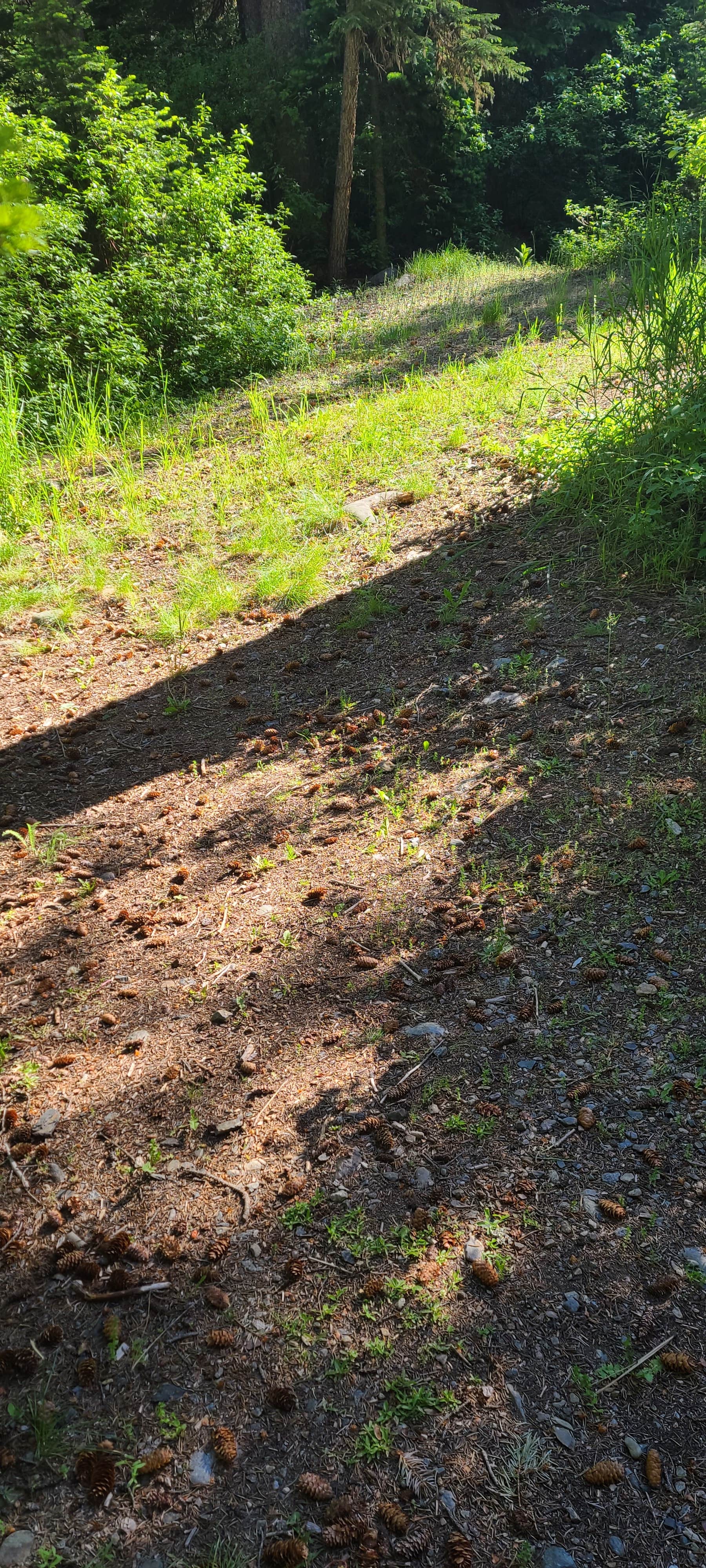
Located along the Elkhorn Drive Scenic Byway, the McCully Forks Campground is set near a small stream in a forested setting. Popular activities include; visiting the Sumpter Valley Dredge State Park, day hikes, relaxing, visiting the historic town of Sumpter, and exploring along the byway.
Location
Mccully Forks is located in Oregon
Directions
From Baker City, Oregon travel south on State Highway 7 for 26 miles to State Highway 220 (also known as the Sumpter Valley Highway); Turn right on Highway 220 and go 6 miles (you will go past the town of Sumpter); the campground entrance sign is on the right; Camp sites are on both sides of the road and creek.
Coordinates
44.76700001 N
118.24600097 W
Connectivity
- T-MobileNo Coverage
- VerizonNo Coverage
- AT&TNo Coverage
Connectivity
- T-MobileNo Coverage
- VerizonNo Coverage
- AT&TNo Coverage
Access
- Drive-InPark next to your site
- Walk-InPark in a lot, walk to your site.
Site Types
- Tent Sites
- RV Sites
Features
For Campers
- Toilets
- Alcohol
- Pets
- Fires
Drive Time
- 2 hrs 23 min from Boise, ID
- 2 hrs 43 min from Walla Walla, WA
- 2 hrs 58 min from Kennewick, WA
- 4 hrs 18 min from Lewiston, ID

