This county-managed campground provides free overnight camping along the Rio Grande, accessible via a steep dirt road that drops from the main berm. The entrance requires careful navigation due to potholes and the sharp descent, with reviewers noting space constraints for RVs longer than 20 feet.
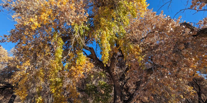
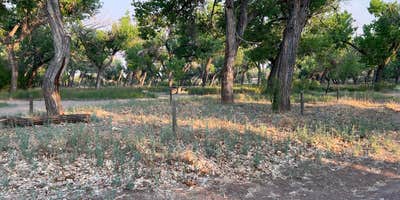
Seven to eight loosely defined sites spread through a cottonwood grove near the riverbank, some equipped with fire rings and picnic tables. The area shows signs of limited maintenance, with overgrown grass and aging infrastructure, though campers consistently find the grounds clean and trash-free. Walking trails connect the camping area to river access points, while cell service remains reliable throughout the park.
Road noise from the nearby highway stays minimal, and the location serves birders well during winter months when waterfowl concentrate in the adjacent wetlands. Michelle B. found it a "pleasant breezy cottonwood grove" for overnight stops. Fire restrictions often apply, and no restrooms or trash collection exist on-site.
The campground works best for self-contained campers seeking a no-cost riverside stop rather than a destination stay, particularly those exploring campgrounds around Socorro or visiting the nearby wildlife refuge.
Description
San Antonio Park is the southernmost park and is adjacent to the Hwy 380 Bridge. This park has 5 tables, 5 grills and is located in a beautifully restored Bosque that is about 60 years old (it dates from the last major flood of the Rio Grande in the 1940’s). San Antonio Elementary School adopted the park in 2007 and uses the park as an outdoor classroom and community service project. The site is also maintained by citizens of San Antonio who use the park for evening strolls along the river. The cottonwood stand was restored by removing the salt cedar, burning the slash and then treating the re-sprouts with herbicide (a common method to control the re-sprouting of salt cedar roots).
RV Road Trip Guides


Map & DirectionsSan Antonio Riverine Park is located in New Mexico near Socorro
Coordinates
33.91958419225185 N
106.85494914701904 W
Connectivity
 T-Mobile5GExcellent Coverage
- Verizon5GExcellent CoverageVerified by 20 usersLast on 6/22/26
- AT&T5GExcellent CoverageVerified by 2 users
Connectivity
- T-Mobile5GExcellent Coverage
- Verizon5GExcellent CoverageVerified by 20 usersLast on 6/22/26
- AT&T5GExcellent CoverageVerified by 2 users
Access
- Drive-InPark next to your site
Site Types
- Tent Sites
- RV Sites
- Standard (Tent/RV)
Features
For Campers
- Picnic Table
- Phone Service
- Alcohol
- Pets
FREE established camping
Enjoy camping on government land. Limited or no services at this camping area.
PERMIT might be REQUIRED
We curate permit requirements across the US for our PRO members. Try PRO to see if San Antonio Riverine Park needs a permit.
Drive Time
- 1 hr 9 min from Albuquerque, NM
- 1 hr 52 min from Las Cruces, NM
- 1 hr 53 min from Santa Fe, NM
- 2 hrs 27 min from El Paso, TX


