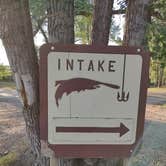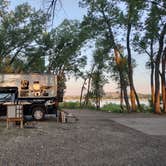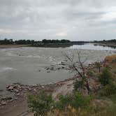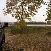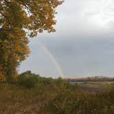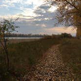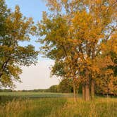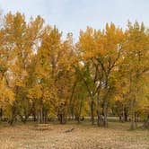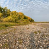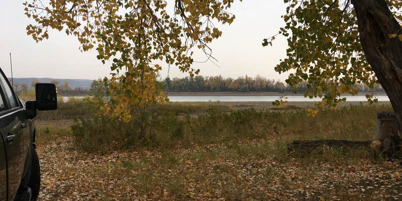
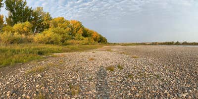
Situated along the Yellowstone River just below a low-head dam in eastern Montana, Intake Dam Fishing Access Site draws anglers, paddlers, and casual overnight campers looking to spend time on the water. The campground sits well off the highway, with sites spread across a grassy area shaded by large cottonwood trees. Several sites sit directly on the river's edge.
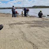
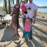
Fishing is a central draw here. During paddlefishing season in May and June, the riverbanks fill with anglers targeting fish that can exceed 100 pounds, and sturgeon fishing is active in the area as well. Outside of that season, the campground sees noticeably lighter use. Reviewers consistently note the sites are level and spacious, with fire rings and picnic tables at each one. Vault toilets are distributed throughout, and two water spigots with strong pressure serve the site. Bugs, particularly mosquitoes and flies, are a recurring complaint from warmer-month visitors worth factoring into trip planning.
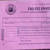
Judy T. notes the campground is "away from the highway that didn't see much traffic," which reflects the general character of the area. Fees run $5 to $18 per night, with a discount available for Montana fishing license holders. Pets are permitted. Campers planning a longer stay in the region can find campgrounds near Glendive to compare options, or consider Caprock RV Park or Green Valley Campground for a more developed setup.
Description
This popular paddlefishing site is 40 acres in size at 3,084 feet in elevation. There are 40 camping spaces with access for camp trailers available. The site offers a public phone (5/15 - 6/30), grills/fire rings, picnic tables, toilets, trash cans, and drinking water (5/15 - 10/1). Time limit: 7 days during a 30 day period. Fee camping. A golf course and museum are located nearby in Glendive.
RV Road Trip Guides

Map & DirectionsIntake Dam is located in Montana near Glendive
 Public Campground
Directions
Intake Dam Fishing Access Site is located from I-94, using exit 213 north, off at Glendive, 16 miles northeast on Highway 16, 2 miles east on county road.
Coordinates
47.28209137456778 N
104.52532470985008 W
Connectivity
 T-Mobile5GExcellent Coverage
 VerizonLTESome CoverageVerified by 2 usersLast on 10/4/26
- AT&TLTESome Coverage
Connectivity
- T-Mobile5GExcellent Coverage
- VerizonLTESome CoverageVerified by 2 usersLast on 10/4/26
- AT&TLTESome Coverage
Access
- Drive-InPark next to your site
- Walk-InPark in a lot, walk to your site.
- Boat-InSites accessible by watercraft.
Site Types
- Tent Sites
- RV Sites
- Standard (Tent/RV)
- Group
Features
For Campers
- Trash
- Picnic Table
- Phone Service
- Drinking Water
- Toilets
- Alcohol
- Pets
- Fires
Drive Time
- 2 hrs 54 min from Bismarck, ND
- 3 hrs 16 min from Billings, MT
- 3 hrs 24 min from Minot, ND
- 4 hrs 23 min from Rapid City, SD