Free Camping Collection
Public Campground
Arthur Dupree Memorial Conservation Area
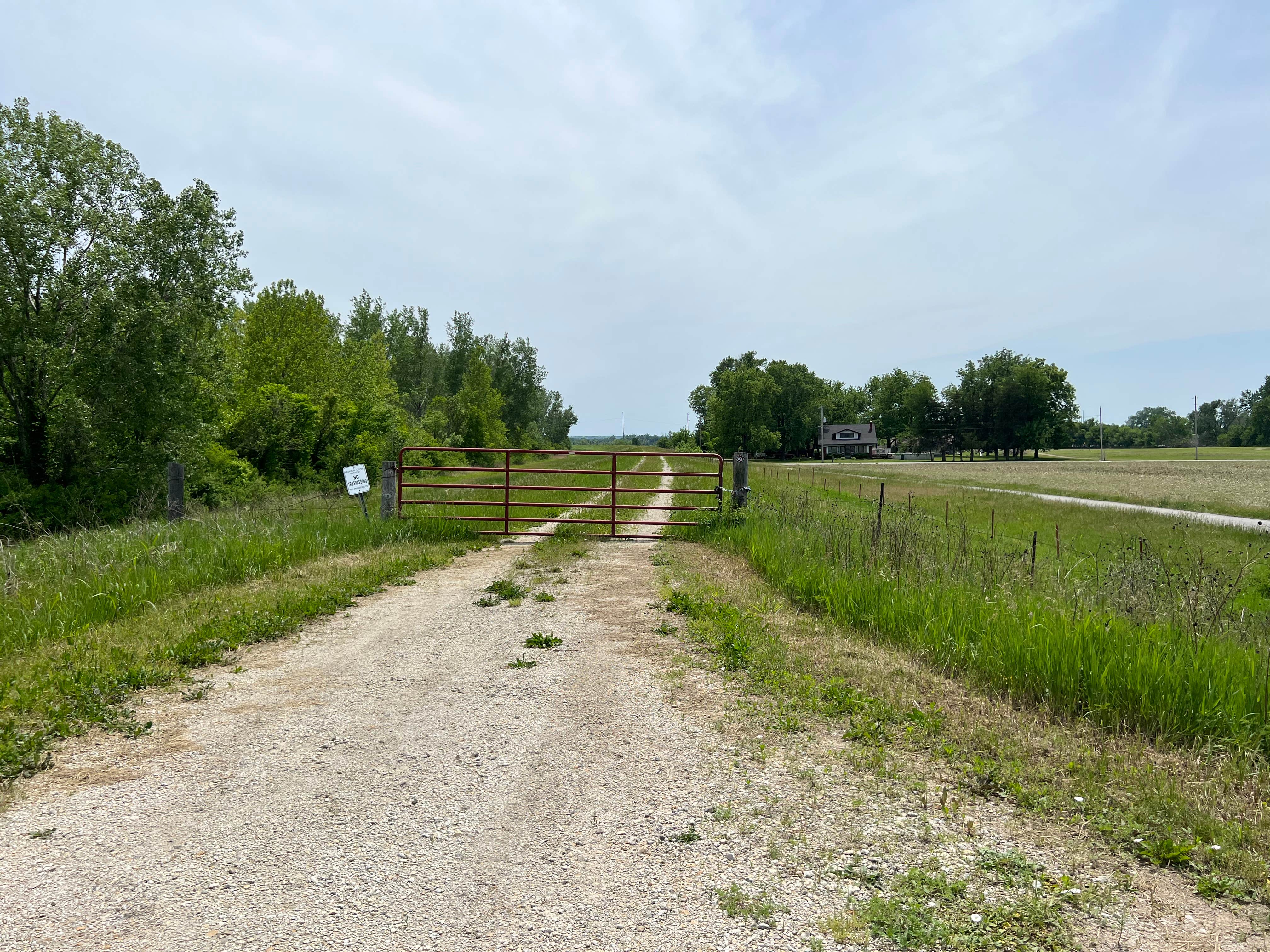
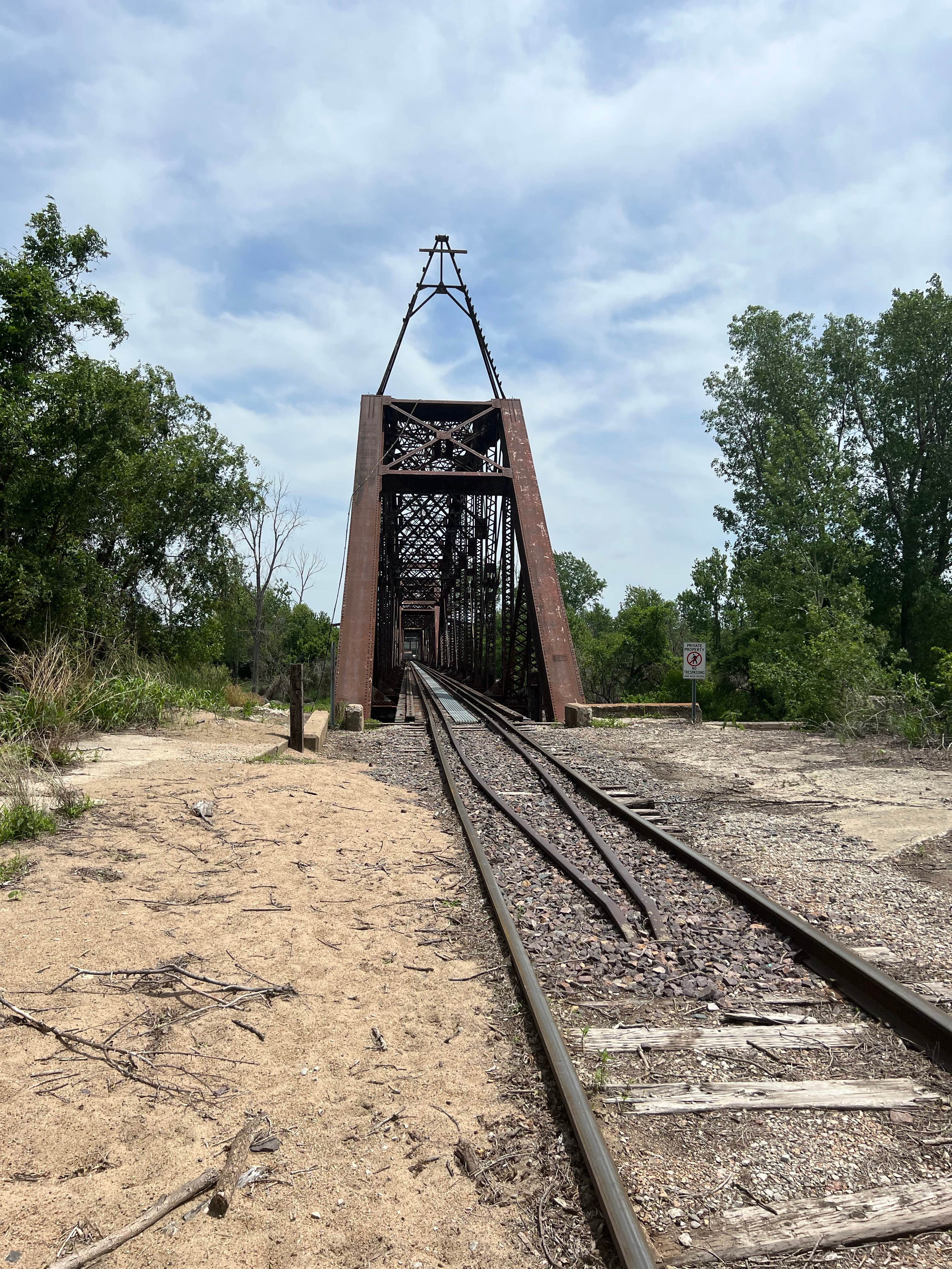
Arthur Dupree Memorial Conservation Area in Missouri features flat terrain with scattered trees and open spaces. Temperatures range from lows in the 20s during winter to highs in the 80s in summer. Nearby, campers can explore the Pony Express Lake Conservation Area and the historic sites of St. Joseph.
Description
Arthur Dupree Memorial Conservation Area is in Buchanan County, west of St. Joseph. The Missouri Department of Conservation received an initial donation of 145 acres in 1992. In late 1994, a second donation expanded the area to its current size of 236 acres. The area offers 1.75 miles of Missouri River frontage and a parking lot. The area was cropland until it was transferred to the Conservation Department. It has been allowed to re-vegetate naturally and was planted to supplement the development of a riparian corridor (the area adjacent to the waterway). A healthy riparian corridor helps improve water quality and stabilizes the riverbank. Riparian vegetation slows runoff, reduces erosion, traps sediment, filters pollutants, and provides food and shelter for wildlife. The area is available for a variety of activities.
Camping is permitted in designated areas and is limited to 14 consecutive days in a 30-day period. Groups of 10 campers or more must obtain a special use permit. Persons traveling the Missouri River by boat may camp on any suitable site within 100 yards of the river and moor overnight adjacent to camp but outside the navigation channel between April 1 and September 30
Boats may be used for fishing and wildlife-related activities only and may not be stored or left unattended overnight.
Location
Arthur Dupree Memorial Conservation Area is located in Missouri
Directions
From St. Joseph, take Highway 36 west across Missouri River, then north on Airport Road, then 26th Road north 0.75 mile, and DuPree Road east 0.75 mile.
Coordinates
39.79423450516441 N
94.88287588606313 W
Connectivity
- T-Mobile5GGood Coverage
- VerizonLTESome Coverage
- AT&T5GGood Coverage
Connectivity
- T-Mobile5GGood Coverage
- VerizonLTESome Coverage
- AT&T5GGood Coverage
Access
- Drive-InPark next to your site
- Walk-InPark in a lot, walk to your site.
Site Types
- Tent Sites
- RV Sites
- Standard (Tent/RV)
Features
For Campers
- Alcohol
- Pets
- Fires
FREE established camping
Enjoy camping on government land. Limited or no services at this camping area.
PERMIT might be REQUIRED
We curate permit requirements across the US for our PRO members. Try PRO to see if Arthur Dupree Memorial Conservation Area needs a permit.
Drive Time
- 7 min from St. Joseph, MO
- 49 min from Kansas City, MO
- 1 hr 4 min from Lawrence, KS
- 1 hr 25 min from Topeka, KS


