Camper submitted image from Laurel Ridge — Mount Everett State Reservation - 1
View All
Camper submitted image from Laurel Ridge — Mount Everett State Reservation - 2
Nature
Camper submitted image from Laurel Ridge — Mount Everett State Reservation - 3
Signs & Maps
Camper submitted image from Laurel Ridge — Mount Everett State Reservation - 4
People
Camper submitted image from Laurel Ridge — Mount Everett State Reservation - 5
Water

Established Camping

Laurel Ridge — Mount Everett State Reservation

Laurel Ridge at Mount Everett State Reservation is located in a region characterized by forested terrain and rolling hills. Temperatures range from lows in the 20s Fahrenheit during winter to highs in the 80s during summer. Nearby, campers can explore the Appalachian Trail and Bash Bish Falls, offering opportunities for hiking and nature observation.

Suggest an Edit

Location

Laurel Ridge — Mount Everett State Reservation is located in Massachusetts

Detail location of campground

Coordinates

42.05431198 N
73.44013397 W

Open in Google Maps

The Dyrt Alerts

Get reservations at sold-out campgrounds.

Learn More

Access

  • Hike-In
    Backcountry sites.

Stay Connected

  • WiFi
    Available
  • Verizon
    Unknown
  • AT&T
    Available
  • T-Mobile
    Unknown

Site Types

  • Tent Sites

Features

For Campers

  • Picnic Table
  • Pets


Reviews

Add Review

5 Stars

4 Stars

3 Stars

2 Stars

1 Star

50%
50%
0%
0%
0%

4.5

out of 5

2 Reviews

Reviewed May. 8, 2021

A well-earned view!

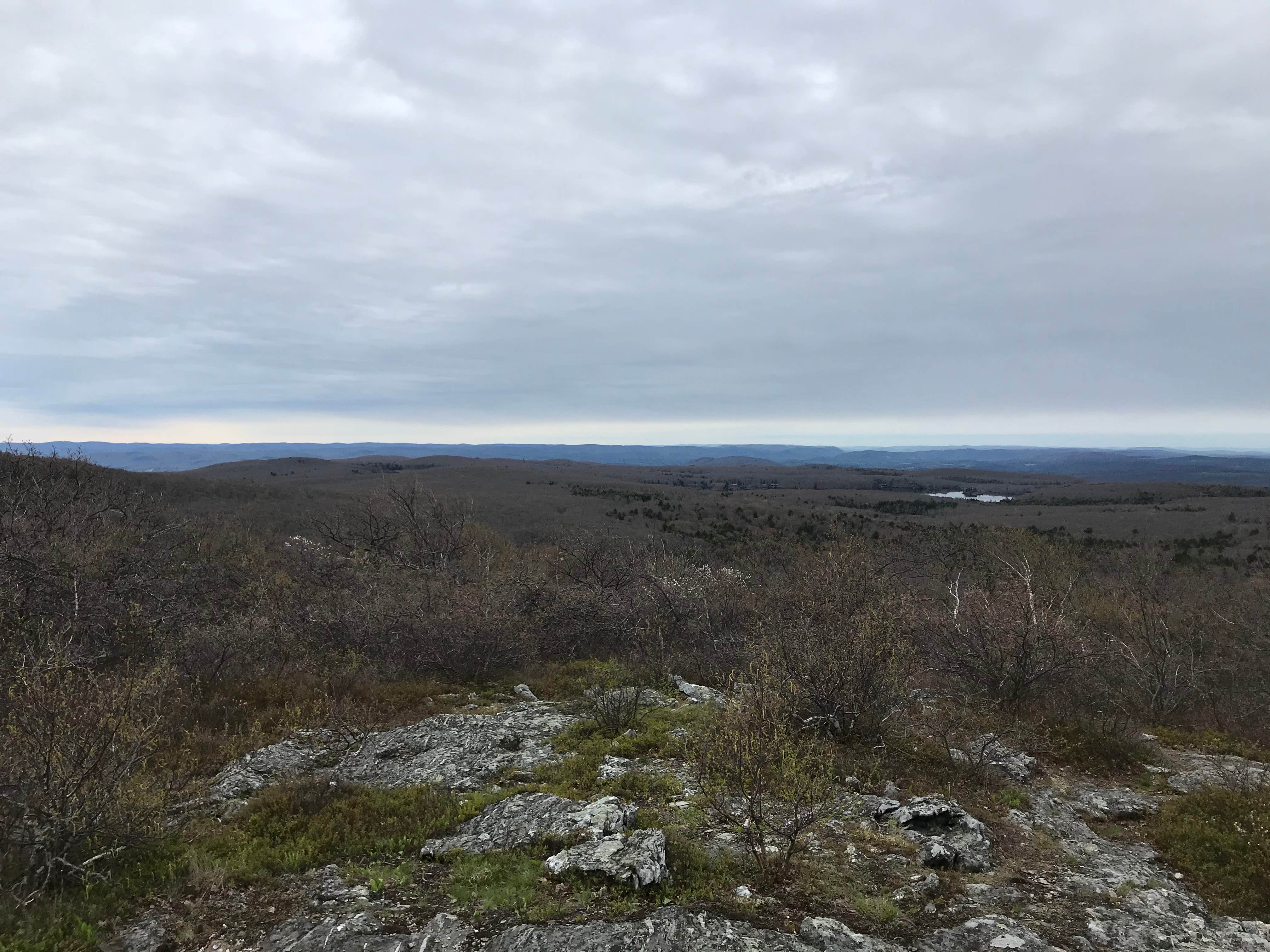
It's quite a hike to get to this dispersed campground, so be prepared! We packed on our backpacks early in the morning and arrived there mid-afternoon. Very beautiful view, and an awesome spot! No fires allowed, however.

Month of VisitMay
  • Review photo of Laurel Ridge — Mount Everett State Reservation by Nora S., May 8, 2021
  • Review photo of Laurel Ridge — Mount Everett State Reservation by Nora S., May 8, 2021
  • Review photo of Laurel Ridge — Mount Everett State Reservation by Nora S., May 8, 2021
  • (4) View All
Reviewed Sep. 16, 2018

Overnight challenging hike

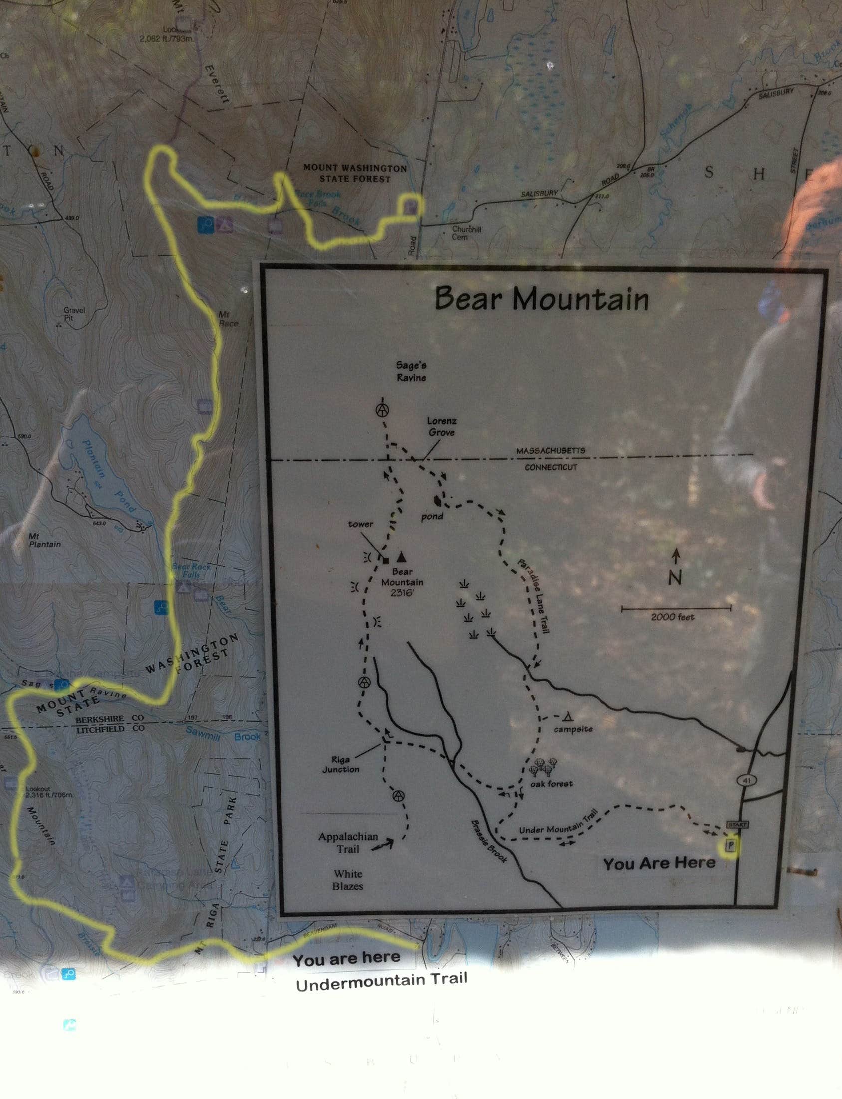
This was one of my favorite all time hiking/camping experiences.My friends and I were doing this as an overnight hike. We actually started this hike in by Race Brook Falls area, and ended it where the GPS coordinates are noted. See the map in my photos marked with yellow lines. Basically left a car where we were ending the hike, and took another car with everyone crammed in to the Race Brook Falls parking lot which off Route 41 in Sheffield, Massachusetts.

We began by making the hike up Mount Race. No matter where you start, you'll be hiking on some of the steepest parts of the Appalachian Trail in the northwestern Connecticut and southwestern Massachusetts. On the way up you will see signs for Race Brook Falls; its pretty beautiful and worth a day hike if you aren't camping or whatnot. The entire hike to the top is pretty hard, but worth it.

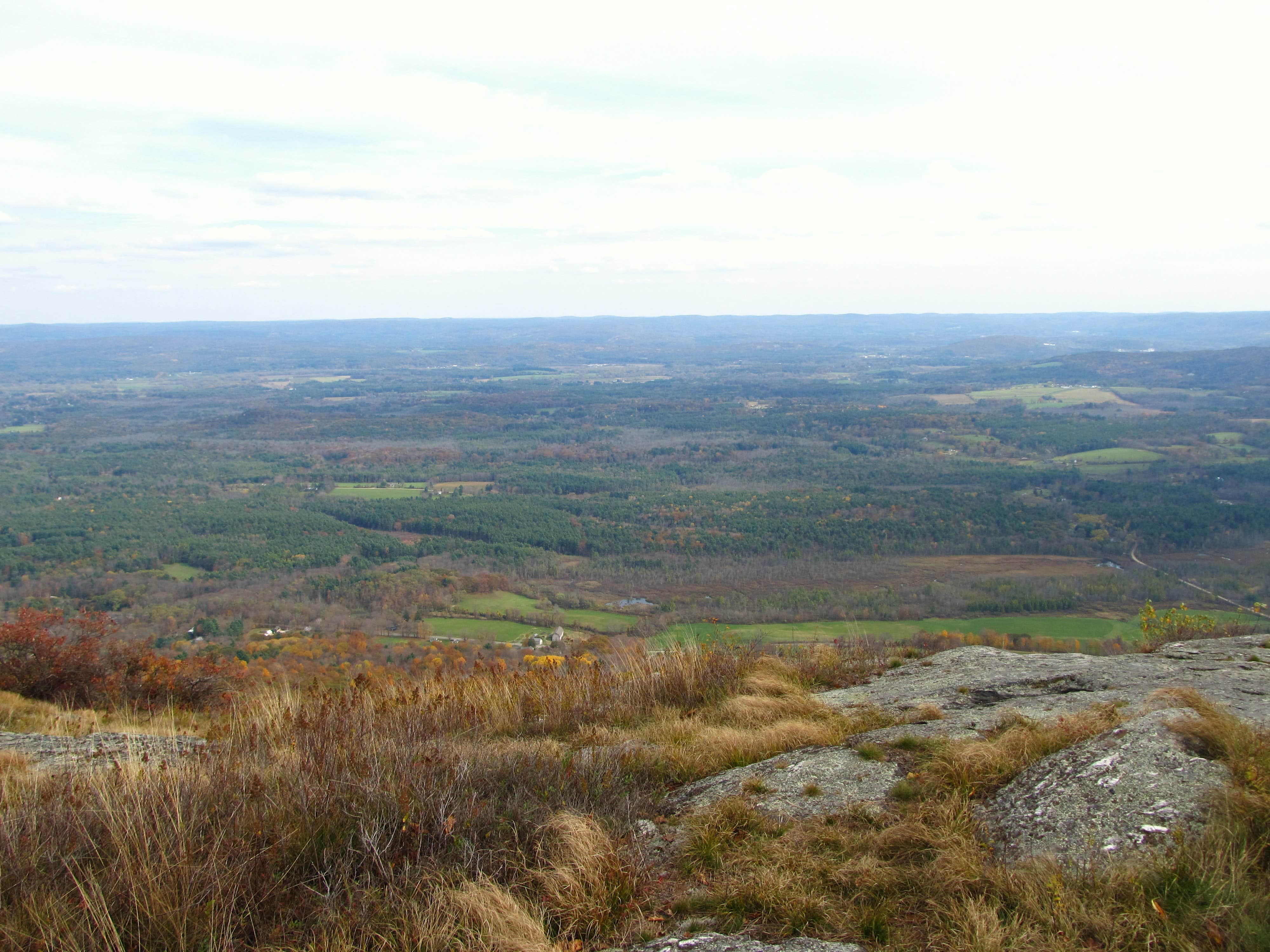
The views once you get up there are nothing short of stunning and there is a short section of trail that that's really the kind of spot that makes you go "This is why I hike!". There's a sheer drop-off of hundreds of feet spreading out into a massive valley scene below. We then headed to the direction of Sages Ravine. It was a few hours later before we made it to Laurel Ridge Campsite. My friends used the platforms, I had a hammock.

I don't think you are supposed to make a fire, but am not sure. There was a fire pit there so we used it at night because it was pretty cold in the 50s and down to 40s late at night (this was OCT). There is an outhouse a ways from the camping area. There is also a bear box near that if you bring a padlock you can use it.

The next morning we headed down Sages Ravine (awesome!) and towards/past Bear Mountain onto Undermountain Trail. This was overall no easy hike in any way, so if you are not in moderate shape I would not recommend this to you. If you hike normally, and do some cardio like spin class or something regularly, try the day hike first. Then move on to the overnight. Good luck and enjoy!

SiteLaurel Ridge
Month of VisitOctober
  • Review photo of Laurel Ridge — Mount Everett State Reservation by Tina D., September 16, 2018
  • Review photo of Laurel Ridge — Mount Everett State Reservation by Tina D., September 16, 2018
  • Review photo of Laurel Ridge — Mount Everett State Reservation by Tina D., September 16, 2018
  • (11) View All

Frequently Asked Questions

  • What is the elevation of Laurel Ridge — Mount Everett State Reservation?

    Laurel Ridge — Mount Everett State Reservation is located at 1629 feet.

  • Is there cell phone reception at Laurel Ridge — Mount Everett State Reservation?

    According to campers on TheDyrt.com, Verizon signal is unknown, AT&T is available, and T-Mobile is unknown.