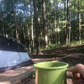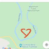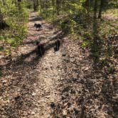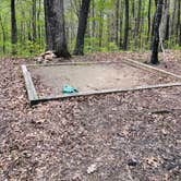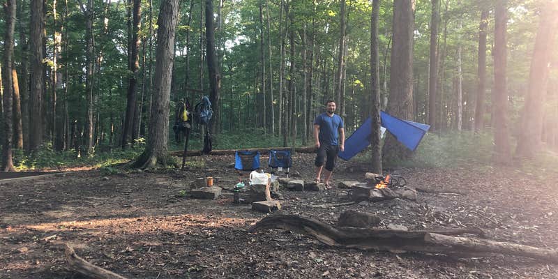
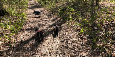
Mammoth Cave National Park manages Turnhole Backcountry Campsite on the far side of the Green River, reached via a hike of roughly three miles from the Maple Springs trailhead. The site sits on a ridge end where the river wraps around three sides, though the banks are dense with brush and water access is difficult; filtering from a nearby creek is more practical than reaching the river itself. No foot traffic passes through since the site is not on a loop trail. Campfires are allowed, and the site includes a tent pad, fire ring with grate, lantern hooks, and horse hitches. Call 270-758-2166 before driving out to confirm whether the Green River Ferry is running, as closures force a long detour to reach the trailhead.
Description
The park offers thirteen designated backcountry campsites that are accessible only by hiking or horseback. Backcounty sites are primitive, with only a fire ring and horse hitching posts available. All sites except McCoy Hollow have a nearby water source, but campers should boil and treat water before drinking, or plan to carry in drinking water. Campsites are limited to one party up to eight people in size. Pickup a Backcountry map at the Mammoth Cave Campground information kiosk, or the Visitor Information desk. Permit Required - $10 per trip. Reservations through Recreation.gov. Overnight camping is permitted along floodplains and on islands along the Green and Nolin Rivers. Camping in these areas is only accessible by boat. When camping on floodplains, campers must camp at least ½ mile away from Green River Ferry, Houchin Ferry and Dennison Ferry Day Use Area. Know where you are. Riverside camping on private lands outside the park may not be permitted. Sudden rainstorms can cause rapid flooding along riverways and river levels and currents fluctuate dramatically, particularly during winter months. Always check the river level and weather forecast before launching or camping along the rivers. Pickup a Backcountry map at the Mammoth Cave Campground information kiosk, or the Visitor Information desk. Permit Required - $10 per trip. Permits available online, up to a week in advance. Permits are subject to cancelation due to river levels. River levels must remain below 20 feet.
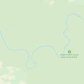
Map & DirectionsTurnhole Backcountry Campsite is located in Kentucky near Mammoth Cave National Park
 Public Campground
Coordinates
36.17825153710578 N
86.15979235441796 W
Connectivity
 T-Mobile5GExcellent Coverage
 VerizonLTESome Coverage
- AT&T5GExcellent CoverageVerified by 1 userLast on 12/11/25
Connectivity
- T-Mobile5GExcellent Coverage
- VerizonLTESome Coverage
- AT&T5GExcellent CoverageVerified by 1 userLast on 12/11/25
Access
- Walk-InPark in a lot, walk to your site.
- Hike-InBackcountry sites.
Site Types
- Tent Sites
- Dispersed
- Equestrian
Features
For Campers
- Phone Service
- Reservable
- Pets
- Fires
Drive Time
- 25 min from Bowling Green, KY
- 50 min from Elizabethtown, KY
- 1 hr 16 min from Owensboro, KY
- 1 hr 22 min from Louisville, KY