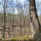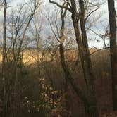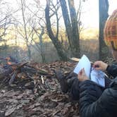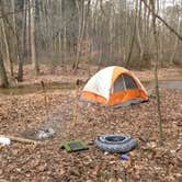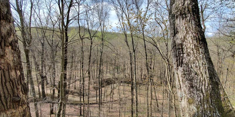
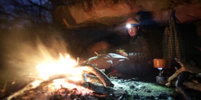
Hikers looking to log miles on the Knobstone Trail will find dispersed camping spread across forested and open terrain within Clark State Forest, one of Indiana's more demanding backcountry routes. The trail is hike-in and walk-in access only, with no drive-up sites. Road crossings appear roughly every five to ten miles, which gives thru-hikers natural bail-out points or resupply opportunities if plans change.
The Knobstone earns its reputation for continuous elevation gain and loss over short distances. Vistas open up along ridgelines, and fossil hunters will find specimens in creek beds and along the trail itself. Water sources exist throughout the route, but flow can thin significantly during summer and fall months, so carrying a filter is essential. Ticks are a documented concern, particularly in spring. As Dave E. notes, "Most people, even Hoosiers don't realize the Knobstone Trail exists."
Navigation to the trailhead has caused confusion for some visitors. At least one recent camper reported finding only a cable across the entrance with no clear parking area, so confirming the correct access point before arriving is worth the extra step. The nearby Deam Lake State Recreation Area Campground provides a developed alternative with hookups and showers for those who want a base camp with more infrastructure. Leave No Trace principles apply throughout the forest, and most visitors follow them.
Topo maps are available free online. Tell someone your itinerary before heading out, and plan water strategy carefully for any summer trip.
Description
NOTE: Sections of trail between the Spurgeon Hollow Trail Head and mile marker 44s (2016 map version) are very wet and in some cases standing in water. The trail is passable, but will require hikers to walk around these sections to remain dry. Permanent relocation of these wet sections is underway. The relocation will not deviated greatly from the trails current location, but it will eliminate the lakes seasonal high water impact on the trail. The Division of Forestry is a multiple-use system. Please be aware of hunting seasons and what season may be open at the time of your hike. A majority of the Knobstone Trail travels through areas open to public hunting. Users of the Knobstone are encouraged to wear bright clothing (e.g., hunter orange, etc.) or other articles to ensure safety at all times of the year. With the removal of trees in the tornado area, timber harvested sections have become over grown with green brier, tree seedlings, and weeds, etc. To follow the KT through these sections, there are marks with two different color posts. Orange color marks the trail in the tornado area. Brown color marks the trail in the timber harvest sections between US 56 to Oxley Trailhead.
RV Road Trip Guides


Map & DirectionsKnobstone Trail is located in Indiana near Borden
 Dispersed Camping
Coordinates
38.46500096 N
85.84361154 W
Connectivity
 T-Mobile5GGood Coverage
 VerizonLTESome CoverageVerified by 4 usersLast on 10/18/26
 AT&T5GExcellent Coverage
Connectivity
- T-Mobile5GGood Coverage
- VerizonLTESome CoverageVerified by 4 usersLast on 10/18/26
- AT&T5GExcellent Coverage
Access
- Walk-InPark in a lot, walk to your site.
- Hike-InBackcountry sites.
Site Types
- Dispersed
Features
For Campers
- ADA Access
- Trash
- Picnic Table
- Firewood Available
- Phone Service
- Reservable
- Showers
- Drinking Water
- Electric Hookups
- Toilets
- Pets
- Fires
For Vehicles
- Sanitary Dump
- Water Hookups
- Pull-Through Sites
DISPERSED CAMPING
Enjoy dispersed camping on government land and leave no trace. Pack in and pack out. No (or limited) services at this camping area. Permit may be required.
PERMIT might be REQUIRED
We curate permit requirements across the US for our PRO members. Try PRO to see if Knobstone Trail needs a permit.
Drive Time
- 25 min from Louisville, KY
- 1 hr from Elizabethtown, KY
- 1 hr 4 min from Columbus, IN
- 1 hr 23 min from Bloomington, IN