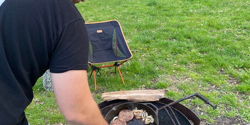
Horse enthusiasts and primitive campers will find Shirley Creek Campground tucked into the Hoosier National Forest near West Baden Springs. This US Forest Service facility offers spaced-out campsites with fire rings and picnic tables, though some amenities may be missing at individual sites. A vault toilet provides basic facilities, but no potable water is available during colder months.
The campground sits in a lower elevation area prone to flooding during wet conditions. Access requires a lengthy drive on gravel roads through hilly terrain, which can become challenging when muddy. Campers share the area with equestrian users, and the facility connects to hiking trails suitable for families. Pack all water and be prepared to clean fire rings, as maintenance can be inconsistent at this free camping area.
Description
Overview
Shirley Creek is a primitive campground. There is no use fee at this site.
Recreation
Shirley Creek Campground offers access to the Shirley Creek Trail system for horseback riding, mountain bike riding, and hiking
Facilities
A primitive campground, vault toilets, picnic tables, and hitching racks are available; Water may is seasonally available for livestock (not potable for humans) but bringing water is recommended.
Natural Features
A variety of terrain, scenic hardwoods, and shady trails.
Fee Info
All sites are free of charge.
RV Road Trip Guides


Map & DirectionsShirley Creek Campground is located in Indiana near West Baden Springs
Coordinates
38.649605 N
86.598392 W
Connectivity
 T-MobileNo Coverage
- VerizonNo Coverage
- AT&TNo Coverage
Connectivity
- T-MobileNo Coverage
- VerizonNo Coverage
- AT&TNo Coverage
Access
- Drive-InPark next to your site
- Walk-InPark in a lot, walk to your site.
- Hike-InBackcountry sites.
Site Types
- Tent Sites
- RV Sites
- Standard (Tent/RV)
Features
Drive Time
- 50 min from Bloomington, IN
- 1 hr 25 min from Louisville, KY
- 1 hr 35 min from Columbus, IN
- 1 hr 36 min from Owensboro, KY

