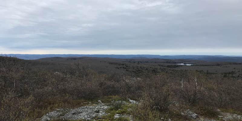
Where the Appalachian Trail crosses Mount Everett State Reservation, Laurel Ridge requires a multi-mile hike through some of the steepest terrain in southwestern Massachusetts. This backcountry site sits along the ridgeline with camping platforms and space for hammocks, plus an outhouse and bear box that requires campers to bring their own padlock.
The hike involves significant elevation gain through challenging sections of the AT, with access points including Race Brook Falls trailhead off Route 41. Fires are prohibited according to recent visitor reports. Campers should prepare for temperatures that can drop into the 40s at night even during warmer months. The site works best for experienced backpackers comfortable with steep terrain and primitive conditions.
RV Road Trip Guides


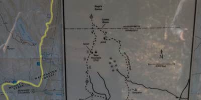
Map & DirectionsLaurel Ridge is located in Massachusetts near Taconic
Coordinates
42.05431198 N
73.44013397 W
Connectivity
 T-MobileNo Coverage
 VerizonLTESome Coverage
- AT&TLTESome CoverageVerified by 2 users
Connectivity
- T-MobileNo Coverage
- VerizonLTESome Coverage
- AT&TLTESome CoverageVerified by 2 users
Access
- Hike-InBackcountry sites.
Site Types
- Tent Sites
Features
For Campers
- Picnic Table
- Pets
Drive Time
- 44 min from Pittsfield, MA
- 1 hr 1 min from Kingston, NY
- 1 hr 2 min from Waterbury, CT
- 1 hr 14 min from Hartford, CT


