SUMMARY PRESENTED BY
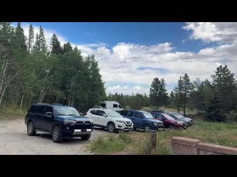
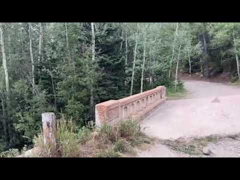
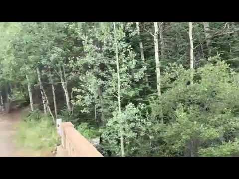
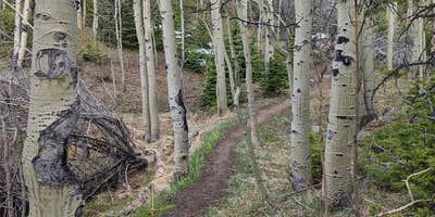
James Creek offers dispersed camping near the foothills of the Rocky Mountains in Colorado. The area experiences temperatures ranging from 20°F in winter to 85°F in summer. Nearby attractions include the scenic Peak to Peak Highway and the trails of Roosevelt National Forest.
RV Road Trip Guides


Map & DirectionsJames Creek is located in Colorado near Ward
Coordinates
40.08913884 N
105.4964777 W
Connectivity
 T-MobileNo Coverage
- VerizonNo CoverageVerified by 2 usersLast on 7/3/26
 AT&TLTESome CoverageVerified by 3 usersLast on 7/28/26
Connectivity
- T-MobileNo Coverage
- VerizonNo CoverageVerified by 2 usersLast on 7/3/26
- AT&TLTESome CoverageVerified by 3 usersLast on 7/28/26
Access
- Walk-InPark in a lot, walk to your site.
- Hike-InBackcountry sites.
Site Types
- Tent Sites
- Dispersed
Features
For Campers
- Alcohol
- Pets
- Fires
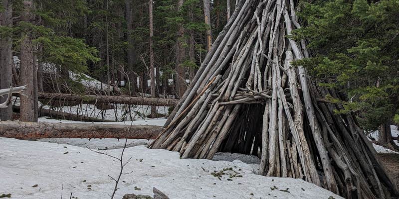
DISPERSED CAMPING
Enjoy dispersed camping on government land and leave no trace. Pack in and pack out. No (or limited) services at this camping area. Permit may be required.
PERMIT might be REQUIRED
We curate permit requirements across the US for our PRO members. Try PRO to see if James Creek needs a permit.
Drive Time
- 36 min from Boulder, CO
- 1 hr 4 min from Denver, CO
- 1 hr 12 min from Fort Collins, CO
- 1 hr 13 min from Greeley, CO