Public Campground
Fulford Cave
Fulford Cave is located near the mountainous terrain of Colorado, offering a rugged landscape for campers. Temperatures can range from lows in the 30s Fahrenheit during cooler months to highs in the 70s during warmer seasons. Nearby attractions include the Fulford Cave itself and Sylvan Lake State Park, providing opportunities for exploration and outdoor activities.
Description
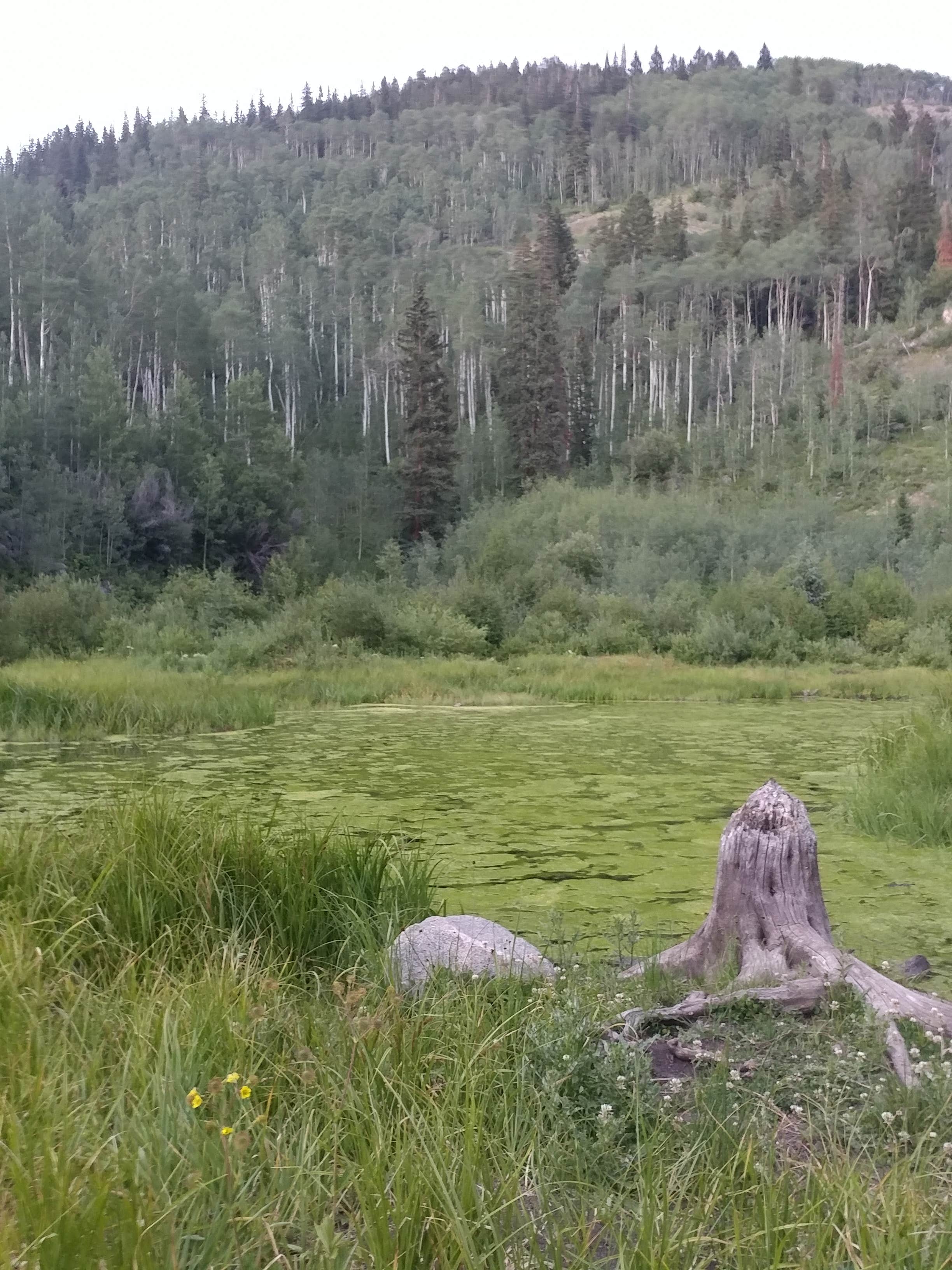
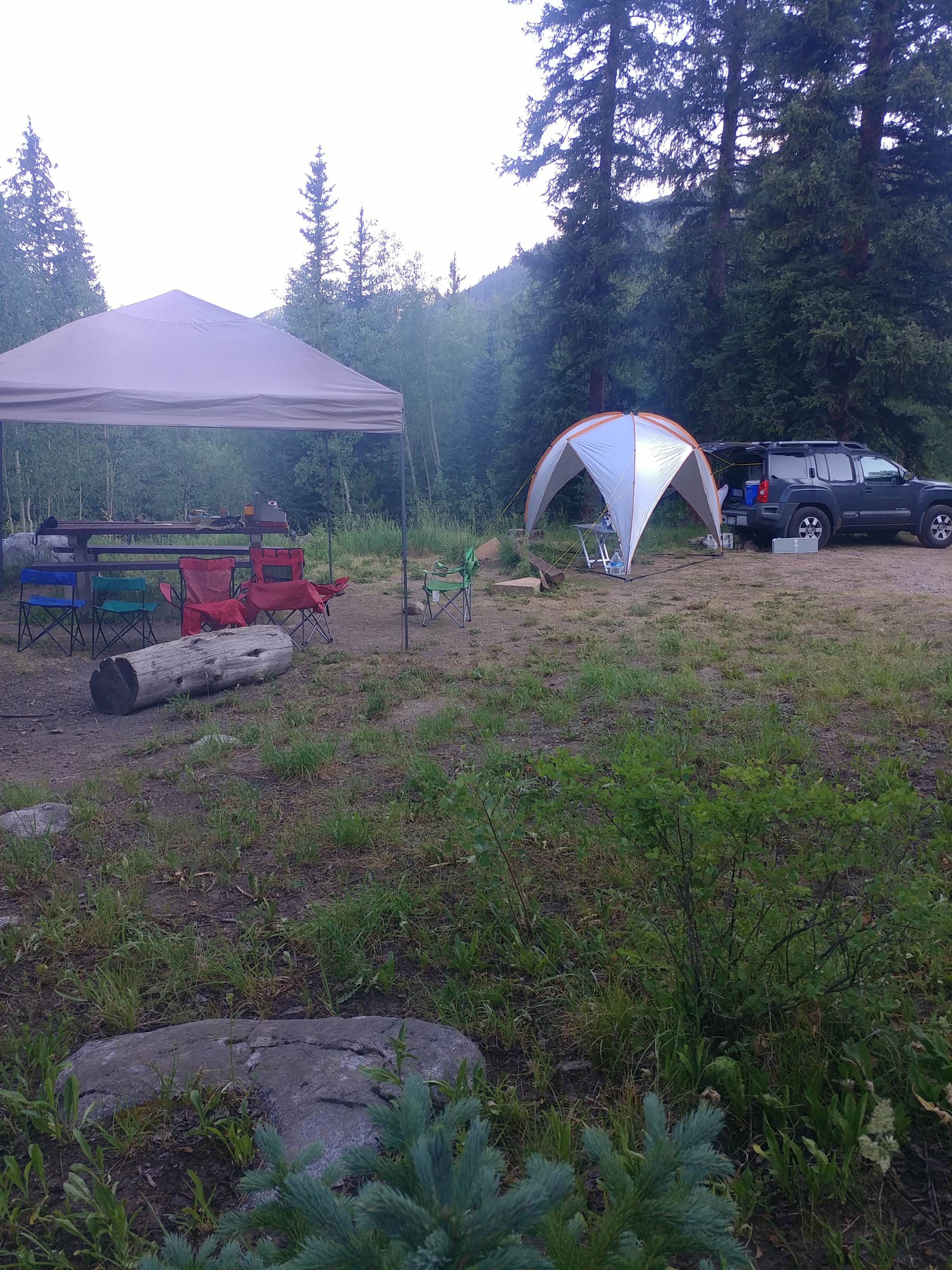
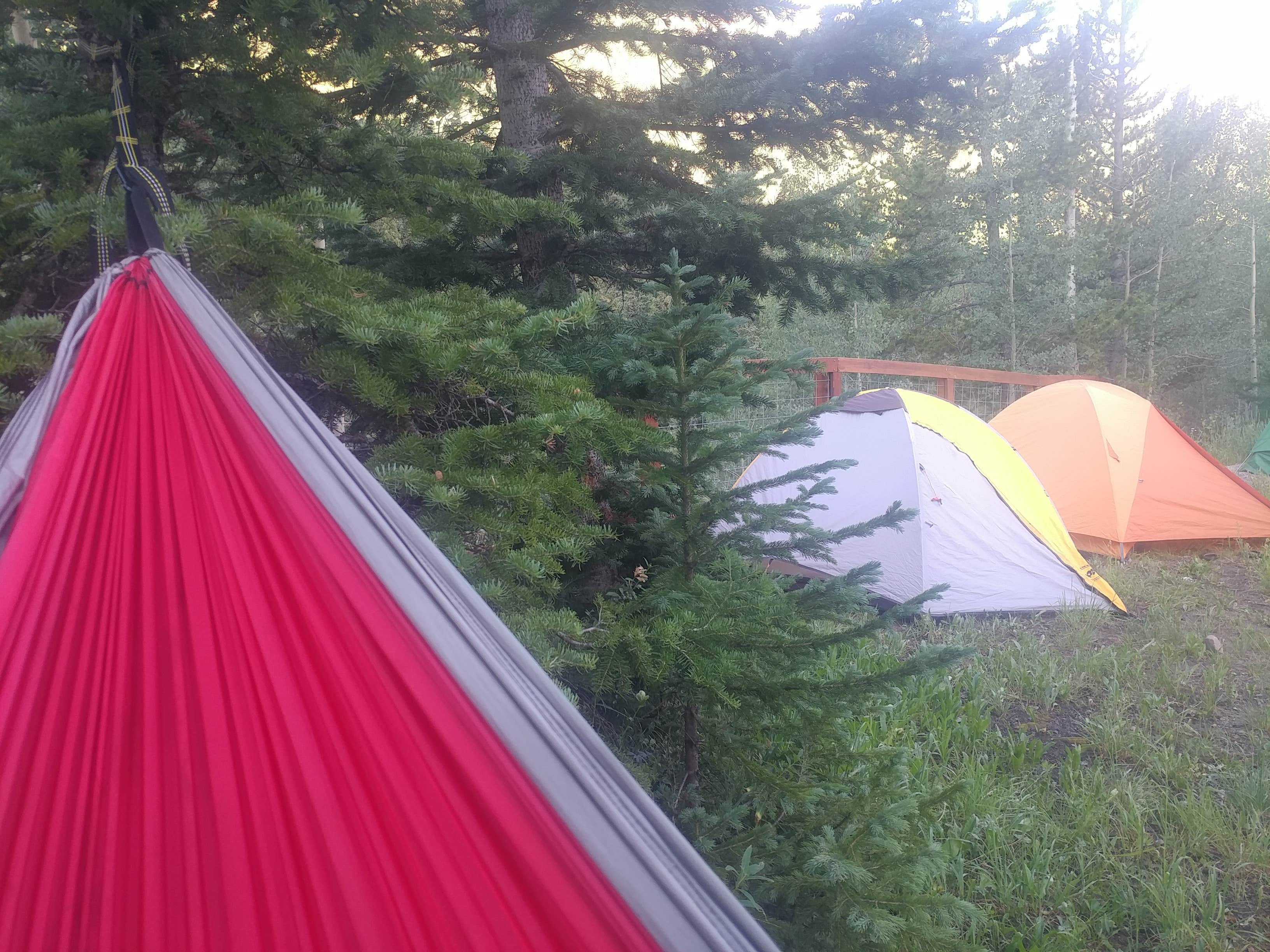
**FOOD STORAGE ORDER__is in effect at__all developed campgrounds__on the Eagle/Holy Cross Ranger District, and the Piney Guard Station, Tigiwon Lodge, Mount of the Holy Cross Overlook, Homestake Road FSR 703, and Nolan Creek Road.__This order requires__all food and refuse to be stored in hard-sided vehicles, approved bear-resistant containers, or supended at least 10 feet clear of the ground at all points and four feet horizontally from any supporting tree or pole. This order has been issued to provide for public safety and wildlife conservation. Hopefully it will reduce wildlife habituation problems.***Fulford Cave is closed from October 15 - April 15 annually. Some caves, including Fulford Cave, have been reopened with several requirements including mandatory on-line registration &__decontamination of gear and clothes. View__caving rules***Fulford Cave Campground is located in a sparse stand of young aspen, spruce and fir, near an active beaver pond and East Brush Creek. From this high location, there are nice views of Yeoman Park below. The cave is less than 1 mile from the campground, and other area trails enter the Holy Cross Wilderness. This campground has small sites, clustered together and only one site could accommodate a vehicle up to 25 feet long.There is a printable Recreation Quicksheet for this campground which is complete with a CAMPGROUND MAP, directions, details, and other information.
Location
Fulford Cave is located in Colorado
Directions
From Eagle, CO follow the Brush Creek Road 10 miles south of Eagle; turn left on the East Brush Creek, FDR 415 and drive 7 miles southeast. The last mile on FDR 415 to the campground is a narrow and rough rocky road.From Vail, CO travel west on I-70 to Eagle (exit #147). Turn left and drive into Eagle. Turn left on Capitol Street and follow to Brush Creek Road. Turn left and follow Brush Creek Road 10 miles south of Eagle; turn left on the East Brush Creek, FDR 415 and drive 7 miles southeast. The last mile on FDR 415 to the campground is a narrow and rough rocky road.From\_\_Beaver Creek, CO travel west on I-70 to Eagle (exit #147). Turn left and drive into Eagle. Turn left on Capitol Street and follow to Brush Creek Road. Turn left and follow Brush Creek Road 10 miles south of Eagle; turn left on the East Brush Creek, FDR 415 and drive 7 miles southeast. The last mile on FDR 415 to the campground is a narrow and rough rocky road.
Coordinates
39.49194444 N
106.6588889 W
Connectivity
- T-MobileNo Coverage
- VerizonNo Coverage
- AT&TNo Coverage
Connectivity
- T-MobileNo Coverage
- VerizonNo Coverage
- AT&TNo Coverage
Access
- Drive-InPark next to your site
Site Types
- Tent Sites
- RV Sites
- Group
Features
For Campers
- Toilets
- Alcohol
Drive Time
- 2 hrs 30 min from Grand Junction, CO
- 2 hrs 50 min from Denver, CO
- 3 hrs from Boulder, CO
- 3 hrs 38 min from Colorado Springs, CO


