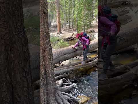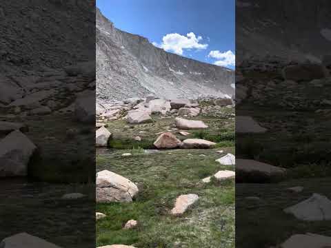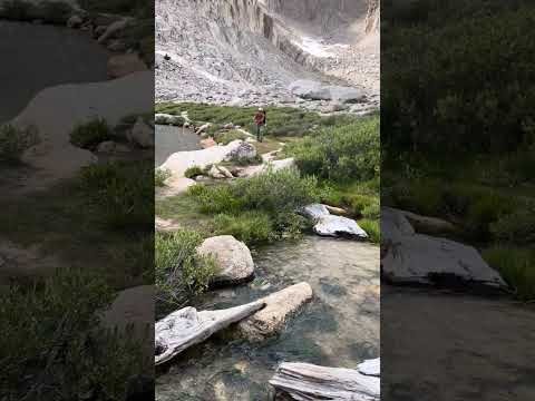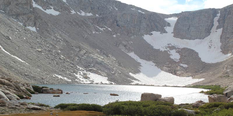
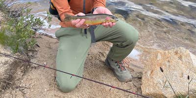
Inyo National Forest's Cottonwood Lakes backcountry campsite sits above 10,000 feet elevation, reached by a roughly 6.5-mile hike that takes most parties around three hours at a moderate pace. No pets are permitted, and an overnight permit from recreation.gov is required in advance. Ground near Lake 5 runs relatively flat and soft rather than rocky, and the lakes themselves serve as a water source, though treatment is necessary before drinking. Anglers have caught Golden Trout at Lakes 3 and 5. A bear canister is required for all food, toiletries, and trash. Campers who prefer a drive-in option can consider the Inyo National Forest Cottonwood Lakes Trailhead Campground a few miles southeast, among the places to camp around Inyo National Forest.
Description
Located near Horseshoe Meadows, the Cottonwood Lakes Basin has many pristine alpine lakes and creeks located between Mount Langley and Cirque Peak. Side trails branch to Muir Lake, Hidden Lake, South Fork Lakes, Cirque Lake. Along the trail to New Army Pass are Long Lake and High Lake in the John Muir Wilderness. Climbing over New Army Pass the trail continues into Sequoia National Park and eventually joins the Pacific Crest Trail.
The Cottonwood Lakes are home to California's state fish, the Golden Trout (Oncorhynchus mykiss aguabonita).
Common Destinations: Cottonwood Lakes basin, New Army Pass, John Muir Trail, Mount Langley
Download area map for trail names https://www.fs.usda.gov/Internet/FSE_DOCUMENTS/stelprdb5337644.pdf
Wilderness Permit Information (760) 873-2483
Historically, there has been a high level of bear activity in the Cottonwood Lakes area. From Memorial Day weekend through October 31, all food, trash and scented items must be stored in bear-proof containers.
At the trailhead, all food, trash and scented items must be removed from vehicles and stored in the bear proof lockers that are located in parking areas. Dispose of trash in bear proof trash receptacles.
For more information about traveling in bear bear country, click here...https://www.fs.usda.gov/detail/inyo/recreation/?cid=fsbdev3_003846
RV Road Trip Guides

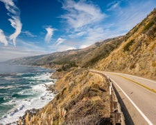
Map & DirectionsCottonwood Lakes Backcountry Campsite is located in California near Alabama Hills
 Public Campground
Coordinates
36.48836312729586 N
118.21427918486262 W
Connectivity
 T-MobileNo Coverage
- VerizonNo Coverage
- AT&TNo Coverage
Connectivity
- T-MobileNo Coverage
- VerizonNo Coverage
- AT&TNo Coverage
Access
- Walk-InPark in a lot, walk to your site.
- Hike-InBackcountry sites.
Site Types
- Tent Sites
- Group
Features
For Campers
- Reservable
- Drinking Water
Drive Time
- 3 hrs 34 min from Bakersfield, CA
- 4 hrs 36 min from Visalia, CA
- 4 hrs 44 min from Hanford, CA
- 5 hrs 6 min from Fresno, CA