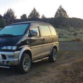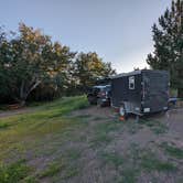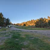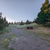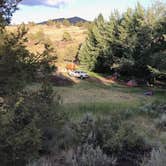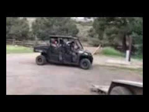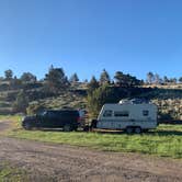
OHV riders and hunters passing along US-395 have long used Ramhorn Springs as a staging point, and the campground's proximity to nearby trails makes it a practical base for off-highway riding in the area. The access road runs about 2-3 miles off the highway, and while the first 30 feet off 395 are the roughest stretch, the road smooths out considerably after the cattle guard. Most campers report the gravel surface is manageable even for compact cars and smaller trailers.
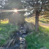
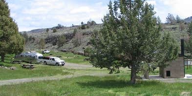
Sites include concrete picnic tables, fire rings, and game cleaning stations, reflecting the campground's popularity with hunters during season. Cottonwood and willow trees line a small creek that runs through the property, and rock formations with juniper trees give the terrain a distinctly high-desert character. Verizon users report spotty coverage; AT&T has little to no reception. No pets are allowed.
Crowding is worth factoring into trip planning. The campground is small, and fire-break contractors have been known to use it as a home base during summer months, which can push it toward capacity. Dani P. notes it has "easy access to OHV trails nearby," which draws additional visitors on weekends. Campers looking for alternative stops along this corridor can also consider Secret Valley Safety Roadside Rest Area — US-395 to the south, or Dodge Reservoir Campground to the north. Ramhorn Springs is free and open year-round, but arriving mid-week gives the best chance of securing a site with room to spare.
Description
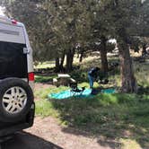
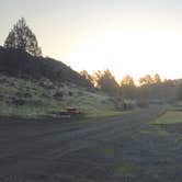
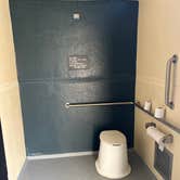
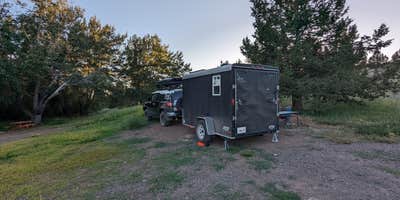
Ramhorn Springs is a small water source located in a high desert setting that has been utilized by travelers and ranchers for many years. A 10 unit campground has been constructed adjacent to it. The facilities include an informational kiosk, picnic tables, fire rings, trash cans, a horse corral and one vault toilet.The surface in the campground is packed earth and gravel. There is no potable water. There is no fee for the use of the campground but a donation is requested to assist with the routine maintenance costs. There is not much shade in the campground, therefore the most enjoyable time to visit this campground is during the cooler months of the year. Campground is open all year, however, access is limited during wet weather. See more photos of the Ramhorn Springs Campground.
RV Road Trip Guides


Map & DirectionsRamhorn Springs Campground is located in California near Litchfield
 Public Campground
Directions
From Susanville: Travel north on U. S. Highway 395 approximately 45 miles. The access road is approximately 2.4 miles north of the California Department of Transportation Roadside Rest Area. Turn east (right) onto BLM Road 26000. Travel approximately 2.5 miles. The campground will be adjacent to the road on your left. BLM Road 26000 is an unimproved dirt road that can become impassable as a result of wet weather. The road is passable by vehicles pulling trailers but can be rough and dusty.
Address
Bureau of Land Management
Eagle Lake Field Office
2550 Riverside Drive
Susanville, CA 96130
Coordinates
40.708829 N
120.254833 W
Connectivity
 T-Mobile5GGood Coverage
 VerizonLTESome Coverage
 AT&T5GExcellent Coverage
Connectivity
- T-Mobile5GGood Coverage
- VerizonLTESome Coverage
- AT&T5GExcellent Coverage
Access
- Drive-InPark next to your site
Site Types
- Tent Sites
- RV Sites
Features
For Campers
- Trash
- Phone Service
- Toilets
- Alcohol
For Vehicles
- Big Rig Friendly