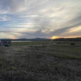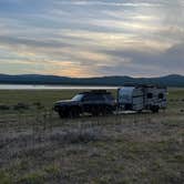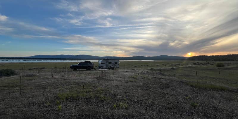
Rocky Point West sits within Lassen National Forest near Eagle Lake, reached by a narrow gravel and sand road with at least one sharp, steep curve at the entrance. The terrain near the water is relatively flat. Rigs longer than 19 feet will have serious trouble navigating the turn and finding space to reverse, and the road ends without warning, requiring campers to turn around on grass and rock. No cell service is available. Mosquitoes are notably heavy, especially at dusk. Campers who can handle the access and bring serious insect protection will find tent sites near Lassen National Forest in the surrounding forest if this spot fills or doesn't suit. Rocky Point East sits just over a mile away for a comparable alternative.
Description
Rocky Point West is located at Eagle Lake outside of Susanville, Ca. This is a small undeveloped campground on the west shore of Rocky Point. The site is best suited for self-contained camping. There is no potable water or trash removal available but a vault toilet is provided. There is no fee for the use of the campground but a donation is requested to assist with the routine maintenance costs. The surface in the campground is packed earth, gravel or sand. It is possible to launch small boats along the shoreline in the campground area. .Click the links below for more information on the BLM and Forest Service Eagle Lake and nearby campgrounds at Eagle Lake. North Eagle Lake Campground Rocky Point East Campground Eagle Lake The Lassen National Forest, Eagle Lake Ranger District manages southwestern end of the lake which includes the Christi, Merrill, Aspen and Eagle campgrounds located off of Eagle Lake County Road. The Eagle Lake Marina includes a small store, restrooms, showers, and fish cleaning station. Gallatin Beach is a popular place to swim by the shore. Visitors can contact the Eagle Lake Ranger District Monday-Friday at 530-257-4188. For information visit: Lassen National Forest Campgrounds Eagle Lake Campgrounds & Marina
RV Road Trip Guides


Map & DirectionsRocky Point West is located in California near Susanville
 Public Campground
Directions
Take highway 139 to A1 to access Rocky Point West. From Susanville travel north on Highway 139 for 30 miles. Turn west (left) on County Road A-1 and travel about 10 miles. Turn south (left) at the bottom of a mile long downgrade. The town of Spalding should be visible across the bay as you come down the grade. As you leave the highway the pavement ends. A kiosk should be visible when the dirt road begins.
Coordinates
40.68842076 N
120.7604004 W
Connectivity
 T-Mobile5GGood Coverage
 VerizonLTESome Coverage
 AT&TNo Coverage
Connectivity
- T-Mobile5GGood Coverage
- VerizonLTESome Coverage
- AT&TNo Coverage
Access
Site Types
- Tent Sites