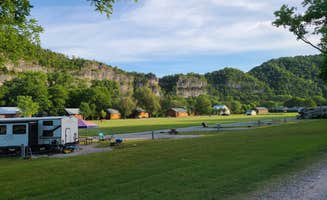
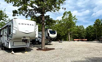
RV parks around Leslie, Arkansas provide diverse accommodation options in the Ozark Mountain region at elevations between 800-1,500 feet. The area experiences four distinct seasons with mild winters and moderately humid summers. During peak times (April-October), weekend campsite availability can be limited at the most popular locations.
What to do
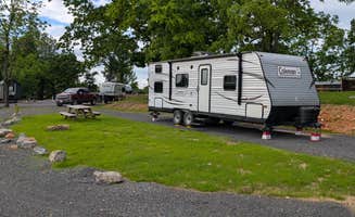
River recreation: Gilbert RV Park sits directly on the Buffalo River, making it easy to enjoy water activities. "We got all setup and enjoyed our time around Gilbert. The quiet little town with some live music occasionally. Probably just a little over a quarter mile walk to the river or drive down to gravel bed where you can park. Take all your stuff and play in the river all day," notes reviewer Dustin D.B.
Folk music venues: Whitewater RV Park in Mountain View puts you within walking distance of traditional music. "The town square is only 1/4 mile away. A nice park for walking is next door," writes Wolfgang M. The area is known for Ozark mountain music performances throughout the warmer months.
Local attractions: Explore the Ozark Folk Center State Park from nearby campgrounds. "This is a nice RV park situated perfectly near the downtown Mountain View Area and the Ozark Folk Center State Park," mentions a reviewer about Whitewater RV Park. Many campsites serve as convenient bases for exploring the cultural attractions.
What campers like
Affordability: Green Acres RV Park offers reasonable rates that campers appreciate. A reviewer notes, "What you will find is laid back friendly owners and pricing from the 70's or 80's. Offer full hook ups weekly monthly rates. Stay six nights get seventh free."
Clean facilities: Many campgrounds maintain well-kept bathrooms and shower areas. At Harrison RV Park & Campground, "Bath house are clean" according to Mike B., while another reviewer adds, "They guide you to your site and make sure you are all set. Couldn't ask for better service."
Riverside locations: Proximity to water is a major draw. At Gilbert RV Park, Kala V. confirms, "When they advertise a stones throw from the Buffalo river, they mean it. The campground is small and a bit sparse, but the location to the river is unbeatable."
What you should know
Seasonal operations: Several RV parks near Leslie have limited availability during winter months. Mountain View RV Park and Guest Motel operates from "March 1 to December 1" according to their listing information, while Whitewater RV Park runs from "March 15 to 1st week November."
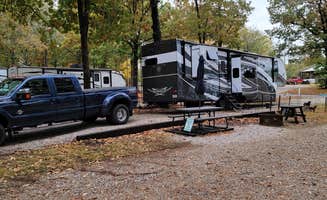
Site leveling challenges: Some parks require extra equipment for proper leveling. At Blue Sky RV Park, a camper reports, "Hard to level. We were unable to use auto level and had to manually level. The front jacks were hardly down at all and the back jacks will all the way down."
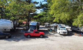
Noise considerations: Highway proximity affects some campgrounds. A reviewer at Harrison RV Park notes, "close to the highway but there isn't alot of noise," while another mentions it has "A bit of road noise, which comes with the convenience."
Tips for camping with families
Gathering spaces: Blue Sky RV Park offers family-friendly common areas. "This place is so much bigger than it looks. Great pull through sites. Great sites for family camping... Blue Sky even has event space that you can rent if you are staying in the park," writes one reviewer.
Entertainment options: The area offers unique family activities beyond standard campground amenities. As one reviewer notes, "Mountain View has a movie theater and one of the few drive in theaters left in the USA. First run movies will be found at both."
Recreation facilities: Fairfield Bay RV Campground & Marina provides lake access for family adventures. "The marina has a very nice, well stocked shop with a little cafe around the corner. I remember one of my favorite things when I went there as a child was when they'd give me a bag of fish food to throw to the massive catfish off the dock," recalls Charly S.
Tips from RVers
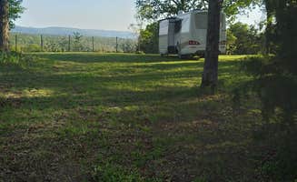
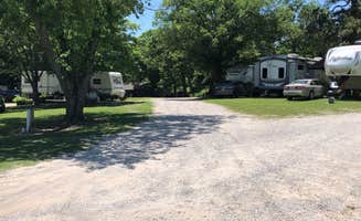
Site spacing: Into the Woods RV Park receives praise for generous site dimensions. "Amazing little campground, spaces are very well spaced. 30-50 feet between Rv sites," notes Brandeninto W. This provides more privacy than many RV parks near Leslie, Arkansas.
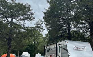
Tree management: Many parks maintain their trees to prevent damage to taller RVs. At Blue Sky RV Park, a reviewer mentions, "Lots of tall trees that are well trimmed above RV's," while another confirms, "Well shaded and all tree limbs are high enough to not hit our unit."
Extended stay options: Monthly rates are available at several parks for longer RV camping trips. According to reviews, many parks offer weekly and monthly discounts, with some providing a free night when staying six nights.