Public Campground
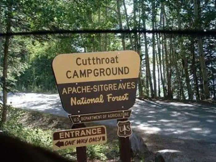
Cutthroat
Cutthroat Campground is located in the Apache-Sitgreaves National Forest, featuring forested terrain with a mix of trees and open spaces. Temperatures in this area range from lows in the 30s Fahrenheit during winter to highs in the 80s during summer. Nearby attractions include the scenic views of the Mogollon Rim and opportunities for hiking and fishing at nearby lakes and rivers.
Description
Overview
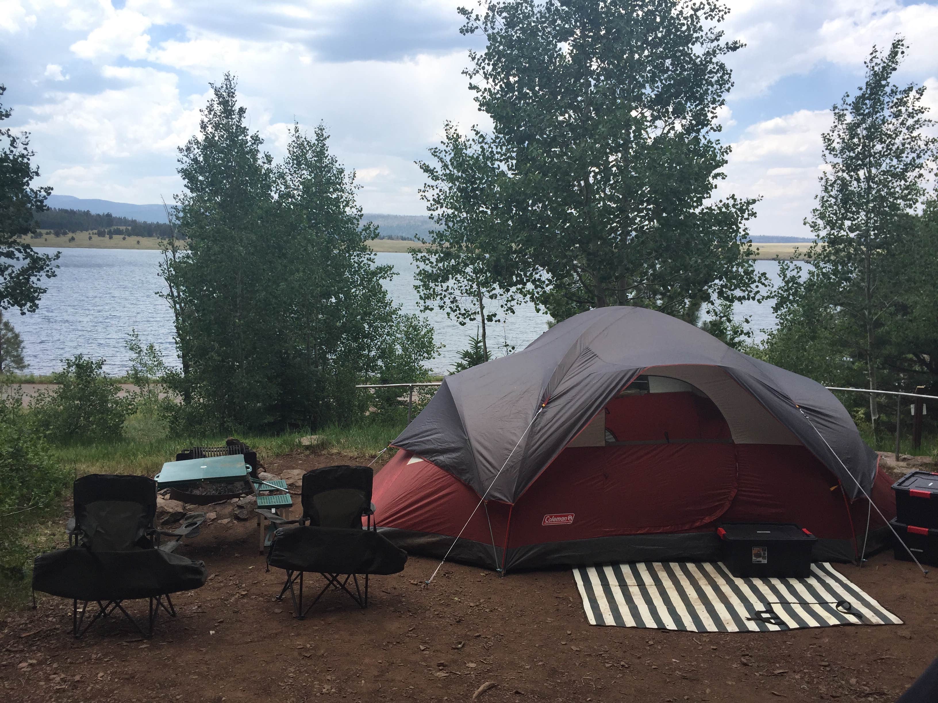
Cutthroat Campground lies at an elevation of 9,000 feet in the White Mountains of eastern Arizona. It sits on the shoreline of Big Lake and affords visitors many recreational opportunities in a quiet, scenic setting. Popular activities include trout fishing and hiking.
Recreation
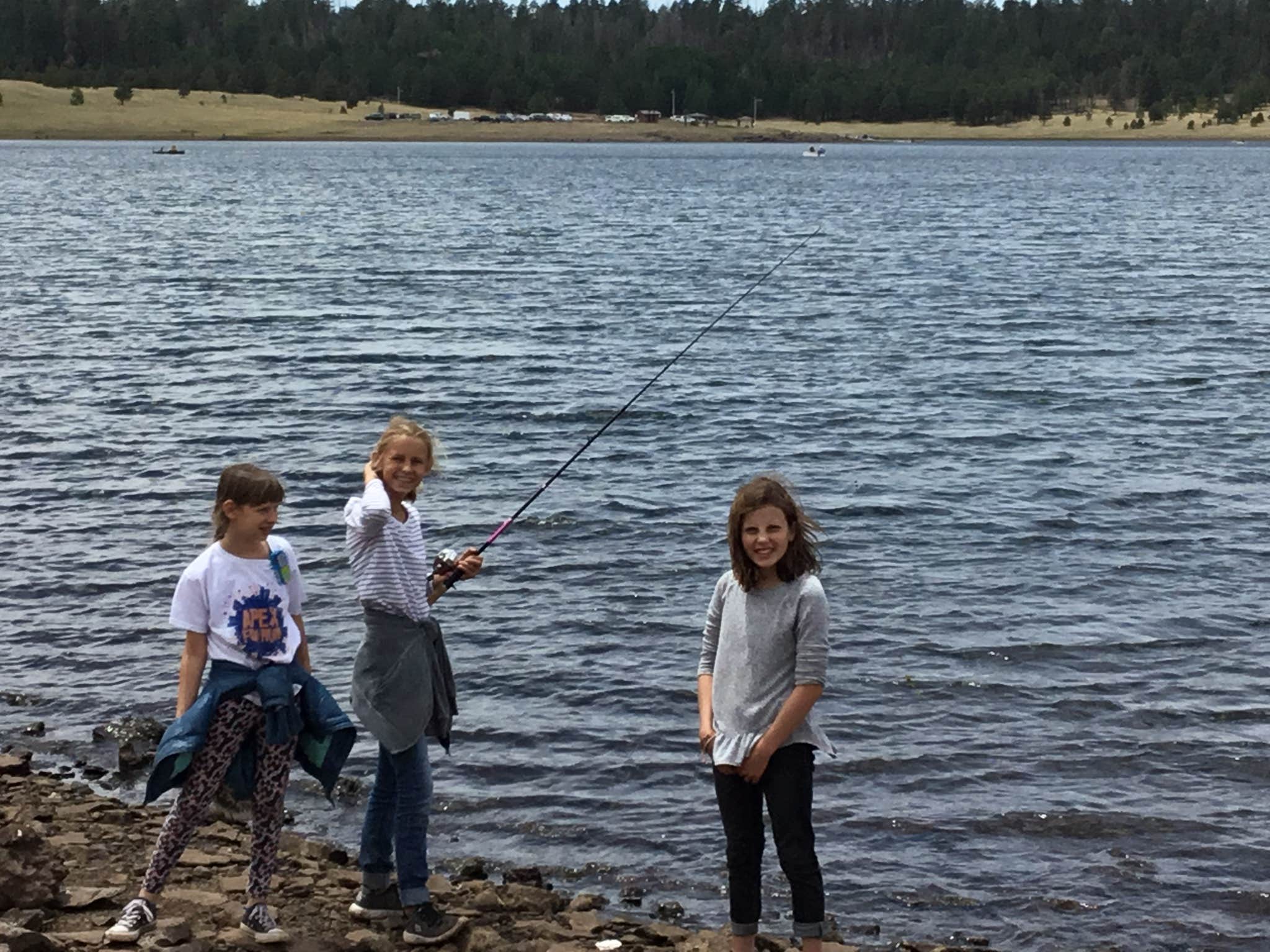
Named after a species of trout, Cutthroat is adjacent to 450-acre Big Lake, one of Arizona's top fishing lakes. The lake is known for its trout fishing, with rainbow, cutthroat, brook and Apache being the most sought-after species. The recreation area is also popular for hiking, mountain biking, birding and wildlife viewing.
Facilities
Sites for tent camping only are scattered throughout this small facility and spaced a good distance apart. Some are directly on the waterfront. The basic amenities of restrooms, picnic tables and drinking water are provided, and anglers and boaters have the convenience of a boat ramp. An RV dump station is one mile away.
Natural Features
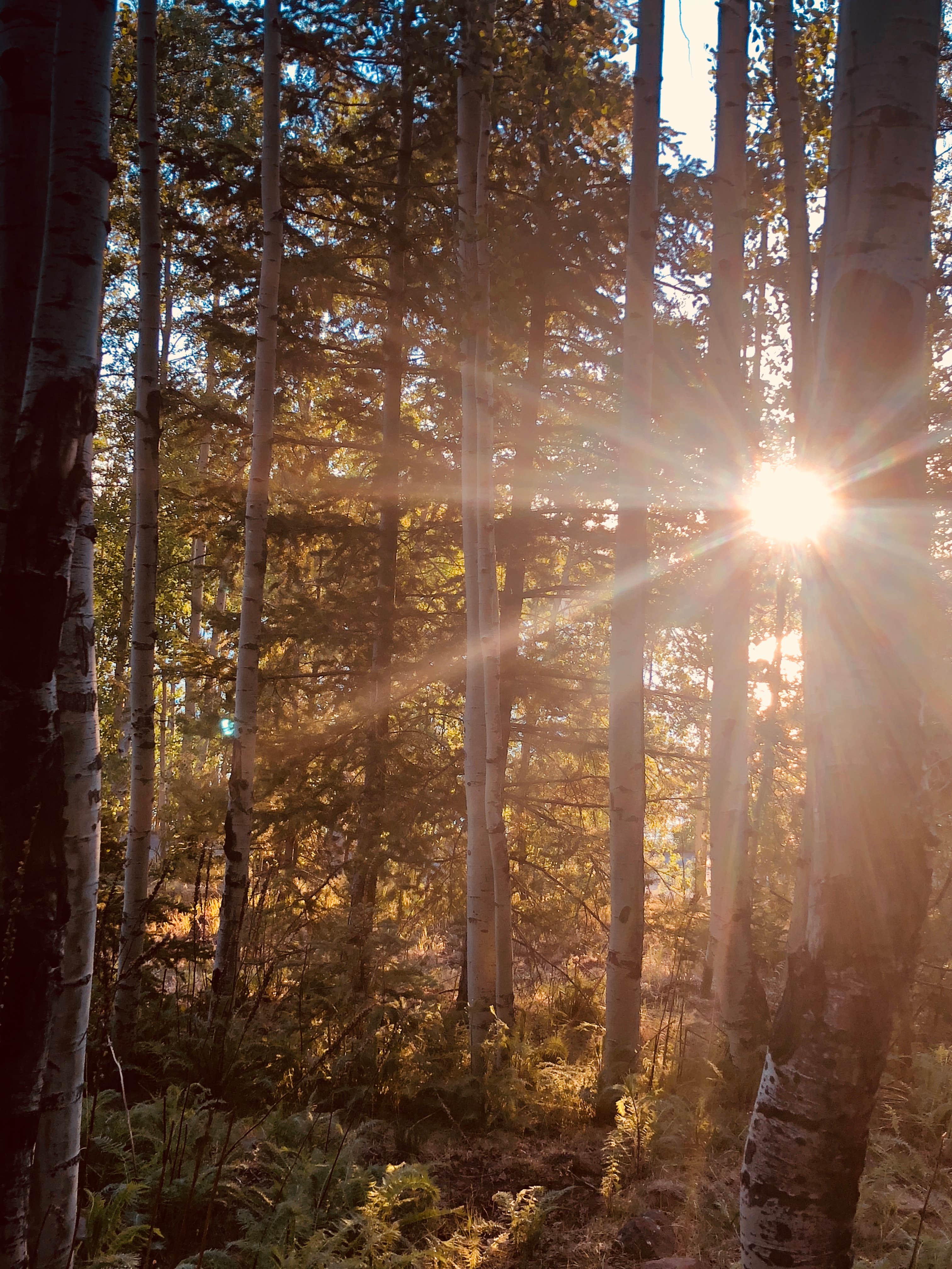
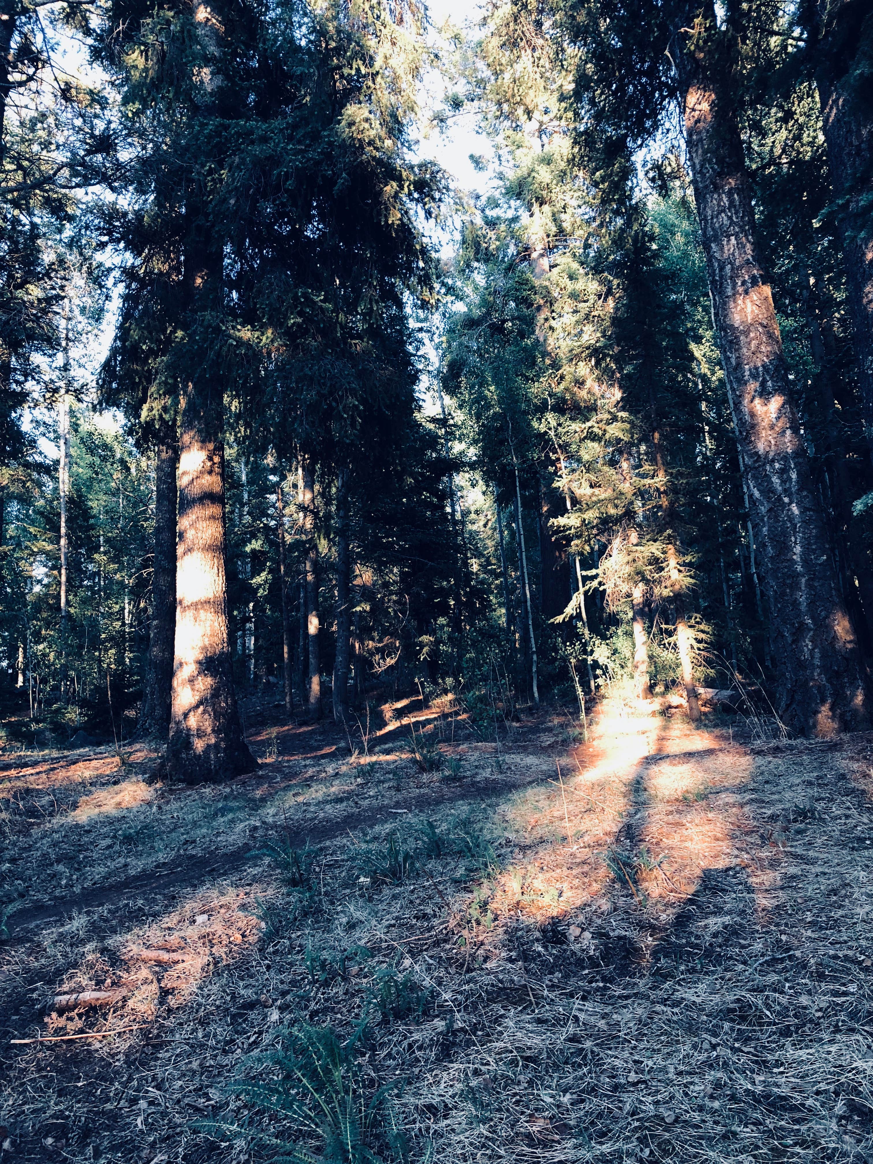
The campground is located in a very scenic area, forested with ponderosa pine, spruce, Douglas fir, and aspen trees, which provide ample shade. Summer temperatures are pleasant and cool, a nice respite from the heat of lower deserts. Visitors should come prepared for cool nighttime temperatures and occasional summer rain storms.
Contact Info
For facility specific information, please call (928) 537-8888.
Nearby Attractions
Visitors can explore endless vistas and take part in many outdoor activities in the surrounding Apache-Sitgreaves National Forest, which encompasses 2 million acres of magnificent mountain country in east-central Arizona and New Mexico.
Location
Cutthroat is located in Arizona
Directions
From Pinetop, Arizona, take Highway 260 east 25 miles to Highway 273 south. Follow Highway 273 south 19 miles to Forest Road 8115 (Big Lake Entrance). Turn right and travel 2 miles to Cutthroat Campground.
Address
APACHE-SITGREAVES
AZ
Coordinates
33.8722222 N
109.4183333 W
Connectivity
- T-MobileNo Coverage
- VerizonNo CoverageVerified by 1 userLast on 1/16/26
- AT&TNo Coverage
Connectivity
- T-MobileNo Coverage
- VerizonNo CoverageVerified by 1 userLast on 1/16/26
- AT&TNo Coverage
Access
- Drive-InPark next to your site
Site Types
- Tent Sites
Features
For Campers
- Market
- Trash
- Firewood Available
- Reservable
- Drinking Water
- Toilets
- Alcohol
- Pets
For Vehicles
- Sanitary Dump
Drive Time
- 3 hrs 32 min from Flagstaff, AZ
- 4 hrs 32 min from Phoenix, AZ
- 4 hrs 56 min from Tucson, AZ
- 4 hrs 58 min from Sierra Vista, AZ

