Description
Overview
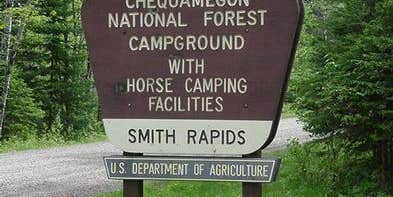
Smith Rapids Campground is located on the South Fork of the Flambeau River. It is an ideal location for hiking, river fishing and canoeing.
Recreation
The fast-flowing South Fork of the Flambeau River is popular among canoeists. A carry-down boat ramp is available at the campground. The river has walleye, smallmouth bass, redhorse, musky and northern pike. The campground is also in close proximity to the 70-mile Flambeau Trail System, open to off-road vehicles, hiking and mountain biking. The trail is highlighted by rolling terrain, tree-lined corridors, a wooden bridge and vistas overlooking various bogs and lakes. It is a popular snowmobiling location during winter months. Off-road vehicles are not permitted to operate in Smith Rapids Campground.
Facilities
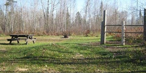
The campground offers single-family sites for tent and RV camping. Several of the sites have extra long parking spurs. Tables and campfire rings are provided, as are vault toilets and drinking water.
Natural Features
At an elevation of about 1,500 feet, the campground provides shady, wooded sites. Smith Rapids is located on the South Fork of the Flambeau River, with a scenic view of Smith Rapids Covered Bridge. Constructed in 1991, the bridge is the only glue-laminated town lattice covered bridge in Wisconsin.
Nearby Attractions
Park Falls, Wisconsin is approximately 17 miles from the campground and is a full service community.
Location
Public CampgroundSmith Rapids Campground - CLOSED 2021 is located in Wisconsin
Directions
From Fifield, travel east on State Highway 70 for a little more than 12 miles and turn left (north) onto Forest Service Road 148. Continue for 2 miles to the campground.
Address
CHEQUAMEGON-NICOLET NATIONAL FOREST
MEDFORD-PARK FALLS RANGER DISTRICT
1170 4TH AVE SOUTH
Park falls, WI 54552
Coordinates
45.9105556 N
90.1738889 W
Connectivity
- T-MobileNo Coverage
- VerizonLTESome Coverage
- AT&TNo Coverage
Connectivity
- T-MobileNo Coverage
- VerizonLTESome Coverage
- AT&TNo Coverage
Access
- Drive-InPark next to your site
- Boat-InSites accessible by watercraft.
Site Types
- Tent Sites
- RV Sites
- Standard (Tent/RV)
- Tent Cabin
- Equestrian
Features
For Campers
- Trash
- Picnic Table
- Drinking Water
- Toilets
- Fires
For Vehicles
- Big Rig Friendly
Drive Time
- 1 hr 29 min from Wausau, WI
- 2 hrs 16 min from Eau Claire, WI
- 2 hrs 28 min from Duluth, MN
- 2 hrs 57 min from Appleton, WI


