Free Camping Collection
Public Campground
Wolf Gap
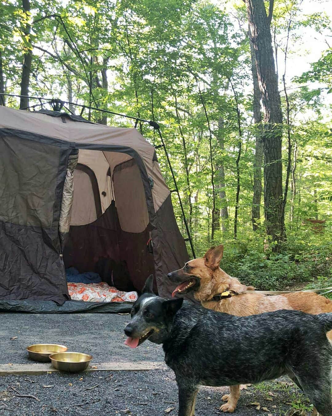
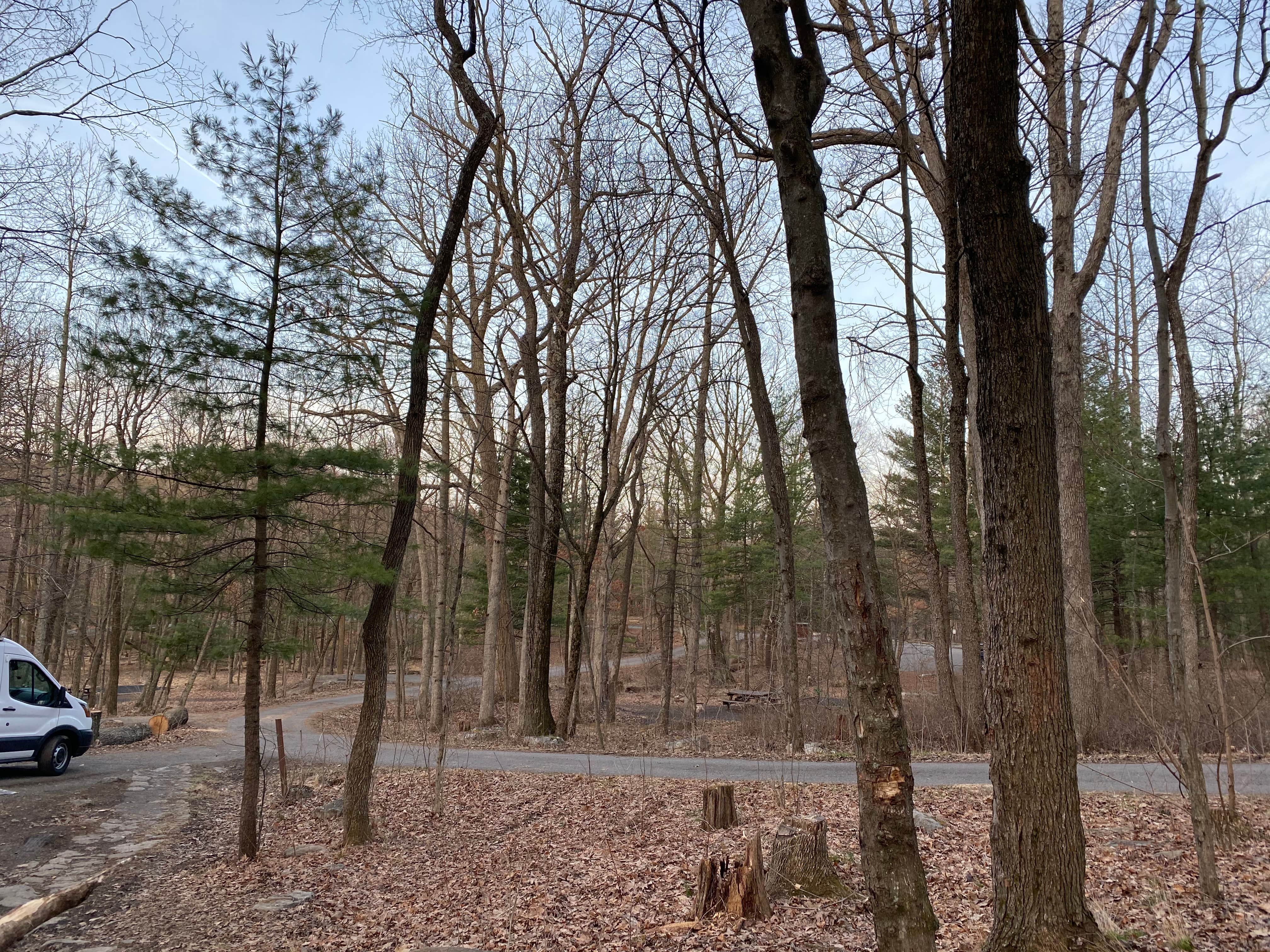
Wolf Gap, near Wardensville, West Virginia, is a serene campground tucked away in the George Washington & Jefferson National Forest. This spot is perfect for those who appreciate a simple, back-to-nature experience without the frills—just you, your tent or RV, and the great outdoors.
The campground offers a peaceful atmosphere with easy access to hiking trails, making it a great base for outdoor adventures. Visitors have enjoyed the privacy of the sites, with many noting the tranquility of the area. One camper shared, “What an amazing beautiful forest... very peaceful, quiet, no complaints.”
Facilities are basic but functional, featuring pit toilets and a spigot for water about a mile away. Campers are encouraged to bring their own supplies, including water, as there are no hookups or showers available. The simplicity of the campground is part of its charm, with one reviewer stating, “If you are self-sustained and just need a lovely place to camp - this is it!”
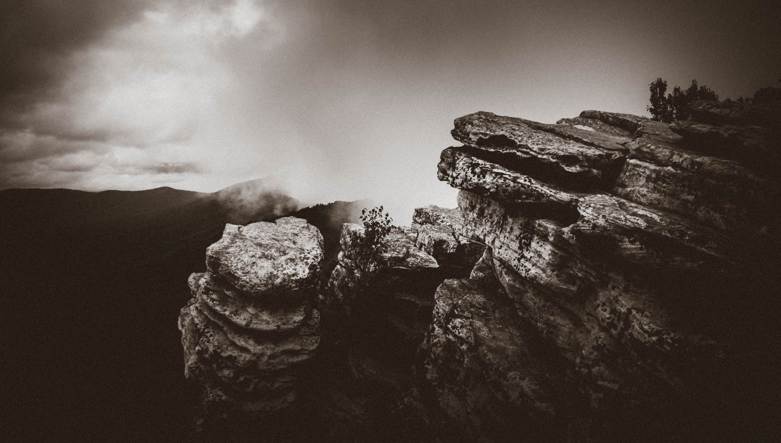
For those looking to explore, the nearby hiking trails offer stunning views, including a trek up Tibbet's Knob. Whether you're here for a weekend or a longer stay, Wolf Gap provides a quiet retreat for those wanting to escape the hustle and bustle of everyday life.
Description
Overview
This location is available on a first-come, first-served basis only. Visitors are required to physically arrive at the campground to purchase and claim a site. Once on-site, you may be able to pay for your campsite(s) by scanning a QR code using the Recreation.gov mobile app, and the Scan and Pay feature. If this option is available, you will need to first download the free Recreation.gov mobile app https://www.recreation.gov/mobile-app prior to your arrival as some remote areas have limited or no cellular service.
Location
Wolf Gap is located in West Virginia
Directions
Directions: From I-81: Take exit 279. Turn west on SR 675. Drive 3.5 miles to STOP sign at VA 42. Turn right, and take next left to continue on SR 675. Drive 3.1 miles to a fork in the road. Stay right, on SR 675, and drive another 3.4 miles to the top of the mountain. The entrance is on your right.
Coordinates
38.924544 N
78.689088 W
Connectivity
- T-MobileNo CoverageVerified by 7 usersLast on 1/24/26
- VerizonNo CoverageVerified by 2 usersLast on 1/24/26
- AT&TLTESome Coverage
Connectivity
- T-MobileNo CoverageVerified by 7 usersLast on 1/24/26
- VerizonNo CoverageVerified by 2 usersLast on 1/24/26
- AT&TLTESome Coverage
Access
- Drive-InPark next to your site
- Walk-InPark in a lot, walk to your site.
Site Types
- Tent Sites
- RV Sites
- Standard (Tent/RV)
Features
For Campers
- Trash
- Phone Service
- Toilets
For Vehicles
- Sanitary Dump
FREE established camping
Enjoy camping on government land. Limited or no services at this camping area.
Drive Time
- 49 min from Winchester, VA
- 51 min from Harrisonburg, VA
- 1 hr 45 min from Charlottesville, VA


