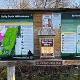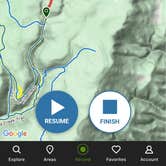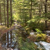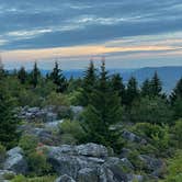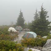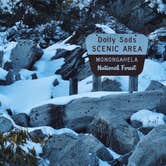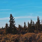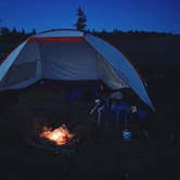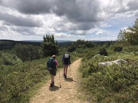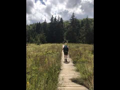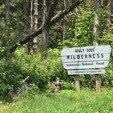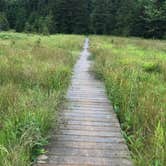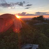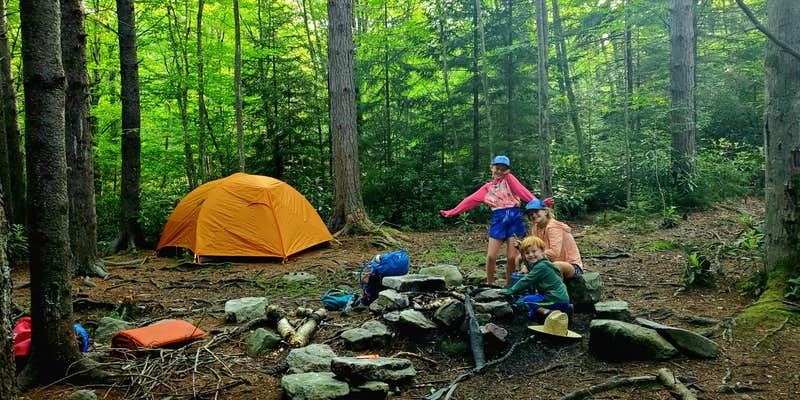
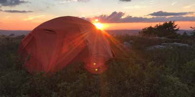
Dolly Sods Wilderness, managed by the US Forest Service within Monongahela National Forest, holds a dispersed backcountry camping area that draws backpackers into one of the more demanding wilderness environments on the East Coast. The terrain shifts between dense forest, open heath meadows, and rocky ridgelines, with conditions that can resemble the Canadian tundra more than central Appalachia. No fees, no reservations, no trail markers. Campers who come here should arrive with a physical map and compass and the skills to use them.
Popular overnight spots cluster along the perimeter loop, including Ravens Ridge, Big Stonecoal Run, and the forks at Red Creek. Sites near Red Creek fill up fast on busy weekends, and the area sees enough foot traffic that LNT practices matter. Dave V. notes that heavy use "has left the woods adjacent to Reds Creek camping sites littered with toilet paper," so dig cat holes and pack out waste properly. During the off-season, it's possible to hike for days without crossing another group.
Water is present but not guaranteed near every campsite, and Ben points out that "finding water near camp is difficult in some areas, but some simple planning negates this." Bears are active here. Bring a canister or hang food properly. Cell service is essentially nonexistent throughout the wilderness.
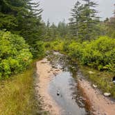
Footwear matters more than most people expect. Trails involve long stretches of sharp, ankle-level rocks, deep mud, and sections that can be nearly submerged in summer. Rain is frequent regardless of season, and temperatures at elevation can swing sharply. Campers staging longer trips sometimes use Red Creek Campground or Dolly Sods Picnic Area as launch points before heading into the backcountry. Both provide trailhead access without requiring a full commitment to dispersed camping from the start.
Dolly Sods rewards preparation. Come with the right gear, a solid navigation plan, and realistic expectations about the terrain, and the wilderness delivers on its reputation.
Description
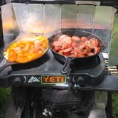
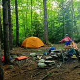
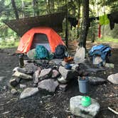
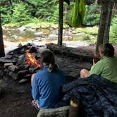
Stay on designated trails. Do not create new trails Camp at existing campsites. These usually have a fire ring and show bare ground around them. If you camp at a place without a fire ring DO NOT create one. Use a backpacker-type stove for your cooking needs and enjoy a night without a campfire.
Map: https://www.fs.usda.gov/Internet/FSE_DOCUMENTS/stelprdb5152038.pdf The 17,371 acre Dolly Sods Wilderness in the Monongahela National Forest is part of the National Wilderness Preservation System. It is located in Grant, Randolph, and Tucker Counties, West Virginia. The Dolly Sods Wilderness contains much of the Red Creek drainage and contains bog and heath eco-types, more commonly typical to southern Canada. Elevations range from 2,500 to over 4,700 feet. For more information, see Dolly Sods Wilderness Brochure, Trail Map, and Expansion Map.
Practice Leave No Trace outdoor ethics: do not build a camp within 200 feet of roads, streams and trails. Dolly Sods Wilderness has 47 miles of trails, many of which follow old railroad grades and logging roads. There are fords on some of the trails that may be a problem to cross during high water events. There may be additional small stream crossings as well.
RV Road Trip Guides

Map & DirectionsDolly Sods Backcountry is located in West Virginia near Red Creek
 Dispersed Camping
Coordinates
39.01967577 N
79.35711597 W
Connectivity
 T-MobileNo Coverage
- VerizonNo Coverage
- AT&TNo Coverage
Connectivity
- T-MobileNo Coverage
- VerizonNo Coverage
- AT&TNo Coverage
Access
- Walk-InPark in a lot, walk to your site.
- Hike-InBackcountry sites.
Site Types
- Dispersed
Features
For Campers
- Alcohol
- Pets
- Fires
DISPERSED CAMPING
Enjoy dispersed camping on government land and leave no trace. Pack in and pack out. No (or limited) services at this camping area. Permit may be required.
Drive Time
- 2 hrs 10 min from Morgantown, WV
- 2 hrs 21 min from Winchester, VA
- 2 hrs 22 min from Harrisonburg, VA