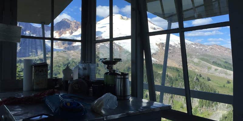
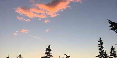
Park Butte Trailhead is located in the Mt. Baker-Snoqualmie National Forest, featuring forested terrain with mountain views. Temperatures range from 30°F in winter to 70°F in summer. Nearby attractions include the scenic Mount Baker and the picturesque Baker Lake.
Description
Provides access to: Park Butte Trail 603 , Scott Paul Trail 603.1 , Railroad Grade Trail 603.2 , Bell Pass Trail 603.3 . This trailhead is the primary access point for Mt. Baker National Recreation Area.
RV Road Trip Guides

Map & DirectionsPark Butte Trailhead is located in Washington near Concrete
Directions
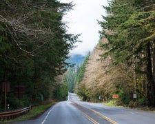
From the Mt. Baker Ranger District office in Sedro-Woolley, WA follow State Route 20 east for 16 miles to milepost 82. Turn left (north) on the Baker Lake Highway (Forest Service Road 11). Continue on at mile 12, turn left on Forest Service Road 12. Travel 3.6 miles to the junction of Forest Service Road 13. Stay to right and follow FS Road 13 for 5.3 miles. The trailhead is located at the end of FS Road 13.
Coordinates
48.70706289 N
121.81256436 W
Connectivity
 T-MobileNo Coverage
- VerizonNo Coverage
- AT&TNo Coverage
Connectivity
- T-MobileNo Coverage
- VerizonNo Coverage
- AT&TNo Coverage
Access
- Hike-InBackcountry sites.
Site Types
- Tent Sites
Features
For Campers
- Toilets
- Pets
FREE established camping
Enjoy camping on government land. Limited or no services at this camping area.
PERMIT might be REQUIRED
We curate permit requirements across the US for our PRO members. Try PRO to see if Park Butte Trailhead needs a permit.
Drive Time
- 1 hr 36 min from Mount Vernon, WA
- 1 hr 48 min from Bellingham, WA
- 2 hrs 29 min from Seattle, WA
- 3 hrs 26 min from Bremerton, WA


