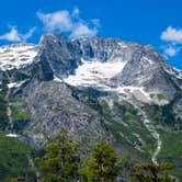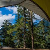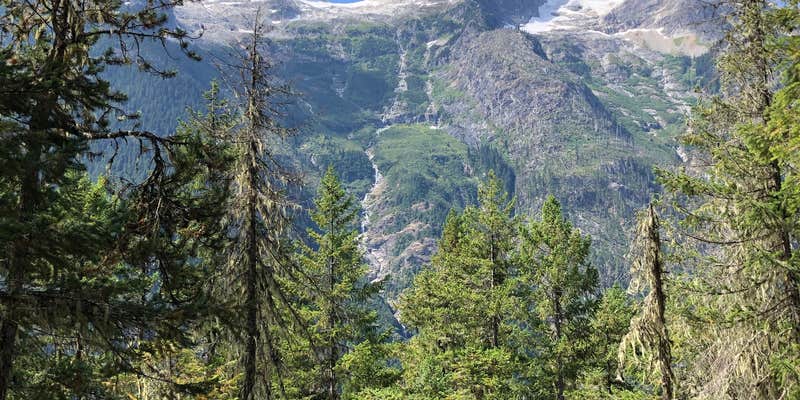
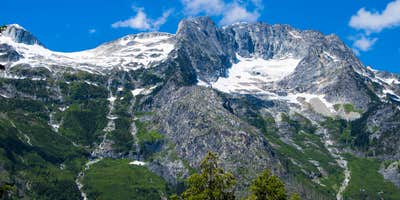
Reaching Junction Camp means committing to roughly 10 miles along the Thunder Creek Trail, with the final stretch past Camp Tricouni climbing steeply for about a mile. The camp sits in forested terrain near Thunder Creek, which provides accessible water just downhill from the sites. Three sites are available: two with open sightlines toward Boston Glacier and the surrounding waterfalls, and a third that is more sheltered but without the mountain views. A pit toilet and fire rings are on-site. Bear canisters are required since the surrounding fir forest is not suitable for hanging food. No-cost camping requires a permit from the North Cascades Visitor Center, and bugs can be significant in warmer months. Campers wanting a different approach to tent camping around North Cascades National Park will find Cosho Camp roughly 5 miles east along a separate route.
Description
Along Thunder Creek Trail, the first open view is from a 1970 burn at about 4.5 miles (7.2 km). Here an emerging forest of young Douglas-fir and a profusion of seed bearing herbs and shrubs attract birds, rodents and their predators. Across the valley, note a newer burn from lightning strikes in 1990. Rock cliffs and McAllister Glacier provide natural fire breaks and a splendid backdrop for this evolving forest scene. The next backcountry camps, McAllister hiker and stock, are located at mile 6.7 (10.8 km) and are a popular overnight destination. Pass the stock camp first, with a view from a high cliff down Thunder Creek. This view was created in the massive floods of 2003, when the river below shifted course significantly and carved into the cliff, suddenly bringing trail and hiker into much closer proximity to the creek! Hikers continue a short distance and cross the roaring creek on a log bridge to access the spacious and green creek-side hiker camp. The far site is a group site. Smaller Tricouni Camp lies 1.3 miles (2.1 km) beyond McAllister, in a more open salal forest, just after crossing Fisher Creek on a bridge. From Tricouni, the trail begins its first real climb: a relentless 2.2 miles (3.5 km) gains over 1000 feet (305 m) to reach Junction Camps (hiker and stock) and a major trail junction. From the high ridge of the hiker camp, enjoy an expansive view of Boston Glacier and Tricouni Peak. From here, one may either take the Fisher Creek Trail 14.8 miles (23.8 km) over Easy Pass to SR 20, or continue on the Thunder Creek Trail to Park Creek Pass. Both ways lead to grand trail experiences.
RV Road Trip Guides

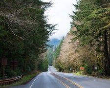
Map & DirectionsJunction Camp is located in Washington near North Cascades National Park
 Public Campground
Coordinates
48.5822863 N
121.02701682 W
Connectivity
 T-MobileNo Coverage
- VerizonNo Coverage
- AT&TNo Coverage
Connectivity
- T-MobileNo Coverage
- VerizonNo Coverage
- AT&TNo Coverage
Access
- Hike-InBackcountry sites.
Site Types
- Tent Sites
- Equestrian
Features
Drive Time
- 2 hrs 41 min from Mount Vernon, WA
- 2 hrs 54 min from Bellingham, WA
- 3 hrs 28 min from Seattle, WA
- 5 hrs 44 min from Wenatchee, WA