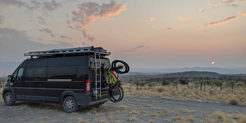
Within BLM Land — Fillmore Field Office, Paul Bunyon's Woodpile provides dispersed camping access for both drive-in and walk-in visitors. The campground sits near a geological formation with an adjacent trailhead, offering multiple well-dispersed sites across the landscape. Some sites feature natural wind protection while others remain more exposed to the elements.
Road conditions remain manageable during dry weather, though campers should expect challenging access after storms. The area typically sees light use even during busy weekends, with one shaded site available near the trailhead for those seeking tree cover. Coyotes are active at night throughout the area. Cell service and WiFi are available, and pets are welcome at this BLM-managed location that works well for campers comfortable with primitive conditions and wildlife activity.
Description
A geologic curiosity - rare in Utah - the "Woodpile" is a cluster of lava logs formed about 30 million years ago during the Eocene Period. The "logs" were formed when a lava flow cooled into orderly columnar joints having 3 to 6 sides. The columns measure about a foot in diameter and up to 15 feet in length. This formation was on the rim of the caldera that collapsed due to a void left when lava flowed out from under the caldera. Basin and range faulting caused the formation to tilt onto its side. Erosion has exposed the formation we now see.
RV Road Trip Guides


Map & DirectionsPaul Bunyon's Woodpile is located in Utah near Eureka
Directions
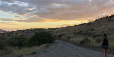
Paul Bunyan's Woodpile is located just east of Hwy 6, near Jericho Junction (the access road to Little Sahara Recreation Area). From Eureka, drive south on Hwy 6 for about 15 miles until you come to a good dirt road bearing east into the foothills. From Jericho Junction, drive north for about 3 miles to find the dirt road. At this writing, there are no signs on Hwy 6 marking the turnoff. There have been signs in the past and the turnoff will probably be signed again in the future. Paul Bunyan's Woodpile Follow the dirt road east for about 3.5 miles to the trailhead. There are signs along the dirt road showing the way and marking the trailhead. From the trailhead, follow the trail up the draw for about 1 mile, until you recognize the distinctive fins shown in the photo at right. The fins are located on top of the ridge to the left as you hike up canyon. The fins are composed of lava "logs" that look as if they were neatly stacked. Other logs are strewn haphazardly around the ridge top. When you can see the fins clearly, look for a trail that leaves the draw and switchbacks up the side of the ridge to the woodpile. If you continue up the draw you will swing around behind the woodpile and gain a view of the arch shown here. You can climb up to the woodpile from the backside but that rout is longer and much steeper.
Coordinates
39.76833057 N
112.11216697 W
Connectivity
 T-MobileNo Coverage
 VerizonLTESome Coverage
- AT&TNo Coverage
Connectivity
- T-MobileNo Coverage
- VerizonLTESome Coverage
- AT&TNo Coverage
Access
- Drive-InPark next to your site
- Walk-InPark in a lot, walk to your site.
Site Types
- Tent Sites
- Standard (Tent/RV)
- Group
Features
For Campers
- Picnic Table
- Phone Service
- WiFi
- Alcohol
- Pets
Drive Time
- 1 hr 10 min from Provo, UT
- 1 hr 39 min from Salt Lake City, UT
- 2 hrs 7 min from Ogden, UT
- 2 hrs 50 min from Logan, UT


