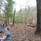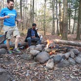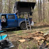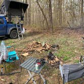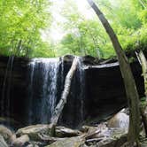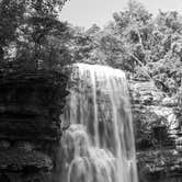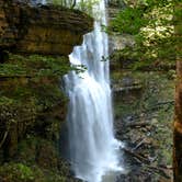
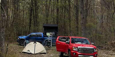
Reaching the backcountry campsites at Virgin Falls State Natural Area means committing to roughly eight miles of trail, round trip, with significant elevation change on the return. The area sits within the Bridgestone-Firestone Centennial Wildlife Management Area outside Pleasant Hill, Tennessee, and those planning a trip can find additional camping near Fall Creek Falls to compare options in the region. Three designated camping zones are spaced along the trail: Cable Crossing, Martha's Pretty Point, and a site directly adjacent to Virgin Falls itself.
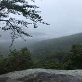
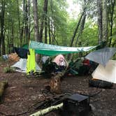
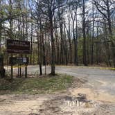
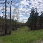
Each zone has a distinct character. Cable Crossing puts campers next to reliable creek access, though finding adequate trees for a food hang can be difficult there. The Point sites (numbered 4 through 7) sit on elevated terrain with sightlines over the gorge; site 7 is the most secluded, while site 4 sees consistent foot traffic from day hikers cutting through to the overlook. The campsite nearest the falls has no flat tent pads, making it a better fit for hammock setups than ground-dwellers. Trail signage is clear throughout, and multiple reviewers note the route stays well-marked even under heavy leaf cover.
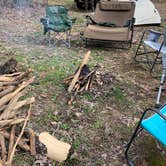
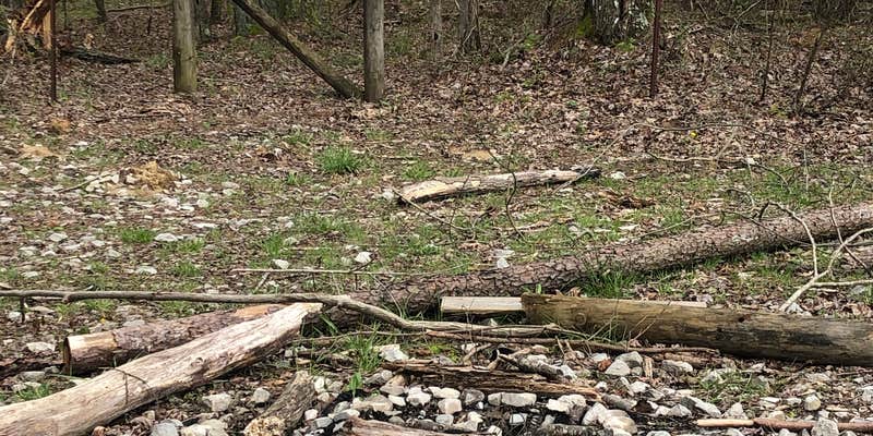
Water planning requires attention. As Michele M. notes, "a water filter is a necessity for camping in this little wilderness," and creek levels can vary significantly even after recent rain. Firewood availability depends on the zone: Cable Crossing runs scarce, while sites in the broader WMA have ample deadfall nearby. Bring a filter, pack out all waste, and check hunting season dates before visiting, as the WMA restricts access to hunters only during those periods.
Reservation Info
Backcountry camping is permitted at designated campsites only. Backpackers are required to use the on-line reservation system in order to insure that they have a campsite.
RV Road Trip Guides


Map & DirectionsVirgin Falls State Natural Area is located in Tennessee near Pleasant Hill
 Public Campground
Directions
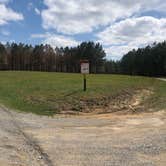
Virgin Falls is located south off of US Hwy 70 between Sparta, and Crossville. From Sparta head east through town out Hwy 70, approximately 11 miles. Turn right on Eastland Road (at the Headstart building, and the turn has signs), proceed 6 miles to the junction of Scotts Gulf road (also signed), then on 2 miles to the parking lot on the right side (west side) of the road.
Coordinates
35.85403052 N
85.28434636 W
Connectivity
 T-MobileNo Coverage
- VerizonNo Coverage
 AT&TLTESome Coverage
Connectivity
- T-MobileNo Coverage
- VerizonNo Coverage
- AT&TLTESome Coverage
Access
- Drive-InPark next to your site
Site Types
- RV Sites
- Standard (Tent/RV)
Features
For Campers
- Trash
- Phone Service
- Showers
- Drinking Water
- Toilets
- Pets
- Fires
Contact
General Info
Reservations
Drive Time
- 1 hr 26 min from Knoxville, TN
- 1 hr 33 min from Chattanooga, TN
- 1 hr 41 min from Nashville, TN
- 1 hr 43 min from Cleveland, TN