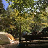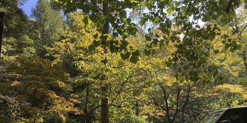
Cherokee National Forest's Tellico River Area sits along the creek in Coker Creek, Tennessee, managed by the US Forest Service with basic amenities: toilets and picnic tables. Sites closest to the road pick up noise from passing traffic. Bear hunting season brings hunters driving through at irregular hours with hounds, which can disrupt sleep. Some sites have seen longer-term occupants. Campers planning a visit should scout campsites near Cherokee National Forest for alternatives if road-adjacent spots are a concern, and request an interior site when possible.
Description
View of Bald River Falls in Cherokee National Forests This area provides outstanding opportunities for fishing, camping, hiking, and scenic driving. It is also home to the popular Indian Boundary Recreation Area and the Cherohala Skyway. Nearly 30,000 acres of remote backcountry surround three rivers and their tributaries, where fishing for brown, rainbow and brook trout is excellent. Cherohala Skyway (TN 165/NC143), a 43-mile National Scenic Byway, winds between Tellico Plains, Tenn. and Robbinsville, N.C. Tellico River Road (FR 210) offers intimate views of the river and 90-foot Bald River Falls. Spend the night at the historic Donley Cabin and check out CCC structures at Tellico Ranger Station and Dam Creek Picnic Area. Hike across the area on the Benton MacKaye Trail. Camp at sites along Tellico River or in Indian Boundary Recreation Area just off Cherohala Skyway. Tellico River Area Map Tellico River Area Guide
RV Road Trip Guides

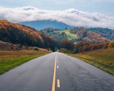
Map & DirectionsTellico River Area is located in Tennessee near Coker Creek
 Public Campground
Coordinates
35.32007064 N
84.14453836 W
Connectivity
 T-MobileNo Coverage
- VerizonNo Coverage
- AT&TNo Coverage
Connectivity
- T-MobileNo Coverage
- VerizonNo Coverage
- AT&TNo Coverage
Access
Site Types
- Tent Sites
Features
For Campers
- Picnic Table
- Toilets
Drive Time
- 1 hr 22 min from Cleveland, TN
- 1 hr 33 min from Knoxville, TN
- 1 hr 47 min from Chattanooga, TN
- 2 hrs 46 min from Gainesville, GA