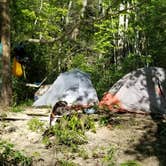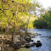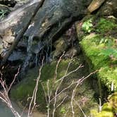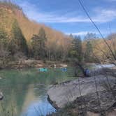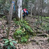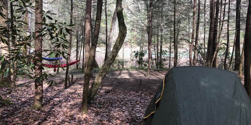
Hikers, anglers, and paddlers all find reasons to use Burnt Mill Bridge Loop, a backcountry camping area within the North Cumberland Wildlife Management Area, managed by the Tennessee Wildlife Resources Agency. The trail runs largely alongside the water, passing rock formations and smaller waterfalls, with multiple dispersed campsites available near the river. The terrain is genuinely rugged, with ladders, scrambles, and steep sections that make the approach demanding with a full pack. Rafters and kayakers also use the river corridor. The loop connects to the John Muir Trail and provides access toward the Honey Creek area. Those interested in camping near North Cumberland Wildlife Management Area will find the region has additional options. Dogs are welcome on the trail. Pack out all trash, as litter near the river has been noted by previous visitors.
Reservation Info
Backcountry camping permits are required. You may obtain a permit from one of the parks’ visitor centers, or online at http://www.nps.gov/biso/planyourvisit/permits.htm. Permits are valid for a single camping trip not to exceed 14 days at one site. No person, party, or group shall be permitted to camp for more than a total of 30 days in a calendar year. For more information, please call (423) 286-7275.
RV Road Trip Guides


Map & DirectionsBurnt Mill Bridge Loop is located in Tennessee near Petros
 Public Campground
Coordinates
36.23070004 N
84.37430075 W
Connectivity
 T-MobileNo Coverage
- VerizonNo Coverage
- AT&TNo Coverage
Connectivity
- T-MobileNo Coverage
- VerizonNo Coverage
- AT&TNo Coverage
Access
Site Types
- Tent Sites
Features
Drive Time
- 1 hr 23 min from Knoxville, TN
- 2 hrs 2 min from Morristown, TN
- 2 hrs 27 min from Cleveland, TN
- 2 hrs 52 min from Chattanooga, TN