Public Campground
Campers Flat Campground
Campers Flat Campground is located in the Willamette National Forest near Lane, Oregon. The terrain consists of forested areas with nearby rivers and streams. Temperatures range from 30°F in winter to 80°F in summer, and attractions such as the Salt Creek Falls and Waldo Lake are accessible for visitors.
Description
Overview
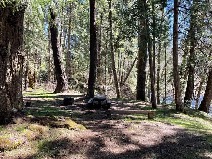
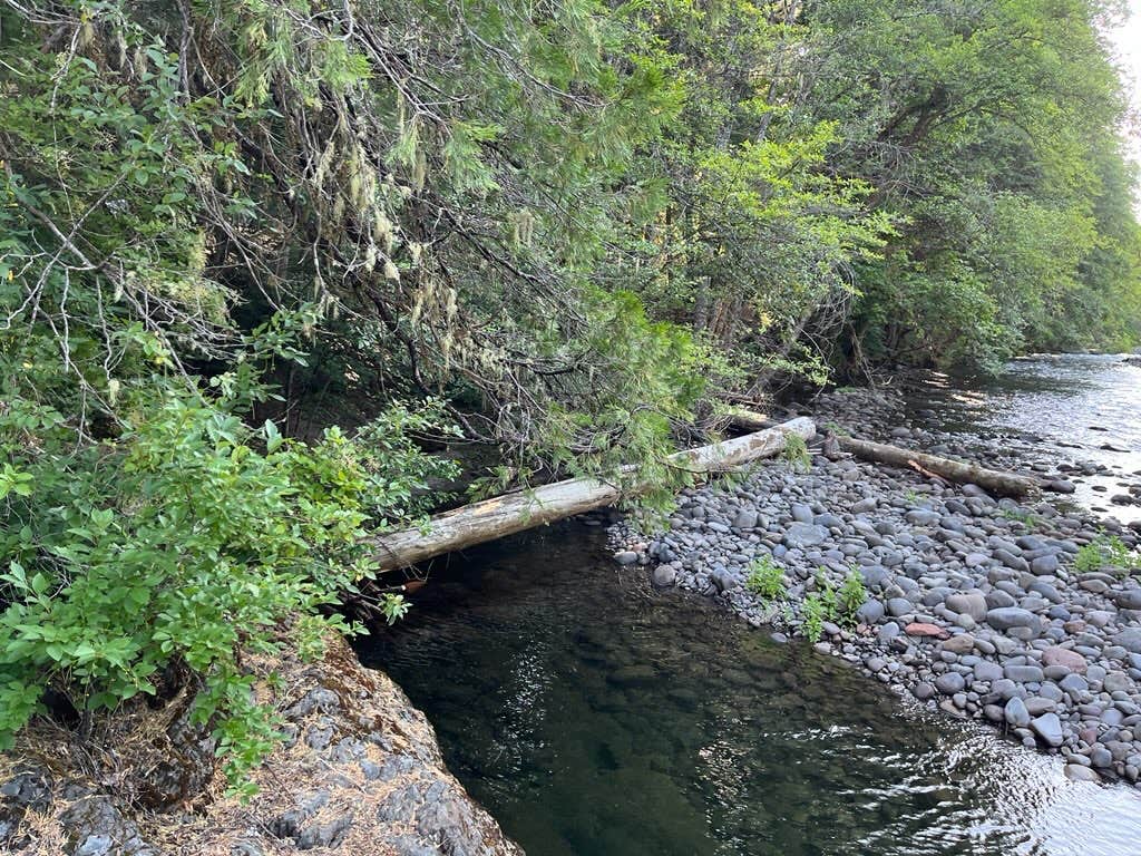
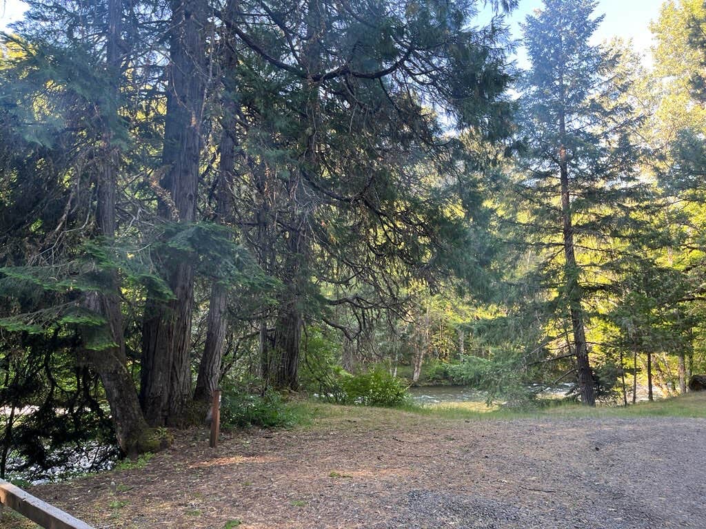
Campers Flat is on an open river terrace below Forest Road 21. This small campground is a group site situated in a beautiful setting under Douglas-firs and Ponderosa pines. The dynamic Middle Fork of the Willamette River almost eliminates the sound of traffic passing along the road. Popular activities are fishing and hiking, or mountain biking the Young's Rock Trail, which ends on the other side of Road 21 from the camp.
Recreation
This campground is ideally located for hikers, mountain bikers, and equestrians. The Middle Fork National Recreation Trail can be accessed just outside of the campground, as well as the Young's Rock trail. Chuckle Springs and Indigo Springs offer other opportunities nearby, and in the right season fishing is available in the Middle Fork as well as the nearby Hills Creek Reservoir.
Facilities
The campground has one small communal bathroom and regular trash services.
Natural Features
This campsite is located in a beautiful grove of Douglas firs, pines, and cedars. The Middle Fork flows along the side of the campground, and Chuckle Springs and Hills Creek Reservoir are short drives away.
Nearby Attractions
Middle Fork River, Young's Rock, Larrison Rock, Hills Creek Reservoir, Chuckle Springs, Indigo Springs
RV Road Trip Guides
Location
Campers Flat Campground is located in Oregon
Directions
Exit I-5 heading east on Highway 58 towards Oakridge, OR. On the east side of Oakridge, just past mile marker 37, take a right onto Kitson Springs Road. In approximately half a mile, take a right onto Forest Service Road 21. Continue on the 21 Road to mile post 20 and the locked gate to the campground will be on the right.
Coordinates
43.501111 N
122.412222 W
Connectivity
- T-MobileNo Coverage
- VerizonNo Coverage
- AT&TNo Coverage
Connectivity
- T-MobileNo Coverage
- VerizonNo Coverage
- AT&TNo Coverage
Access
- Drive-InPark next to your site
- Walk-InPark in a lot, walk to your site.
- Hike-InBackcountry sites.
Site Types
- Tent Sites
- RV Sites
- Standard (Tent/RV)
- Group
Features
For Campers
- Trash
- Reservable
- Drinking Water
- Toilets
- Alcohol
- Pets
- Fires
For Vehicles
- Sanitary Dump
- Water Hookups
Drive Time
- 1 hr 44 min from Eugene, OR
- 2 hrs 11 min from Albany, OR
- 2 hrs 30 min from Bend, OR
- 3 hrs 26 min from Medford, OR

