Public Campground
Horseglade Trailhead Campground
Horseglade Trailhead Campground near Bly, Oregon, is surrounded by forested terrain with trails suitable for hiking and horseback riding. Temperatures range from 30°F in winter to 85°F in summer, offering varied seasonal experiences. Nearby attractions include the Fremont-Winema National Forest and the Sprague River, providing opportunities for exploration and fishing.
Description
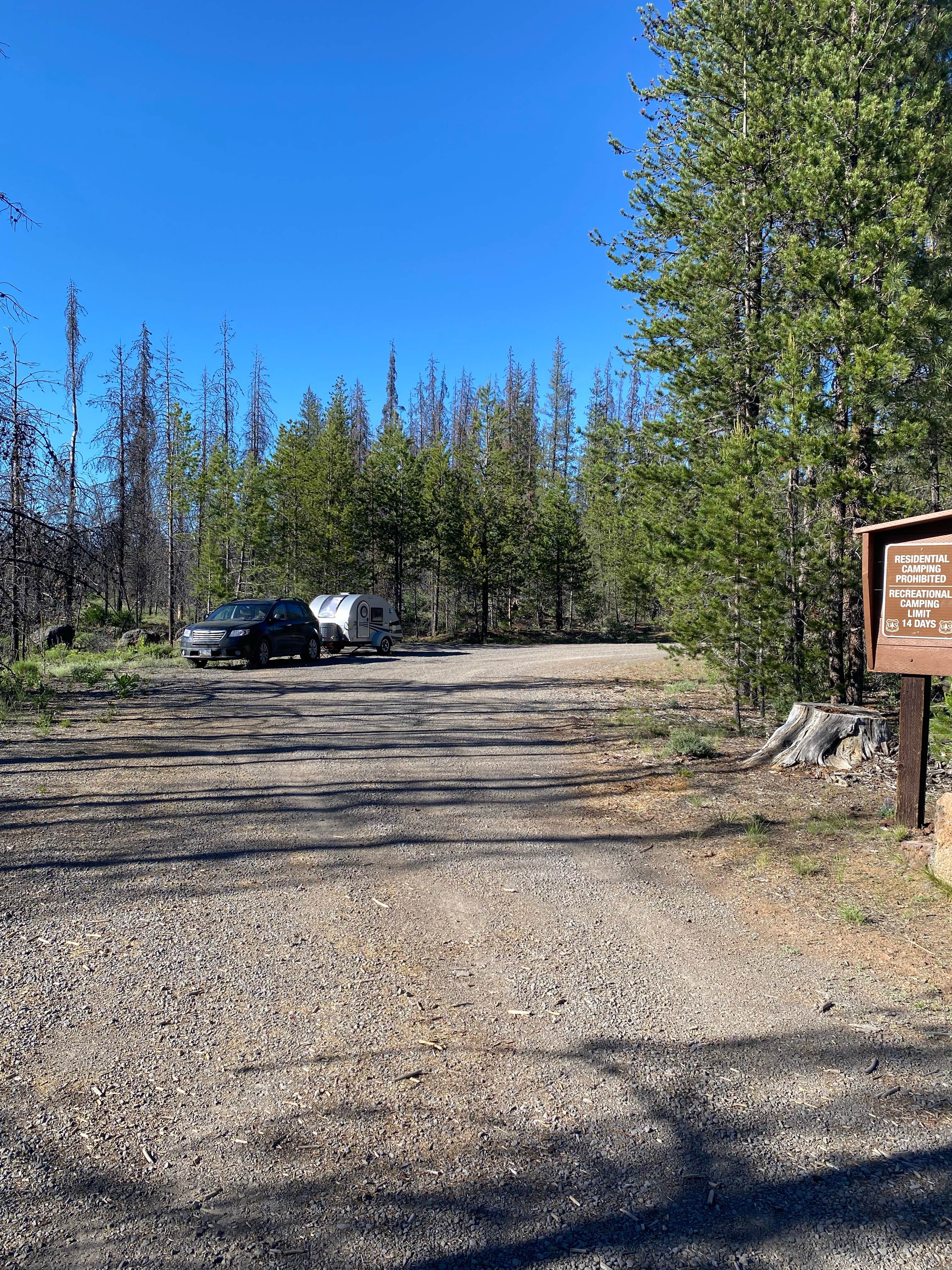
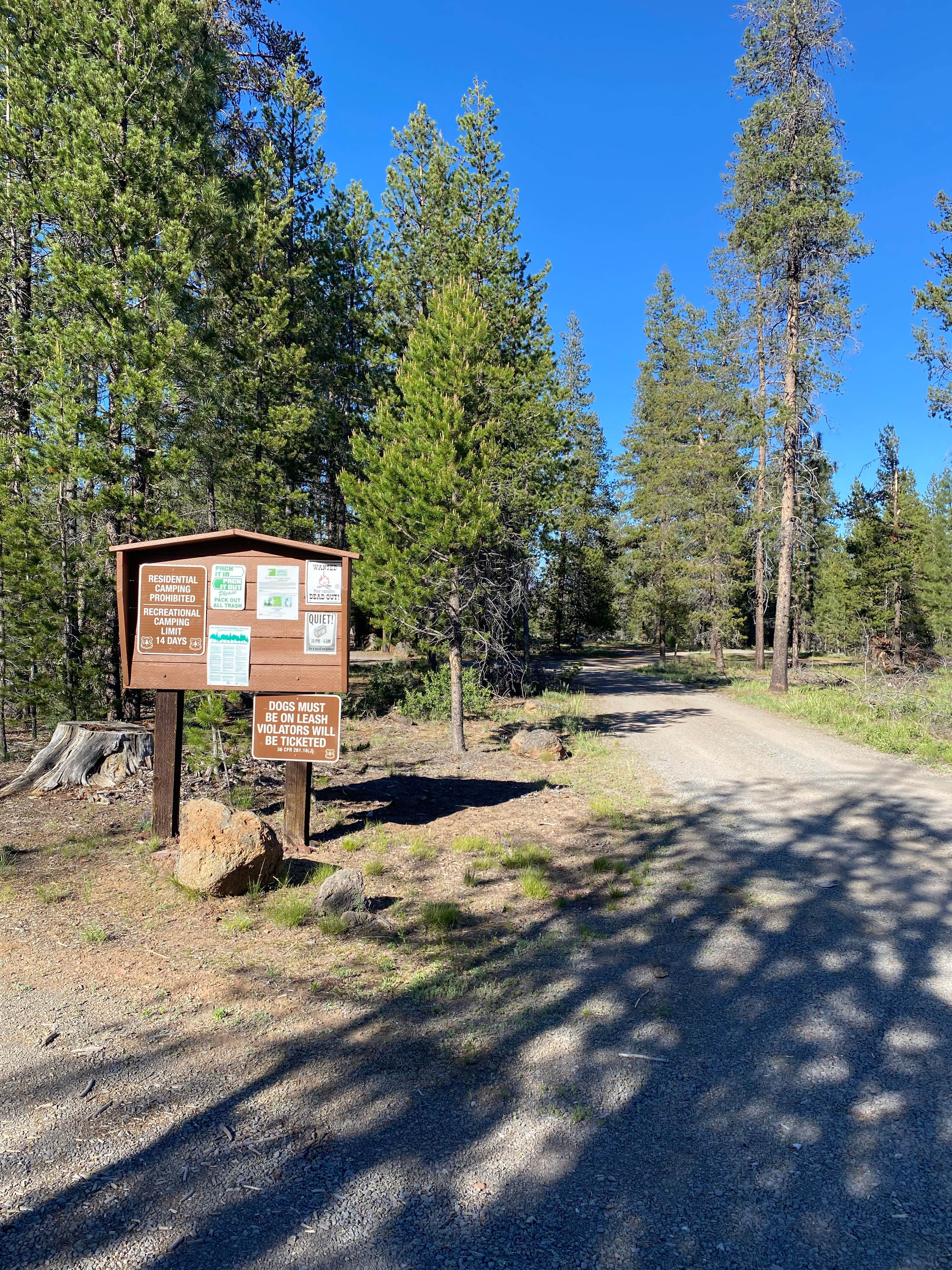
Provides access to : Woods Line Spurof the OC and E Trail. Trail users can go south following the Five Mile Creek or head north toward the Sycan Marsh to view Merritt Creek Trestle. The Horseglade Trailhead, 40 minutes north of Bly, Oregon, is situated on the Oregon California and Eastern State (OC&E;) Trail, a 100-mile trail built on the old railbed of the OC&E; Railroad. This trail is open to hikers, horseback riders and mountain bikers. It begins in the heart of Klamath Falls, Oregon, extending east to Bly, Oregon, and north to the lush Sycan Marsh on the Woods Line Spur. Amenities at the trailhead include a picnic table, campfire ring, vault toilet and a parking area with room for trailer turnaround. Dispersed camping is allowed. There is no potable water. Visitors need to pack plenty of water. Maintenance services are provided from June 15th through September 15th
RV Road Trip Guides
Location
Horseglade Trailhead Campground is located in Oregon
Directions
Horseglade Trailhead is located 40 minutes northwest of Bly, OR. From Bly, OR take Oregon Highway 140 west toward Klamath Falls, Oregon and turn right onto Ivory Pine Road. Continue north on Ivory Pine Road. Turn left on Forest Service Road 27 to the trailhead. Trailhead vicinity map
Coordinates
42.610367 N
121.091837 W
Connectivity
- T-MobileLTESome Coverage
- VerizonNo Coverage
- AT&TNo Coverage
Connectivity
- T-MobileLTESome Coverage
- VerizonNo Coverage
- AT&TNo Coverage
Access
Site Types
- Tent Sites
Features
Drive Time
- 2 hrs 25 min from Medford, OR
- 2 hrs 30 min from Bend, OR
- 2 hrs 50 min from Grants Pass, OR
- 3 hrs 32 min from Eugene, OR

