Free Camping Collection
Public Campground
Pharsalia Y Pond
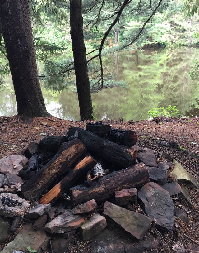
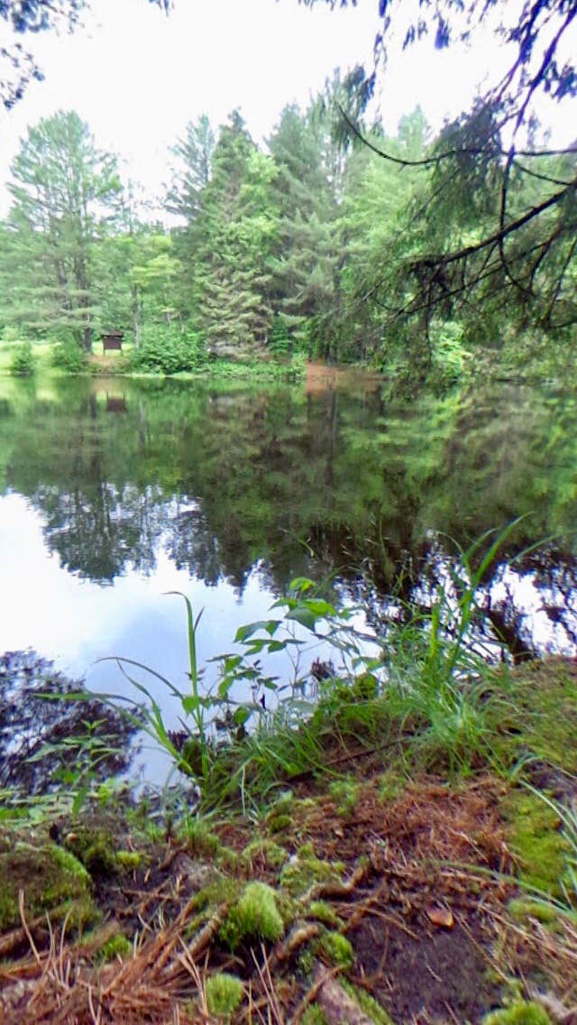
Pharsalia Y Pond is located near a pond in New York, surrounded by forested terrain. The area experiences temperatures ranging from the 20s in winter to the 80s in summer. Campers can explore Bowman Lake State Park and the Finger Lakes Trail, both offering outdoor activities and natural scenery.
Description
The primary purposes of Pharsalia Wildlife Management Area (WMA) are for wildlife management, wildlife habitat management, and wildlife-dependent recreation. This WMA is 4,689 acres in size and is located in the northwest portion of Chenango County, approximately 10 miles southwest of Sherburne. Pharsalia generally has flat or gently sloping terrain.
In 1926 Pharsalia became the first State Game Refuge purchased with Conservation Fund monies. Thousands of trees and shrubs were planted for reforestation and wildlife purposes. A 200-man Civilian Conservation Corp camp accomplished much of the work and also constructed several small ponds for waterfowl use.
Reservation Info
Ordinarily there is no dispersed camping allowed in a WMA, even though it is allowed in the surrounding state forest. However, there are a few designated campsites within the WMA at which camping is allowed but ONLY with a permit from the regional DEC office. Permits must be obtained whether this site is used as a destination campsite, or as an overnight site for through hikers on the Finger Lakes Trail. To obtain a permit, contact: DEC Region 7 Cortland Office (M-F, 8:30AM - 4:45PM), (607) 753-3095; Info.R7@dec.ny.gov
Location
Pharsalia Y Pond is located in New York
Directions
New York Route 23 borders part of the west and south sides of the WMA and provides access to a system of town and maintenance roads traversing the WMA. Head west out of Norwich on Route 23 to the town of Pharsalia. The WMA is on your right. All Google links leave DEC website. • Elmer Jackson Road (42.6268997°N,-75.7157974°W) • John Smith Road (42.6180992°N,-75.7303009°W) • John Smith Road (42.6213989°N,-75.7300034°W) • John Smith Road (42.6234016°N,-75.729599°W) • Elmer Jackson Road (42.6300011°N,-75.7151031°W) • Cole Hill Road (42.6391983°N,-75.6774979°W) • Johnson Street (42.6399002°N,-75.6901016°W) • Johnson Street (42.6385994°N,-75.694603°W) • Mud Lane Road to Bear Wallow (42.6450996°N,-75.6968994°W) • Johnson Street (42.6313019°N,-75.7279968°W) • Grover Brown Road (42.6181984°N,-75.6949005°W)
Coordinates
42.6257259 N
75.7148254 W
Connectivity
- T-MobileNo Coverage
- VerizonNo Coverage
- AT&TNo Coverage
Connectivity
- T-MobileNo Coverage
- VerizonNo Coverage
- AT&TNo Coverage
Access
- Hike-InBackcountry sites.
Site Types
- Tent Sites
Features
For Campers
- Reservable
- Pets
- Fires
FREE established camping
Enjoy camping on government land. Limited or no services at this camping area.
PERMIT might be REQUIRED
We curate permit requirements across the US for our PRO members. Try PRO to see if Pharsalia Y Pond needs a permit.
Drive Time
- 45 min from Binghamton, NY
- 58 min from Syracuse, NY
- 1 hr 2 min from Ithaca, NY
- 1 hr 5 min from Utica, NY


