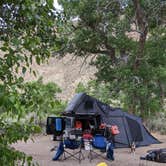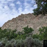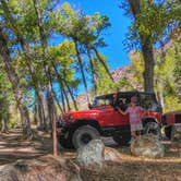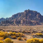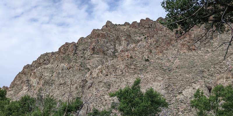
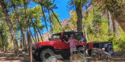
Within Toiyabe National Forest, Peavine Campground provides free camping along a creek in an open canyon setting. This US Forest Service site accommodates RVs up to 20 feet and welcomes both tents and smaller trailers, though the access road requires attention from larger rigs.
The campground sits roughly 30 minutes from the main highway down a road that passes quarry operations and ranch land. Multiple reviewers note the rough access conditions, with one mentioning "pretty tight spots" that favor tent camping and smaller setups. The creek runs through the campground, adding water sounds to the canyon environment. Sites spread along the road, with additional camping spots available past two river crossings further into the area.
Cell service remains unavailable with major carriers, and campers must bring their own water. "It was so quiet and peaceful with the creek running through it," notes one visitor who appreciated the isolation. The campground features basic amenities including toilets and picnic tables, with campfires permitted. Equestrian and OHV trails provide access to surrounding forest areas, including connections toward the Arc Dome Wilderness.
For those planning regional camping trips, places to camp around Round Mountain offer additional options within reasonable driving distance. The canyon location means temperatures drop noticeably after sunset, particularly during shoulder seasons.
Description
Generally open May to October as weather and conditions allow.
Access to the Arc Dome Wilderness by the Peavine and Toms Canyon Trailheads.
Located in Peavine Canyon, on the southeastern side of the Toiyabe Mountain Range. Peavine Creek also flows through this site. Small store located in Hadley, 11 miles north of the campground.
RV Road Trip Guides

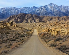
Map & DirectionsPeavine Campground is located in Nevada near Round Mountain
 Public Campground
Directions
To access the campground from Austin: 1. Follow US 50 East to the SR 376 junction. 2. Turn right onto SR 376 and continue south for approximately 60 miles to the Peavine Campground turnoff. 3. Turn right and continue west for approximately nine miles to the campground. To access the campground from Tonopah: 1. Follow US 6 East to the SR 376 junction. 2. Turn left and continue north for approximately 40 miles to the Peavine Campground turnoff. 3. Turn left and continue west for approximately nine miles to the campground.
Coordinates
38.615550915308475 N
117.30260679410341 W
Connectivity
 T-MobileNo Coverage
- VerizonNo Coverage
- AT&TNo Coverage
Connectivity
- T-MobileNo Coverage
- VerizonNo Coverage
- AT&TNo Coverage
Access
- Drive-InPark next to your site
Site Types
- Tent Sites
- Standard (Tent/RV)
Features
For Campers
- Picnic Table
- Toilets
- Alcohol
- Pets
- Fires
FREE established camping
Enjoy camping on government land. Limited or no services at this camping area.
Drive Time
- 4 hrs from Reno, NV
- 4 hrs 4 min from Carson City, NV
- 7 hrs 9 min from Visalia, CA
- 7 hrs 39 min from Fresno, CA