Public Campground
Steer Creek Campground
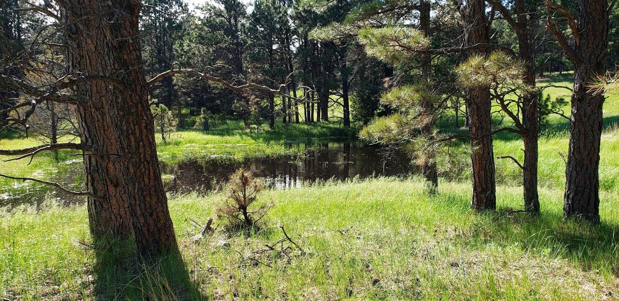
Steer Creek Campground, near Nenzel, Nebraska, is a cozy spot that invites you to unwind amidst the pines. With a laid-back vibe, it’s perfect for those who appreciate a more primitive camping experience without the fuss of hookups.
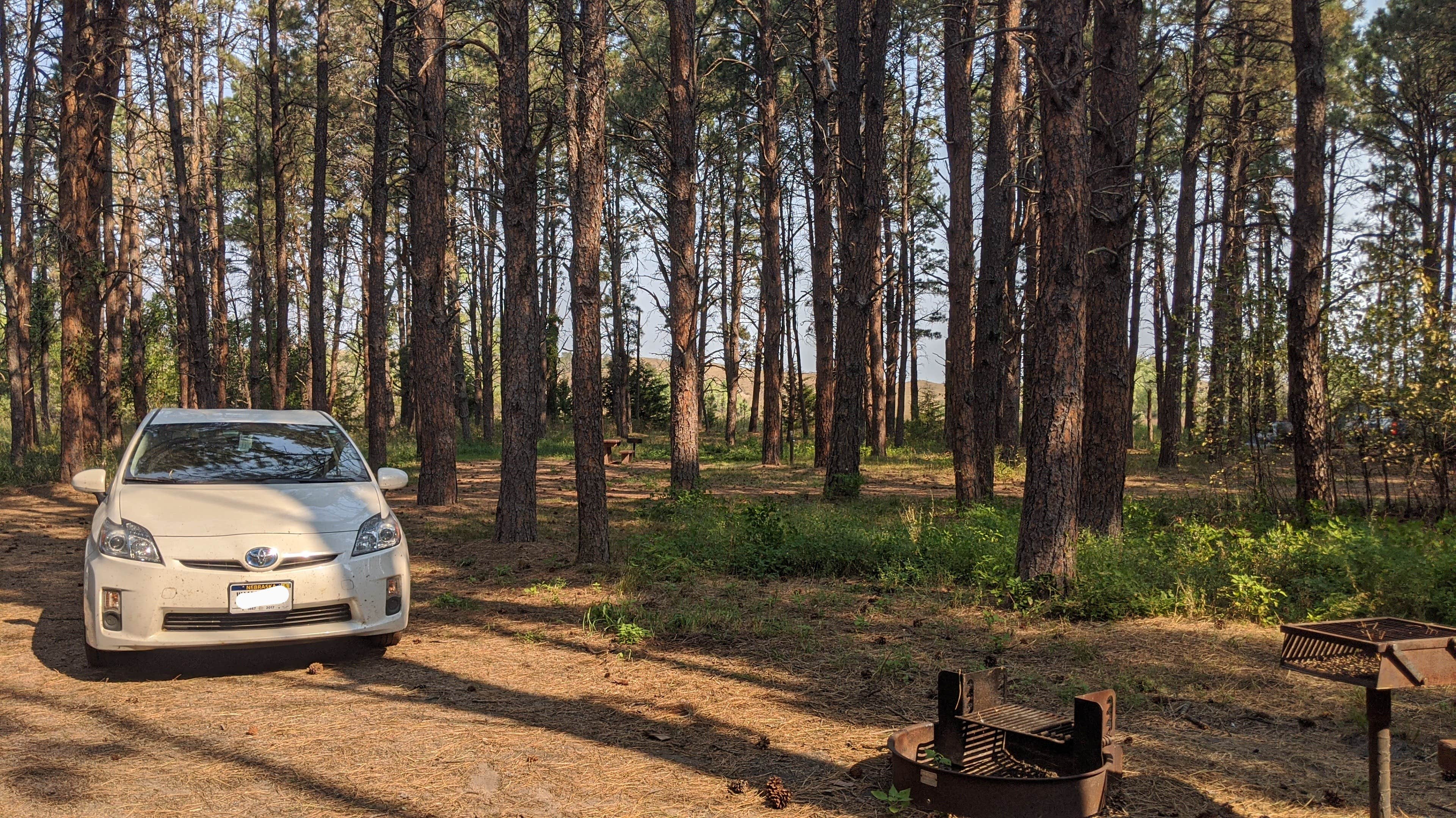
This campground offers a handful of shaded sites, ideal for pitching a tent or parking a smaller RV. Campers have noted the abundance of downed wood for campfires, and there’s a centrally located water pump for fresh drinking water. As one visitor put it, “There are lots of shady sites, almost all the trees are pines,” making it a pleasant retreat from the sun.
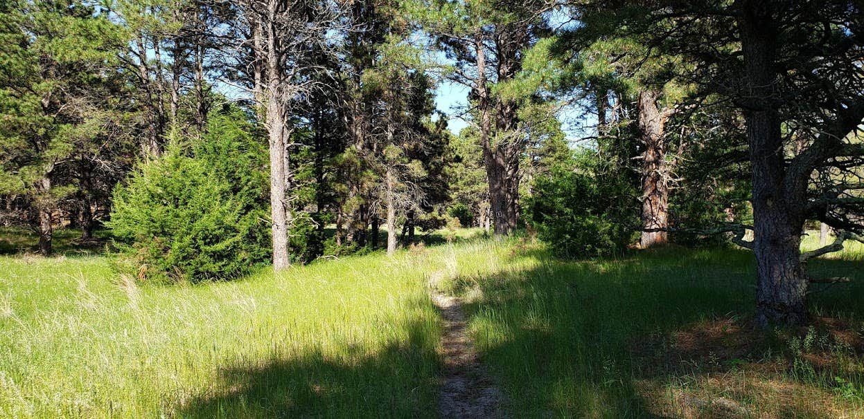
For those who enjoy a bit of adventure, there’s a one-mile walking trail that winds through the area, and the surrounding National Grassland is ripe for exploration. Just be sure to wear long pants if you venture out, as the local flora can be prickly. Campers have also enjoyed the sounds of nature, with coyotes serenading them at night.
While the campground may not have all the bells and whistles, it’s the tranquility and natural beauty that keep folks coming back. Whether you’re looking to escape the hustle and bustle or simply enjoy a weekend in the great outdoors, Steer Creek Campground has a lot to offer.
Description
Tucked in the shade of ponderosa pines planted in the early 1900's, this 23-unit campground is located in the southeast corner of the Samuel R. McKelvie National Forest. A hand water pump, picnic tables, fire rings, and modern vault toilets make this an attractive base from which to explore the Sandhills. The Blue Jay Trail, a one-mile nature loop, starts and ends at the campgound. For horseback riders, a corral with 8 stalls is available, with a manure bunk nearby. We ask that horses not be in individual campsites unless being saddled.
Location
Steer Creek Campground is located in Nebraska
Directions
From Nenzel, NE go south on State Spur 16F for 18 miles until you arrive at the campground. From Valentine, NE head south on NE-97 for 26 miles, turn right onto the Merritt Dam Road. Continue onto Forest Service Road 5 for 15 miles, turn left onto at State Spur 16F go 2 miles to the campround.
Coordinates
42.6884557 N
101.15299155 W
Connectivity
- T-MobileNo Coverage
- VerizonNo Coverage
- AT&TNo CoverageVerified by 1 userLast on 1/26/26
Connectivity
- T-MobileNo Coverage
- VerizonNo Coverage
- AT&TNo CoverageVerified by 1 userLast on 1/26/26
Access
- Drive-InPark next to your site
- Walk-InPark in a lot, walk to your site.
Site Types
- Tent Sites
- RV Sites
- Standard (Tent/RV)
- Tent Cabin
- Equestrian
Features
For Campers
- ADA Access
- Trash
- Picnic Table
- Firewood Available
- Drinking Water
- Toilets
- Alcohol
- Pets
- Fires
For Vehicles
- Pull-Through Sites
Drive Time
- 2 hrs 58 min from Rapid City, SD
- 3 hrs 51 min from Grand Island, NE
- 4 hrs 31 min from Sioux Falls, SD
- 4 hrs 37 min from Cheyenne, WY


