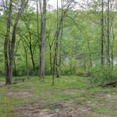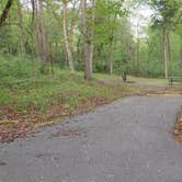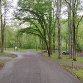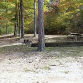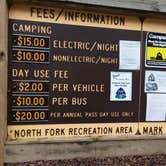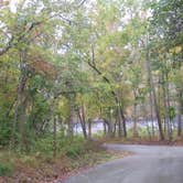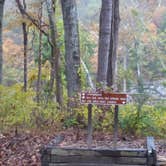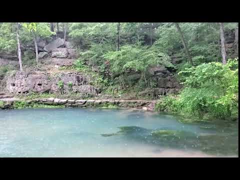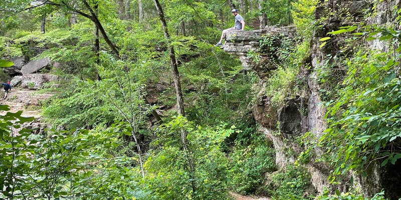
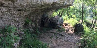
Mark Twain National Forest's North Fork Recreation Area sits along the North Fork River in the Ozarks of southern Missouri, managed by the US Forest Service and open from May 15 through December 1. The campground runs through a Dogwood Loop with paved roads and paved campsites, and sites are large with good spacing between them. Privacy between sites is limited, however, so campers with neighbors will be in clear view of one another.
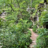
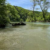
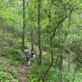
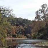
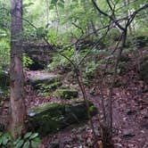
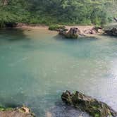
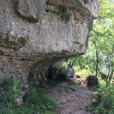
Water access is the central draw here. The North Fork River runs alongside the area, with day-use sections drawing swimmers, kayakers, canoeists, and anglers throughout the season. Bank fishing is possible near the day-use area. Some informal trails from the sites toward the river have become overgrown, and erosion along the banks has left scattered concrete slabs and buried debris from what appears to be a previously washed-out section of the campground. The Blue Spring Trail, accessible from within the campground, covers moderate terrain with views of the North Fork River. Reviewers consistently mention the river as a constant audible presence at night.
Vault toilets are available on-site and have been reported as clean and stocked. Drinking water is provided during the season but is shut off before the December close date. Electric and water hookups are available for RVs up to 35 feet, and a dump station is on-site. Reservations are available. As Erin-Frannie R. notes, the sites are "HUGE and spacious but not private." Campers looking for river-focused options elsewhere in the region can browse campgrounds around Mark Twain National Forest, or consider Twin Bridges Canoe Campground to the north for a more paddle-oriented setup.
Description
North Fork Recreation Area provides camping, picnicking, boating, canoeing, hiking and fishing access to the beautiful North Fork of the White River, which has a total of nine major springs flowing into it. Two of its largest springs are Big Springs and Blue Spring, which contribute some 18 million gallons of cold, clear water every day. North Fork Recreation Area serves as trailhead for the 35-mile long Ridge Runner National Recreation Trail and the Blue Spring Trail.
RV Road Trip Guides

Map & DirectionsNorth Fork is located in Missouri near Dora
 Public Campground
Directions
From Dora, MO, take State Rt. 181 south 0.5 miles to State Rt. CC. Turn left onto Rt. CC and go 4.3 miles to North Fork Hammond Mill forest sign. Turn right into campground. From West Plains, MO take State Route CC west 16 miles. From Highway 181 just south of Dora, MO take State Route CC 3 miles east.
Coordinates
36.75800059 N
92.15400055 W
Connectivity
 T-MobileNo Coverage
- VerizonNo Coverage
- AT&TNo Coverage
Connectivity
- T-MobileNo Coverage
- VerizonNo Coverage
- AT&TNo Coverage
Access
- Drive-InPark next to your site
- Walk-InPark in a lot, walk to your site.
- Boat-InSites accessible by watercraft.
Site Types
- Tent Sites
- RV Sites
- Standard (Tent/RV)
- Group
- Tent Cabin
Features
For Campers
- ADA Access
- Trash
- Picnic Table
- Reservable
- Drinking Water
- Electric Hookups
- Toilets
- Alcohol
- Pets
- Fires
For Vehicles
- Sanitary Dump
- Water Hookups
Drive Time
- 1 hr 43 min from Springfield, MO
- 2 hrs 13 min from Jonesboro, AR
- 2 hrs 50 min from Jefferson City, MO
- 3 hrs 13 min from Fayetteville, AR