Public Campground
Au Sable Loop Campground — Huron Manistee National Forests
Warning 1 Alert is In Effect
There is 1 alert for this campground. Camp safely!
Warning 1 Alert is In Effect
There is 1 alert for this campground. Camp safely!
The water at our facility has been shutoff for the winter season. Please bring all the water youll need for your visit, including drinking water.
Au Sable Loop Campground is located in the Huron-Manistee National Forests near Michigan. The terrain consists of forested areas with flat and rolling landscapes. Campers can experience temperatures ranging from 20°F in winter to 80°F in summer, and nearby attractions include the Au Sable River and Lumberman's Monument.
Description
Overview
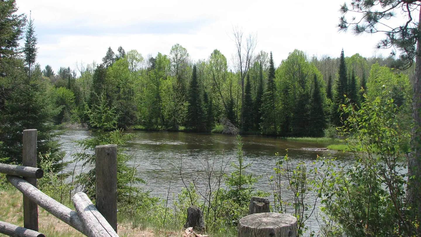
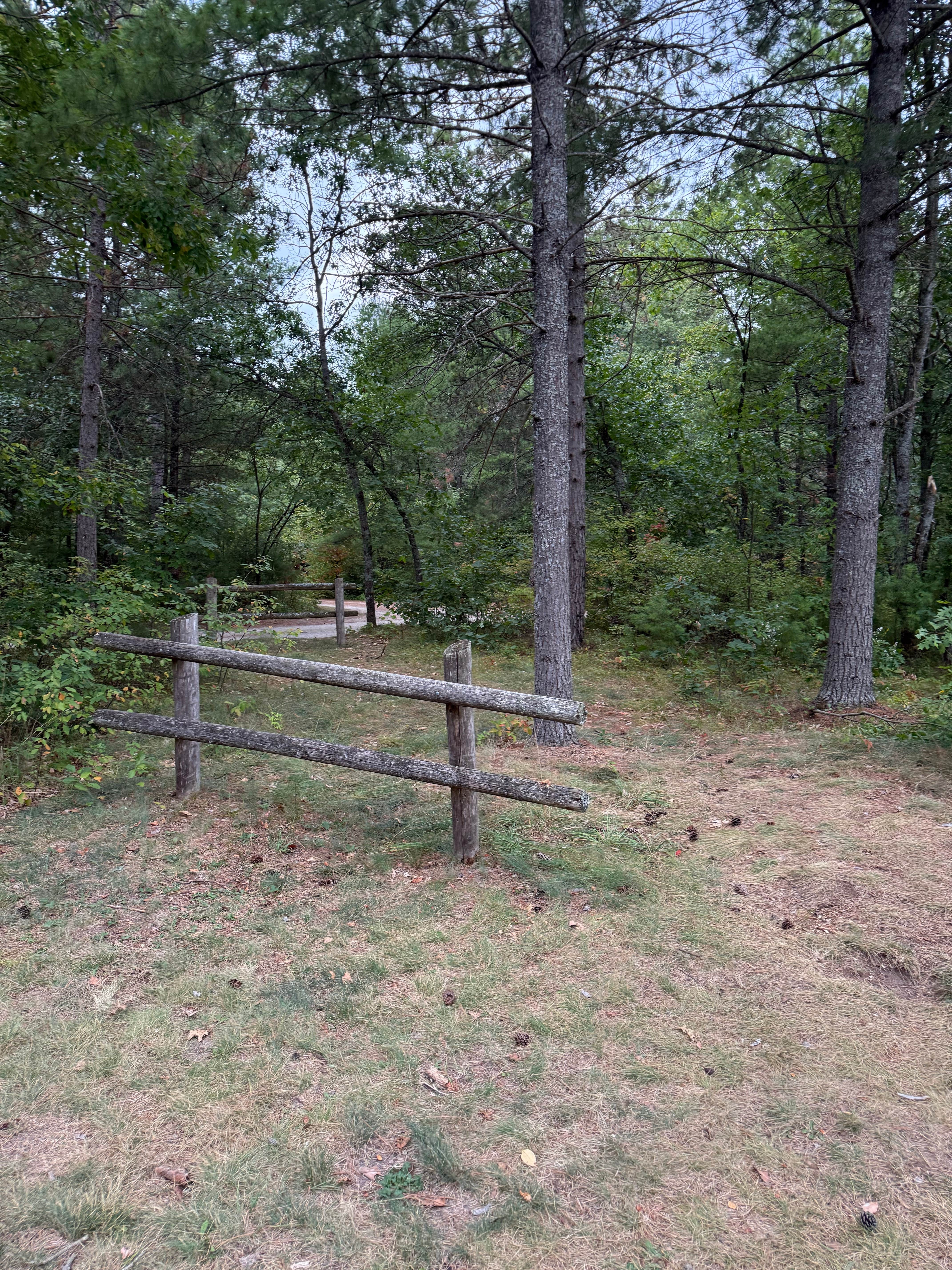
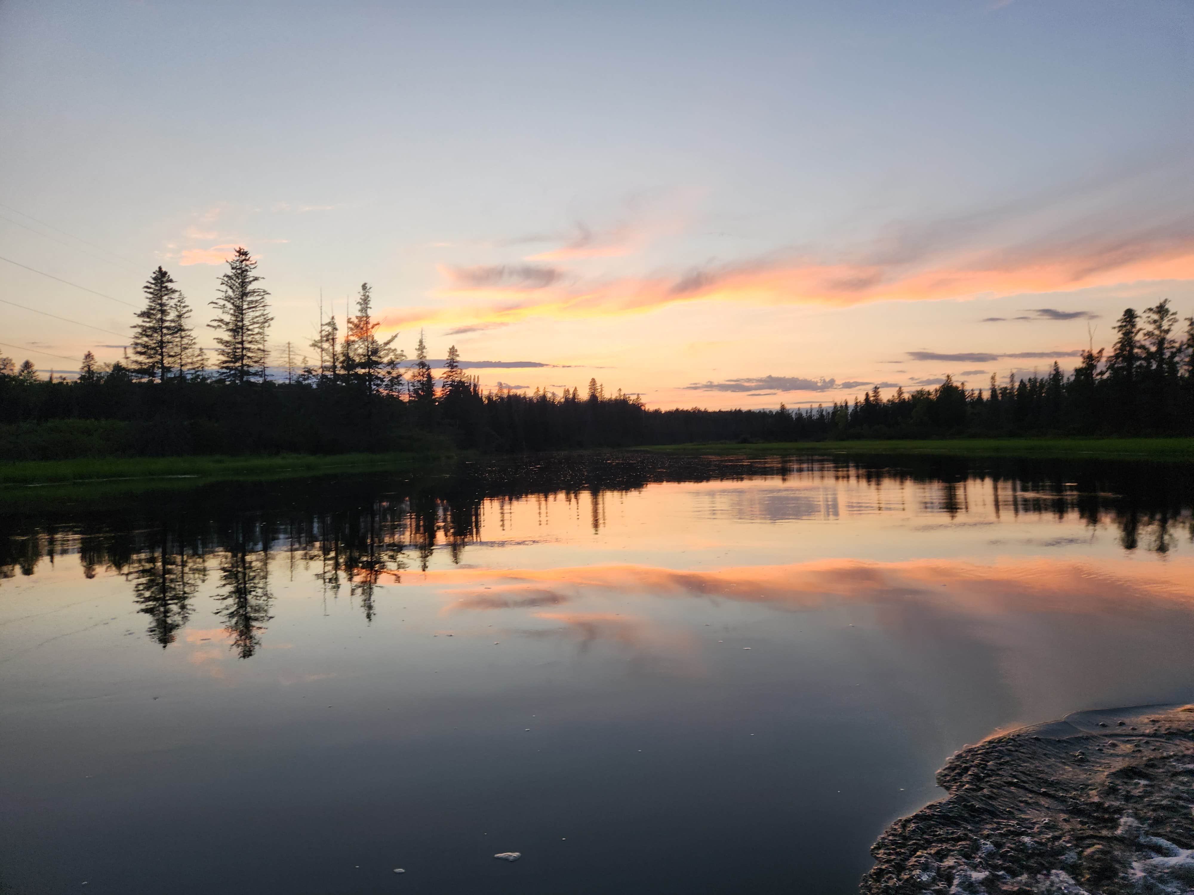
As visitors exit McKinley Road to enter the Au Sable Loop Scenic Overlook, they will first see a panoramic vista of the National Scenic portion of the Au Sable River. From the Au Sable Loop Scenic Overlook follow the unpaved road to reach the campground. The small five site campground is set amidst a mixed hardwood forest.__The campground and day use areas are ideal for scenery viewing, wildlife viewing, and picnicking.
Recreation
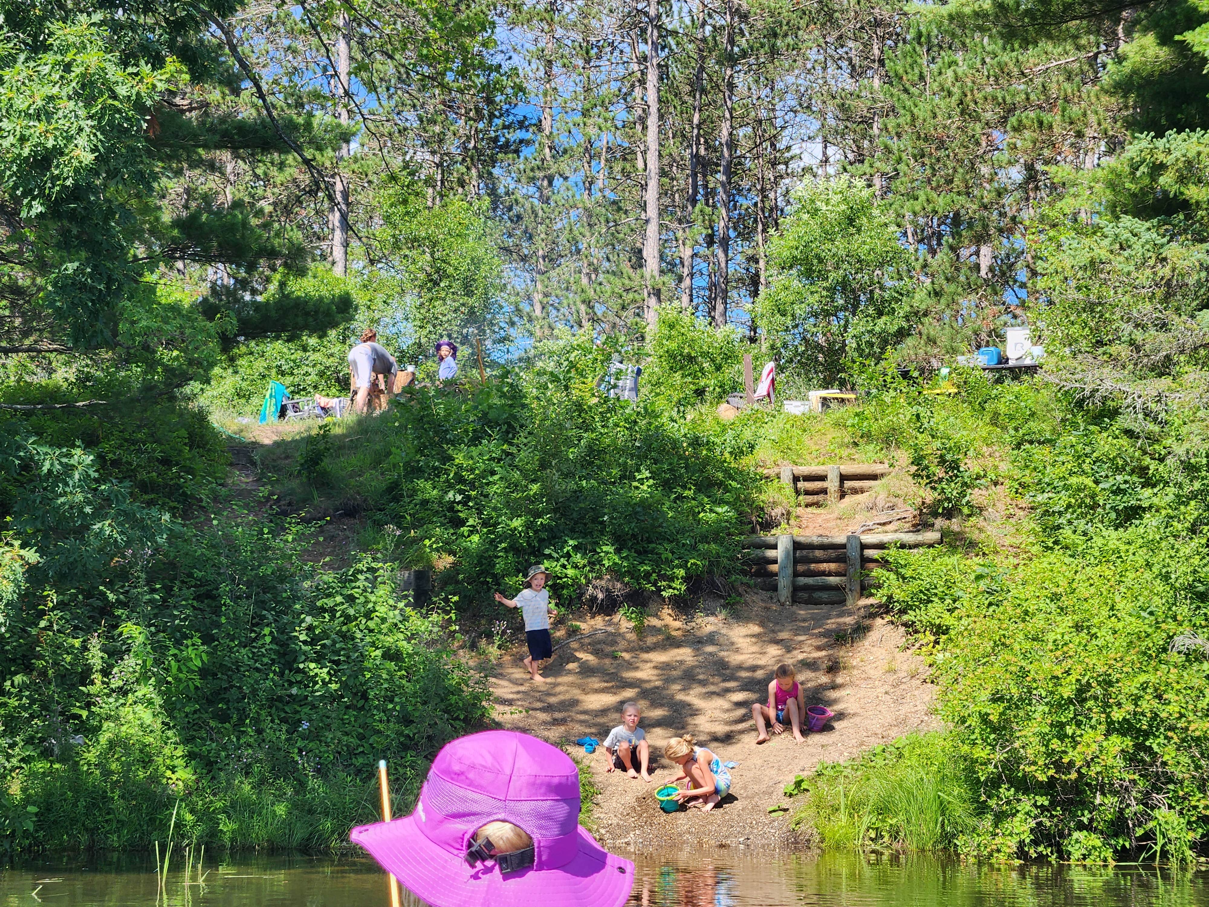
Water Activities: The Au Sable Loop Campground provides forest visitors with a variety of water activities. Access to the Au Sable River is afforded by a short path from the campground. Anglers can boat, wade, and fish from shore. Fish species found in the Au Sable River include bass, pike, brown trout, walleye, perch, sunfish, steelhead, and salmon. The water flows at a speed of 2 mph. The Au Sable River provides opportunities for non-motorized boating using watercraft such as canoes, kayaks, and rafts. Watercraft can be rented in Mio at Hinchmans Acres Resort or at Alcona Canoe Rental in Glennie. Hiking: Along the north side of the river is the 0.5 mile Mio Nature Trail with a trailhead located in the Mio Ranger Station parking lot. Along the south side of the river is the 4.5 mile Wolf Creek Trail . The trailhead for Wolf Creek is on the lefthand side 1 mile west of Mio down South River road. Both trails provide views of the Au Sable River and are appropriate for a variety of skill levels.
Facilities
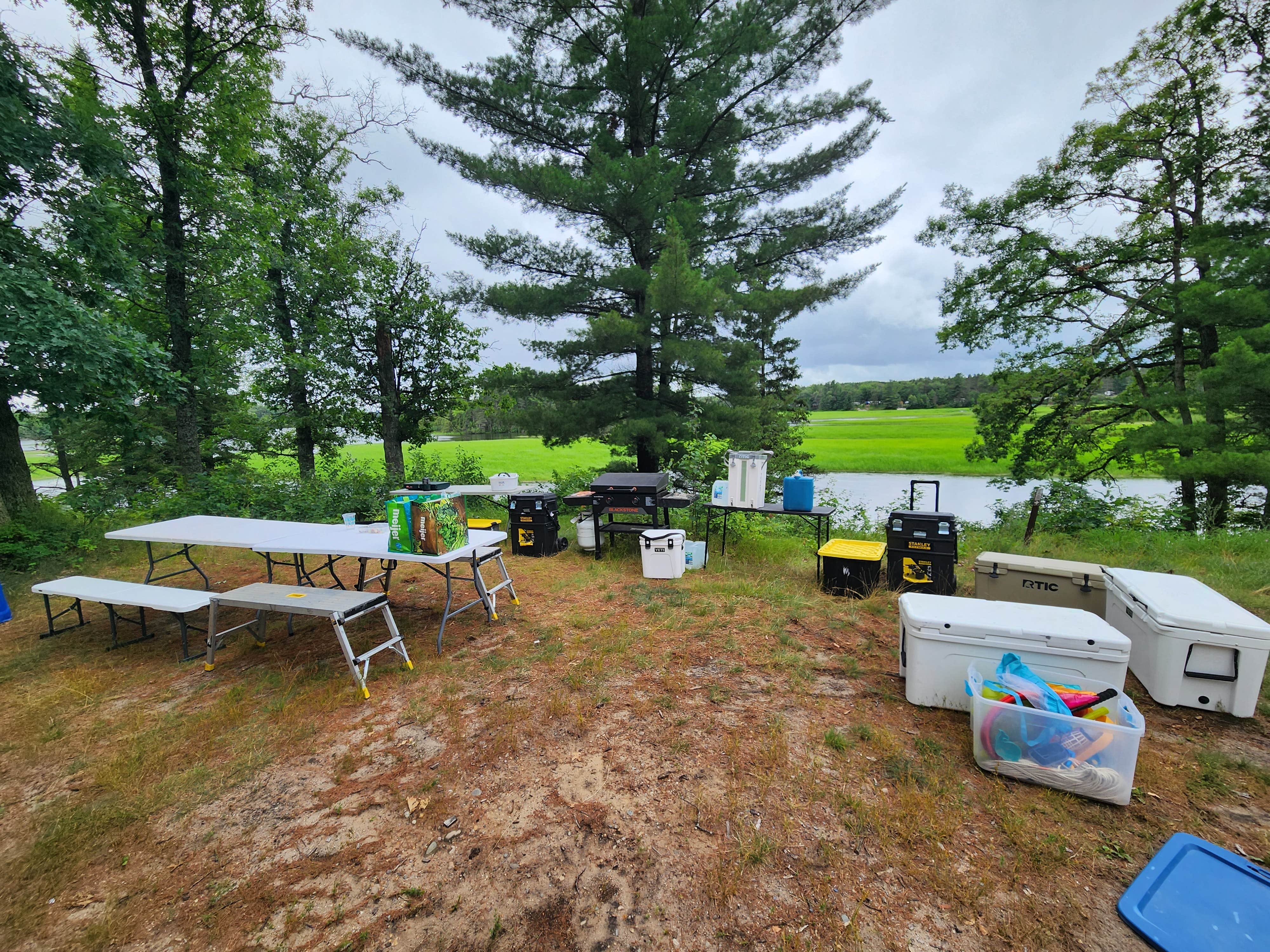
The Au Sable Loop Campground provides a handpump well for drinking water, a vault toilet, and trash collection services. Campsites provide users with picnic tables, campfire rings, and lantern posts.
Natural Features
Located near the banks of the National Scenic Au Sable River, this campground is a haven for water based recreation. An exemplary setting for wildlife viewing, visitors and campers will see a melding of habitats as the river turns to forest and then to field. The area is inhabited by bald eagles, deer, bear, bobcat, porcupine, various songbirds, and waterfowl. Please respect wildlife and observe from a distance.
Contact Info
This location is unstaffed. To speak with our main office for general information, please call: (989) 826-3252.
Charges & Cancellations
All reservation changes, cancellations, and refunds are managed through Recreation.gov.
Location
Au Sable Loop Campground — Huron Manistee National Forests is located in Michigan
Directions
From Grayling: Travel east on M-72 for 30 miles. Turn left and go north on M-72/M-33 for .5 miles. Turn right and go east on McKinley Rd. for 3 miles. Turn right and follow the signs to the site.
Coordinates
44.65111 N
84.09944 W
Connectivity
- T-Mobile5GExcellent Coverage
- VerizonLTESome Coverage
- AT&T5GExcellent Coverage
Connectivity
- T-Mobile5GExcellent Coverage
- VerizonLTESome Coverage
- AT&T5GExcellent Coverage
Access
Site Types
- Tent Sites
- RV Sites
Features
For Campers
- Reservable
- Pets
- Fires
For Vehicles
- Water Hookups
Drive Time
- 1 hr 13 min from Bay City, MI
- 1 hr 23 min from Saginaw, MI
- 1 hr 23 min from Midland, MI
- 1 hr 26 min from Traverse City, MI

