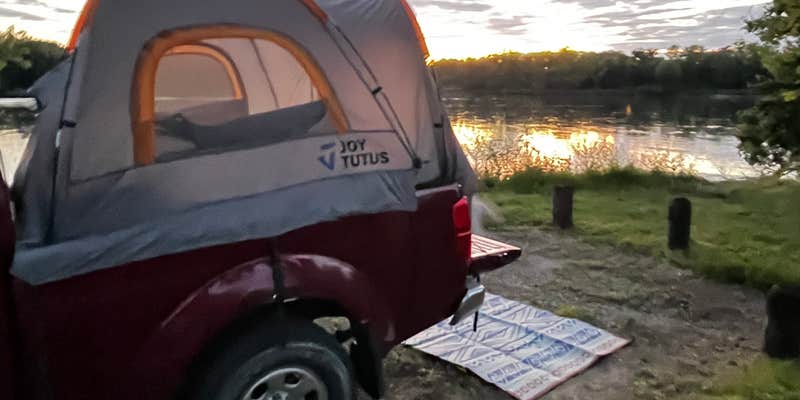
Saulsbury Bridge Rec Area - Cedar River Campground is located near the Cedar River in Iowa. The terrain consists of flatlands and riverbanks, providing a natural setting for camping. Nearby attractions include Wildcat Den State Park and the Muscatine Art Center, offering opportunities for hiking and cultural exploration.
Description
Saulsbury Bridge Recreation Area has three campgrounds each managed under a self-registration system. Campsites cannot be reserved.
Firewood is available in the main campground for a fee. No out-of-state firewood is allowed in MCCB areas.
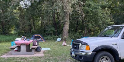
Campsites have picnic tables, fire rings, and on-site parking. Tent camping only sites (Area A Chicken Creek) do not have on-site parking. Campsites are available on a first-come, first-served basis only.
Fee Info
Camping Specials for 2022
FREE Wednesdays: Camp for FREE any Wednesday from April – October
2 for 1 Weekends: Camp in any of the Saulsbury campgrounds the first night (Friday) at the regular price and stay the next night (Saturday) for FREE on the weekends listed below.
May 6-7 & May 20-21 June 3-4 & June 17-18 July 1-2 & July 15-16 August 5-6 & August 19-20 September 2-3 & September 16-17 October 7-8 & October 21-22
RV Road Trip Guides


Map & DirectionsSaulsbury Bridge Rec Area is located in Iowa near West Liberty
Directions
From Highway 61 in Muscatine go 2.5 miles north on Mulberry Rd., then 4 miles west on Saulsbury Rd. Park Map – aerial photo with trails, boundaries, etc.
Coordinates
41.49632787384439 N
91.17357365386269 W
Connectivity
 T-MobileLTESome Coverage
- VerizonLTESome Coverage
- AT&TLTESome Coverage
Connectivity
- T-MobileLTESome Coverage
- VerizonLTESome Coverage
- AT&TLTESome Coverage
Access
- Drive-InPark next to your site
- Walk-InPark in a lot, walk to your site.
- Boat-InSites accessible by watercraft.
Site Types
- Tent Sites
- RV Sites
- Standard (Tent/RV)
Features
For Campers
- ADA Access
- Trash
- Picnic Table
- Firewood Available
- Phone Service
- Showers
- Drinking Water
- Electric Hookups
- Toilets
- Alcohol
- Pets
- Fires
For Vehicles
- Sanitary Dump
- Water Hookups
Drive Time
- 40 min from Iowa City, IA
- 43 min from Davenport, IA
- 1 hr 1 min from Cedar Rapids, IA
- 1 hr 48 min from Dubuque, IA


