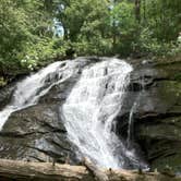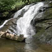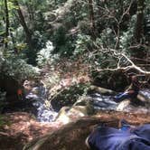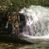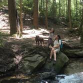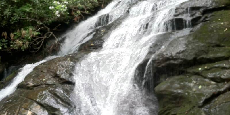
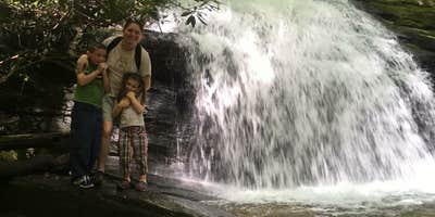
Three trout streams converge at this dispersed camping area along the Appalachian Trail, accessible via unpaved Forest Road 42 and a roughly one-mile hike. Campsites are spread along the creek with no formal amenities. Food storage matters here: bear bags or canisters for hikers, car storage for those who drive in. The site sits within the camping near Rich Mountain-Cartecay Tract Wildlife Management Area and draws early-season AT thru-hikers coming down from Springer Mountain. Side trails lead to steep drop-offs and swimming holes. Anglers should check Georgia DNR regulations before fishing, as lure and hook restrictions apply. This spot works best for self-sufficient hikers and anglers comfortable with primitive conditions.
RV Road Trip Guides


Map & DirectionsLong Creek Falls Appalachian Trail is located in Georgia near Ellijay
 Public Campground
Coordinates
34.66948485 N
84.4347874 W
Connectivity
 T-MobileLTESome Coverage
- VerizonLTESome CoverageVerified by 3 users
 AT&T5GGood Coverage
Connectivity
- T-MobileLTESome Coverage
- VerizonLTESome CoverageVerified by 3 users
- AT&T5GGood Coverage
Access
- Walk-InPark in a lot, walk to your site.
- Hike-InBackcountry sites.
Site Types
- Tent Sites
Features
For Campers
- Alcohol
- Pets
- Fires
Drive Time
- 58 min from Gainesville, GA
- 1 hr 16 min from Cleveland, TN
- 1 hr 17 min from Rome, GA
- 1 hr 21 min from Chattanooga, TN