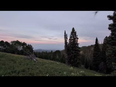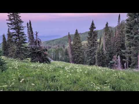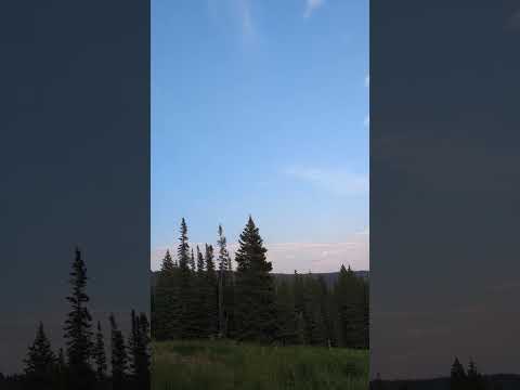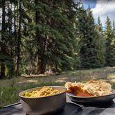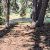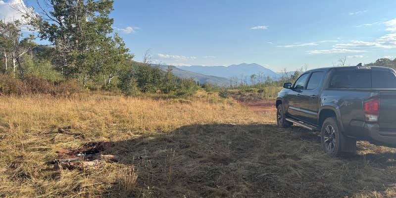
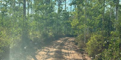
OHV and 4WD use drives most visits to Red Table Road, a dispersed camping area in White River National Forest accessed via Forest Road 514 off the Red Table OHV Staging Area near Gypsum. The first two miles of road are narrow with no turnabouts, hemmed in by dense Manzanita and steep drop-offs, so high-clearance or off-road vehicles are necessary. No water, utilities, or posted sites exist. Campsites are informal pull-outs with crude fire rings. T-Mobile registered one to two bars at spots with open clearing. Bring all water and supplies, and expect no services on the road itself.
RV Road Trip Guides


Map & DirectionsRed Table Road, White River National Forest is located in Colorado near Gypsum
Coordinates
39.56594200000001 N
107.03592400000002 W
Access
- Drive-InPark next to your site
- Walk-InPark in a lot, walk to your site.
Features
For Campers
- Pets
DISPERSED CAMPING
Enjoy dispersed camping on government land and leave no trace. Pack in and pack out. No (or limited) services at this camping area. Permit may be required.