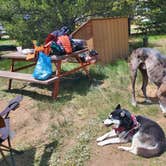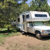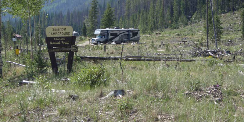
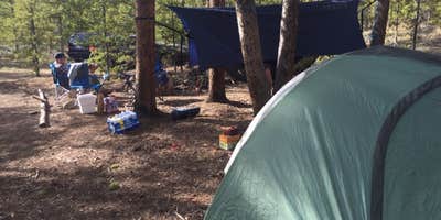
Arapaho National Forest's Williams Fork valley holds Sugarloaf Campground, a small Forest Service site outside Parshall that sits along the Williams Fork of the Colorado River. The campground has 11 sites, each with a picnic table and fire ring, and a horseshoe pit sits in the center of the loop. A dead-end road keeps through traffic out. RVs up to 23 feet can fit, and reviewers note that at least one 30-foot rig has made it work, though the Forest Service limit is worth confirming before arrival.
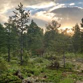
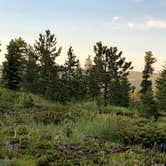
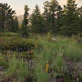
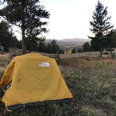
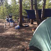
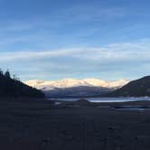
Pine beetle infestation cleared much of the original timber, so shade and site separation are limited. The trees are growing back, but campers should expect an open layout rather than a forested canopy. On the upside, the open terrain gives clear sightlines toward the surrounding mountains and valley. The on-site water well has not been functional for some time; water is available at South Fork Rustic Campground, roughly half a mile northwest, so plan to carry your own or stop there first.
Fishing on the Williams Fork runs fair to good for brook trout, with the occasional brown trout. Upstream from Sugarloaf, pressure is lighter. Several trails depart from the immediate area, including the Darling Creek, South Fork, Kinney Creek, and Ute Peak routes. David B. recommends purchasing a trail guide, noting "once you're tired of fishing, there are numerous hiking trails to be explored." The campground operates on a first-come, first-served basis from June through October, so arriving by early afternoon on summer weekends is advisable.
Description
Sugarloaf camping is a first-come, first-served campground is located in the Williams Fork Valley next to the Williams Fork River. There are 11 non-electric sites that will accommodate tents, trailers and RVs. Each site contains a tent pad, fire grate and picnic table. Additional facilities provided include restrooms and trash service. Drinking water is available at South Fork Campground ½ mile away. Due to the recent mountain pine beetle epidemic, campsites have no shade. Popular activities include hiking in the Arapaho National Forest and nearby Byers Peak Wilderness area, scenic driving and wildlife viewing.
RV Road Trip Guides


Map & DirectionsSugarloaf Campground is located in Colorado near Silverthorne
 Public Campground
Directions
In the Williams Fork Valley, 25 miles south of Parshall (US Highway 40), off County Road 3, on Forest Road 138.
Coordinates
39.79016349 N
106.02418036 W
Connectivity
 T-MobileNo Coverage
- VerizonNo Coverage
- AT&TNo Coverage
Connectivity
- T-MobileNo Coverage
- VerizonNo Coverage
- AT&TNo Coverage
Access
- Drive-InPark next to your site
- Walk-InPark in a lot, walk to your site.
- Hike-InBackcountry sites.
Site Types
- Tent Sites
- RV Sites
- Standard (Tent/RV)
- Equestrian
Features
For Campers
- Trash
- Picnic Table
- Toilets
- Alcohol
- Pets
- Fires
For Vehicles
- Pull-Through Sites
Drive Time
- 1 hr 56 min from Denver, CO
- 2 hrs 6 min from Boulder, CO
- 2 hrs 38 min from Greeley, CO
- 2 hrs 42 min from Fort Collins, CO