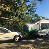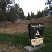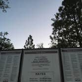
Reservations are available at Lupine/Cedar Bluff Campground, a drive-in and boat-in facility near Wishon, California, with sites running $0–$35 per night and a 40-foot RV limit. The campground operates year-round and includes drinking water, flush toilets, showers, a dump station, and picnic tables. Check-in requires a stop at the camp office, located roughly ten minutes from the entrance, and hosts circulate to collect fees and issue parking tags. Bear activity has been reported on-site, so food storage protocols matter here.
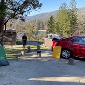
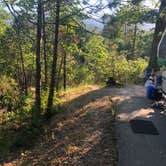
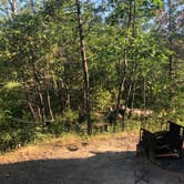
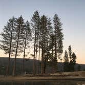
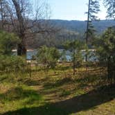
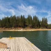
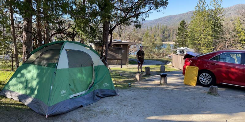
The campground is split into two named sections: Cedar Bluff on the right side of the entrance road holds multi-person sites, while Lupine on the left runs single sites. Sites are spaced close enough to share a loop but far enough apart that neighboring conversations don't carry. Several sites have good shade cover, and lake-view sites draw repeat visitors. David Y. notes "bathrooms with flush toilets, and cold running water," and reviewers consistently describe the bathrooms as cleaned daily, though weekend crowds can leave them rougher by Sunday. Verizon users have logged 2–3 bars of LTE with occasional 5G.
Miller's Landing Resort Inc. sits less than a mile southeast and provides hot food and resupply options for multi-night stays. Road closures for local events have caught at least one group of campers off guard, so checking for scheduled activities before arrival is worth the effort. Campers wanting a different setup can look at Spring Cove Campground as a nearby alternative.
RV Road Trip Guides

Map & DirectionsLupine/Cedar Bluff Campground is located in California near Wishon
 Public Campground
Directions
In Oakhurst, CA, at intersection of Victoria La (State Rt. 41) and Road 426, take Road 426 south and go 6.3 miles to Bass Lake sign. Turn left after sign, staying on Road 426, and go 0.9 miles to an intersection and stop sign. Turn left onto Road 222 and go 1.2 miles to the Campground Registration Office on the left. (All campers ,including those with reservations, must FIRST go to Registration Office to pay fee and obtain site selection.) After processing at Registration Office, exit back onto Road 222 (back the way you came) and go 2.9 miles to campground sign. Turn right at sign into campground.
Coordinates
37.30800084 N
119.54400067 W
Connectivity
 T-MobileNo CoverageVerified by 4 usersLast on 9/16/26
 Verizon5GExcellent CoverageVerified by 4 usersLast on 9/16/26
 AT&T5GGood CoverageVerified by 8 usersLast on 9/16/26
Connectivity
- T-MobileNo CoverageVerified by 4 usersLast on 9/16/26
- Verizon5GExcellent CoverageVerified by 4 usersLast on 9/16/26
- AT&T5GGood CoverageVerified by 8 usersLast on 9/16/26
Access
- Drive-InPark next to your site
- Boat-InSites accessible by watercraft.
Site Types
- Tent Sites
- RV Sites
- Standard (Tent/RV)
- Tent Cabin
Features
For Campers
- ADA Access
- Trash
- Picnic Table
- Firewood Available
- Phone Service
- Reservable
- WiFi
- Showers
- Drinking Water
- Toilets
- Alcohol
- Pets
- Fires
For Vehicles
- Sanitary Dump
- Water Hookups
- Big Rig Friendly
Drive Time
- 51 min from Fresno, CA
- 1 hr 21 min from Merced, CA
- 1 hr 27 min from Visalia, CA
- 1 hr 29 min from Hanford, CA