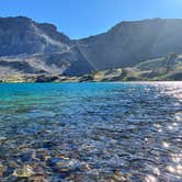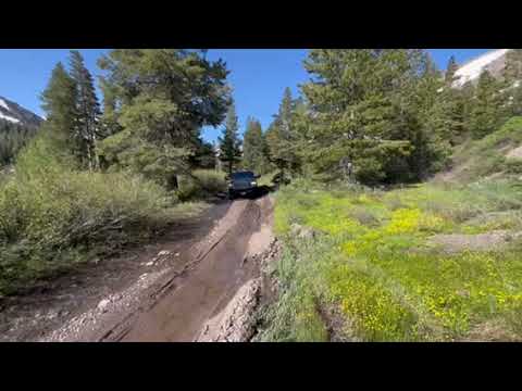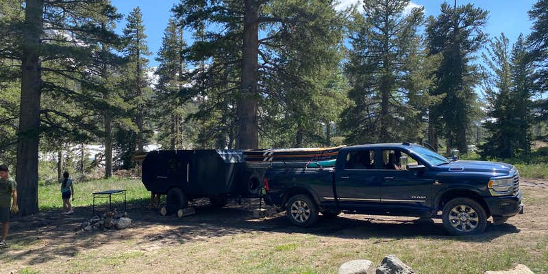
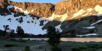
Getting to Leavitt Lake requires genuine preparation. The access road has technical sections that demand high clearance, and snow can wash out the route well into summer, as one reviewer found the road impassable about half a mile in as late as July. Four-wheel drive is strongly recommended. The lake sits within Toiyabe National Forest at no cost, with campfires, pets, and alcohol all permitted. Exposure to YouTube coverage has drawn crowds, with multiple groups arriving simultaneously reported by visitors. Campers who can't drive in can still hike the remaining distance. This free dispersed site works best for self-sufficient campers with capable vehicles who don't mind company on busy weekends. Those exploring the broader corridor can find campgrounds around Toiyabe National Forest spread across the region, including FR 32216A Dispersed — Toiyabe NF near Sonora Pass a few miles north.
RV Road Trip Guides

Map & DirectionsLeavitt Lake is located in California near Bridgeport
 Dispersed Camping
Coordinates
38.27550458 N
119.61694797 W
Connectivity
 T-MobileNo Coverage
- VerizonNo Coverage
- AT&TNo Coverage
Connectivity
- T-MobileNo Coverage
- VerizonNo Coverage
- AT&TNo Coverage
Access
- Drive-InPark next to your site
- Walk-InPark in a lot, walk to your site.
- Hike-InBackcountry sites.
Site Types
- Dispersed
Features
For Campers
- Alcohol
- Pets
- Fires
DISPERSED CAMPING
Enjoy dispersed camping on government land and leave no trace. Pack in and pack out. No (or limited) services at this camping area. Permit may be required.
PERMIT might be REQUIRED
We curate permit requirements across the US for our PRO members. Try PRO to see if Leavitt Lake needs a permit.
Drive Time
- 2 hrs 33 min from Carson City, NV
- 3 hrs from Reno, NV
- 5 hrs 5 min from Modesto, CA
- 5 hrs 39 min from Merced, CA