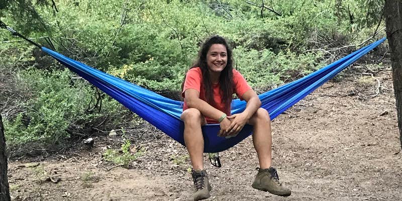
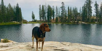
Fresno Dome Campground is located in the Sierra National Forest near Oakhurst, featuring a terrain of forested areas and granite formations. Temperatures range from lows in the 30s Fahrenheit during winter to highs in the 80s during summer. Nearby attractions include the Fresno Dome itself and Bass Lake, offering opportunities for hiking and water activities.
Description
Located on Boggy Meadow adjacent to Big Creek, Fresno Dome Campground is conveniently located near the Fresno Dome trail which provides wonderful views of the San Joaquin Valley and surrounding mountains. Fir and Pine trees provides shaded sites and all sites have grills, tables and fire rings. Access to campground is paved and dirt. There is a campground host on site. Please deposit trash at entrance to campground.
RV Road Trip Guides
Location
Public CampgroundFresno Dome Campground is located in California
Directions
From Oakhurst, CA, take State Rt. 41 north 2.2 miles to Road 632. Turn right at sign onto Road 632 and go 1 mile to a "Y" intersection. Bear left, staying on Road 632, and go 7.4 miles to another "Y" intersection. Bear left and go 3.1 miles to a "T" intersection. Turn left onto dirt road and go 1.5 miles to a "Y" intersection. Bear right and go 0.3 to still another "Y" intersection. Bear left into campground.
Coordinates
37.45600065 N
119.54800028 W
Connectivity
- T-MobileNo Coverage
- VerizonLTESome Coverage
- AT&TNo Coverage
Connectivity
- T-MobileNo Coverage
- VerizonLTESome Coverage
- AT&TNo Coverage
Access
- Drive-InPark next to your site
Site Types
- Tent Sites
- Tent Cabin
Features
For Campers
- Trash
- Picnic Table
- Firewood Available
- Phone Service
- Showers
- Toilets
- Pets
- Fires
Drive Time
- 1 hr 24 min from Fresno, CA
- 1 hr 50 min from Merced, CA
- 2 hrs 1 min from Visalia, CA
- 2 hrs 3 min from Hanford, CA


