Public Campground
Rock Crossing Campground
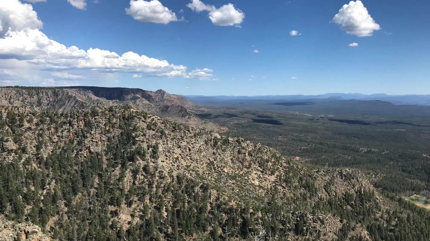
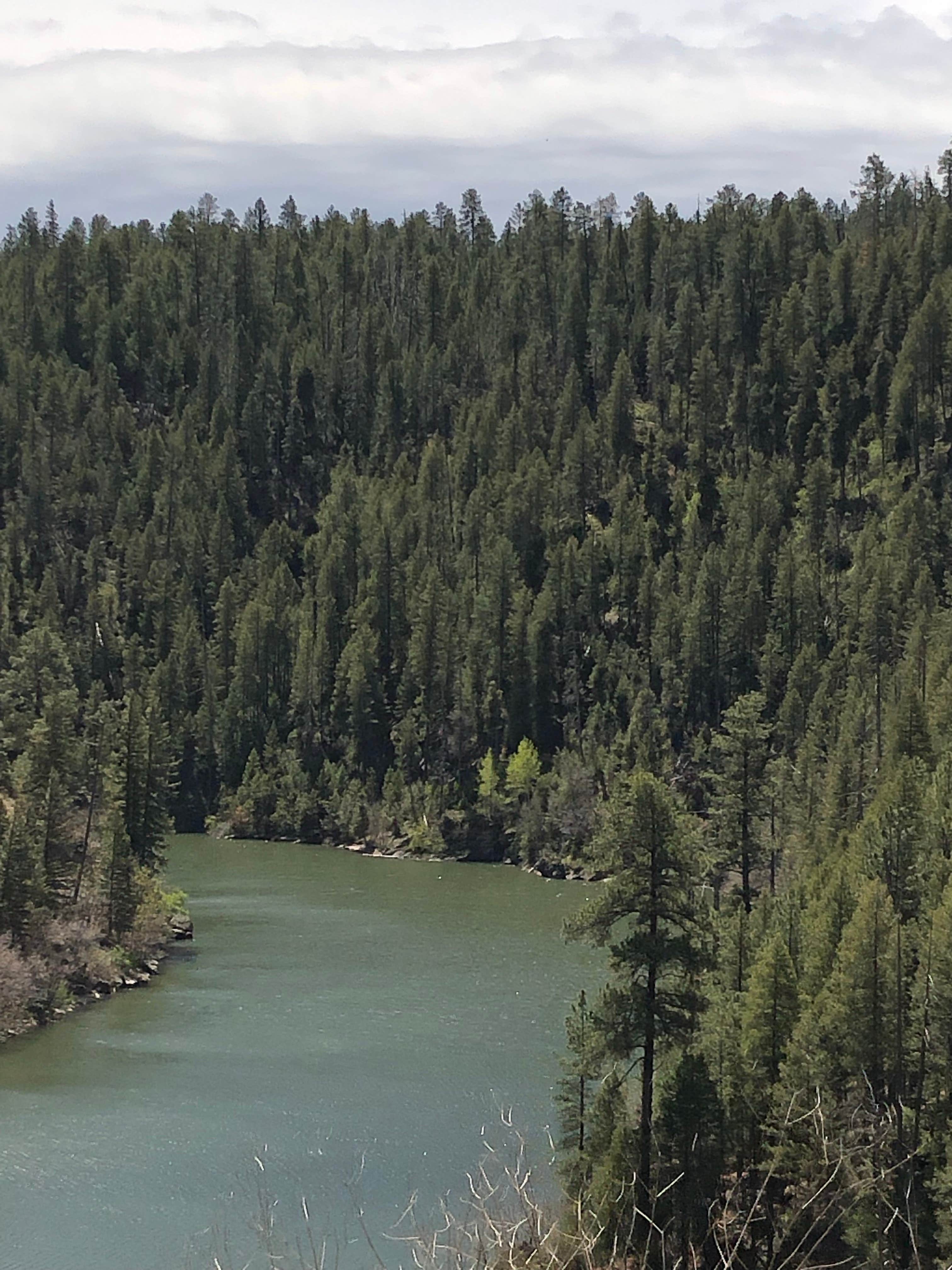
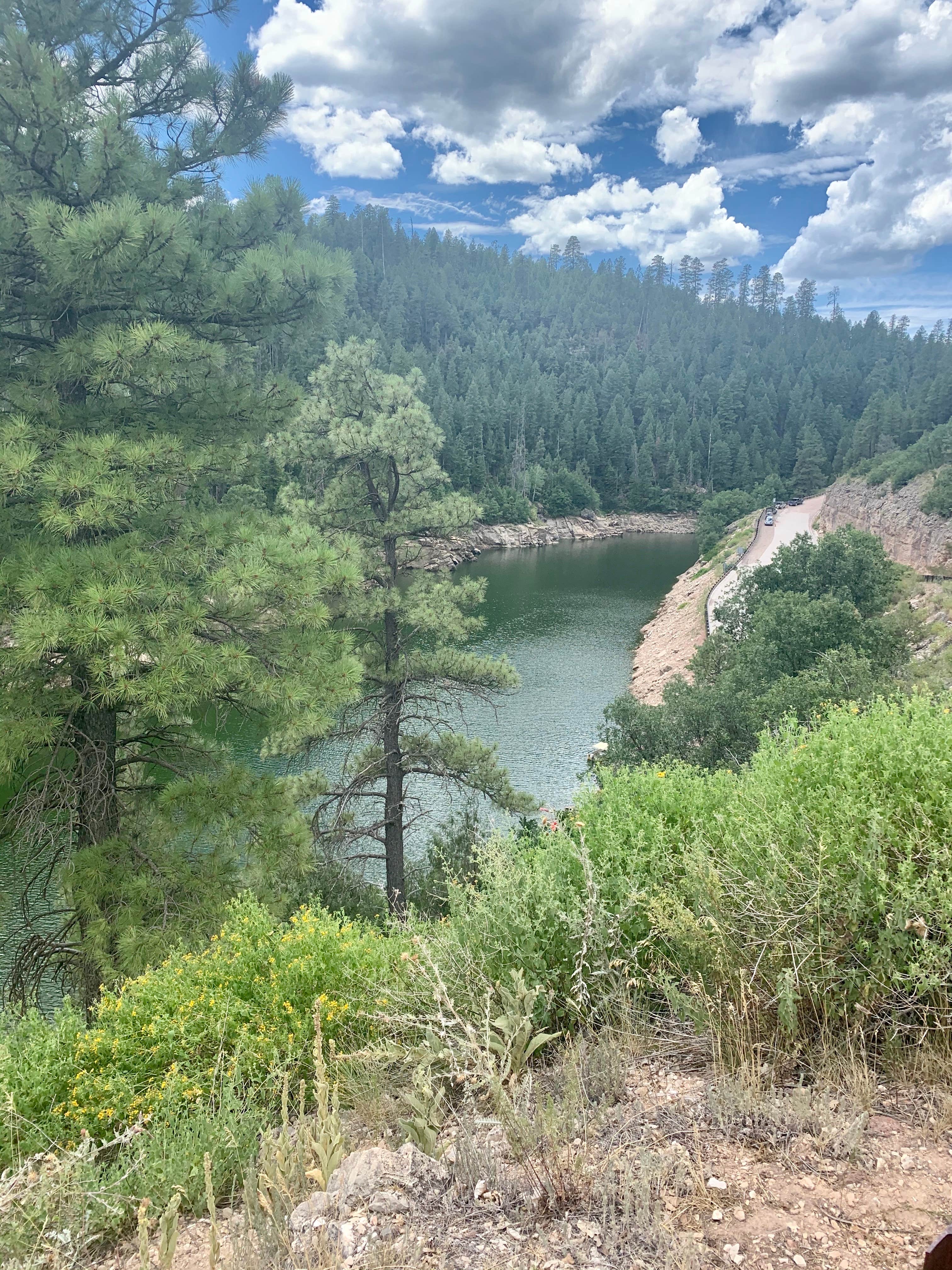
Rock Crossing Campground is located near Happy Jack in the Coconino National Forest Recreation area. The terrain consists of forested areas with a mix of pine trees and open spaces. Temperatures range from 30°F in winter to 85°F in summer, and nearby attractions include the scenic Mogollon Rim and Blue Ridge Reservoir.
Description
Overview
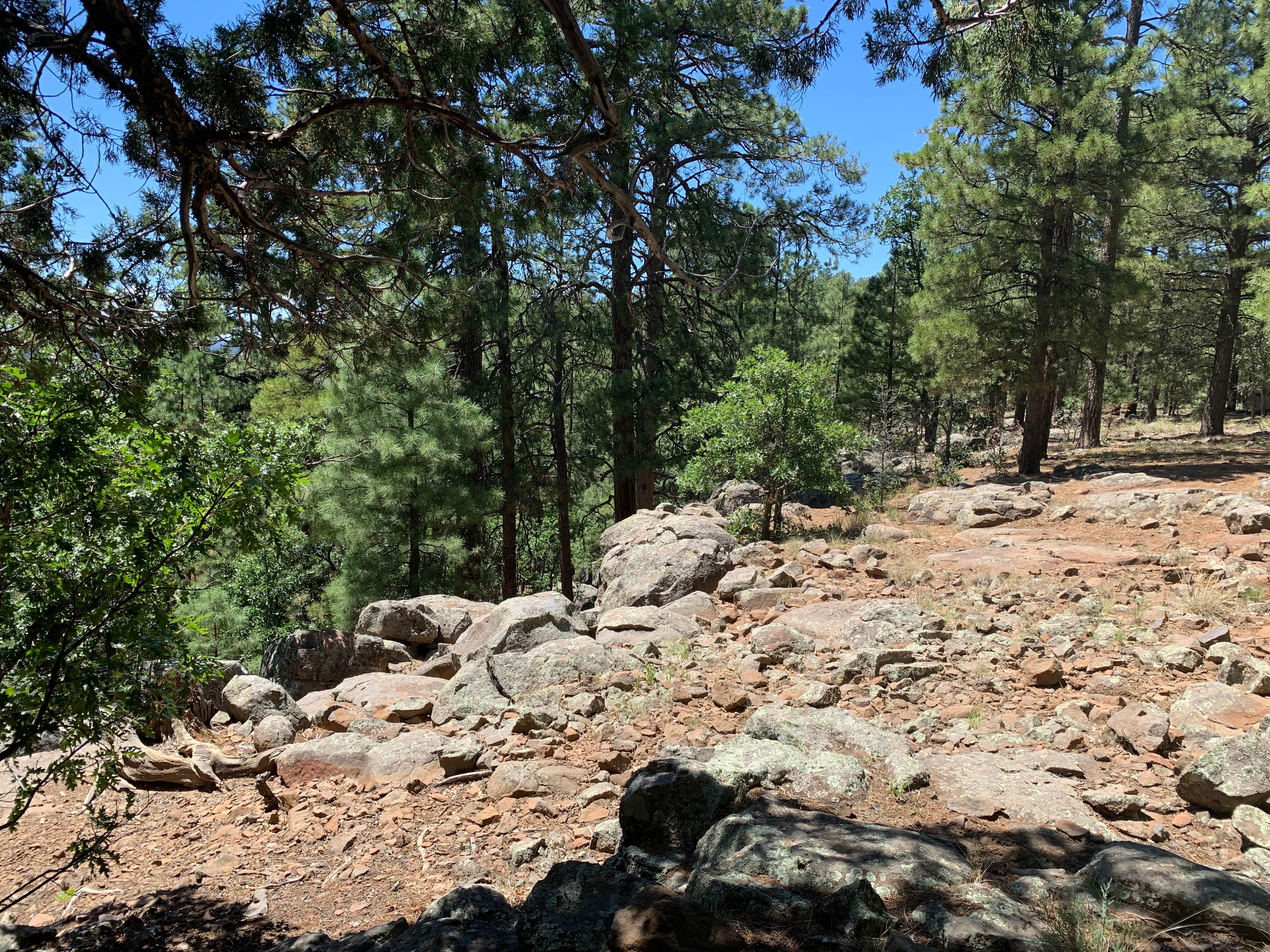
The Rock Crossing Campground sits in a beautiful setting surrounded by ponderosa pine and oak at an elevation of 7,316'. The cool summer climate and countless recreational opportunities makes this a popular location. Wildlife is abundant in the area and includes elk, mule deer, black bear, bald eagles, and osprey.
Recreation
Many visitors spend time relaxing and exploring the area. The nearby C.C. Cragin Reservoir and Knoll Lake offer opportunities for water based recreation, while the Arizona National Scenic Trail, General Crook National Recreation Trail, and the historic Cabin Loop Trail System, offer opportunities for hikers, bicyclist, and equestrian users. There are also several Fire Lookout Towers in the area.
Facilities
The campground is comprised of 31 individual family sites and two double sites. Each family site can accommodate up to eight people while double sites can accommodate up to 16 people. The facility provides picnic tables, campfire rings, cooking grills, tent pads, bear food storage lockers, drinking water, vault toilets, trash collection, and campground hosts. There are no utility hookups or showers. Campsites vary in size and can accommodate a wide range of equipment with a maximum RV or trailer length of 32'. For groups larger than 10 people and up to 50 people, the nearby Moqui Group Campground can be reserved.
Natural Features
Coconino National Forest offers 1.8 million acres of recreational opportunity from desert basins to mountain peaks. The campground sits in a forested setting. The nearby Mogollon Rim is one of the most striking geologic features in the state. This steep escarpment, measured in thousands of feet, stretches from New Mexico diagonally across two thirds of Arizona and offers sweeping views of the landscape.
Nearby Attractions
Tonto Natural Bridge State park is approximately 45 minutes away and offers what may be the world's largest travertine bridge. The community of Happy Jack, Arizona has a gas station, two convenience stores and two restaurants.
Fee Info
Standard nonelectric 1-8 people $20.00 Standard nonelectric 9-16 people $40.00
Location
Rock Crossing Campground is located in Arizona
Directions
From Flagstaff, Arizona, drive 55 miles south on FH 3 (Lake Mary Road) to AZ 87 at Clints Well. Turn left onto AZ 87. Drive approximately 4.6 miles to FR 751 (turnoff for the Blue Ridge / C.C. Cragin Reservoir). Turn right on FR 751 and drive approximately 2.5 miles to the campground. From Payson, Arizona, drive approximately 42.5 miles north on AZ 87 toward Winslow to FR 751(turnoff for the Blue Ridge / C.C. Cragin Reservoir). Turn right on FR 751 and drive approximately 2.5 miles to the campground. GPS Coordinates 34\_\_33'51.6\"N 111\_\_13'07.5\"W
Coordinates
34.564333 N
111.21875 W
Connectivity
- T-MobileNo Coverage
- VerizonLTESome Coverage
- AT&TNo Coverage
Connectivity
- T-MobileNo Coverage
- VerizonLTESome Coverage
- AT&TNo Coverage
Access
- Drive-InPark next to your site
Site Types
- Tent Sites
- RV Sites
- Standard (Tent/RV)
- Group
- Cabins
Features
For Campers
- Trash
- Reservable
- Drinking Water
- Toilets
- Alcohol
- Pets
- Fires
For Vehicles
- Water Hookups
Drive Time
- 1 hr 10 min from Flagstaff, AZ
- 1 hr 24 min from Prescott Valley, AZ
- 1 hr 58 min from Phoenix, AZ
- 3 hrs 39 min from Tucson, AZ


