Private Campground
Chief Ladiga Trail Campground
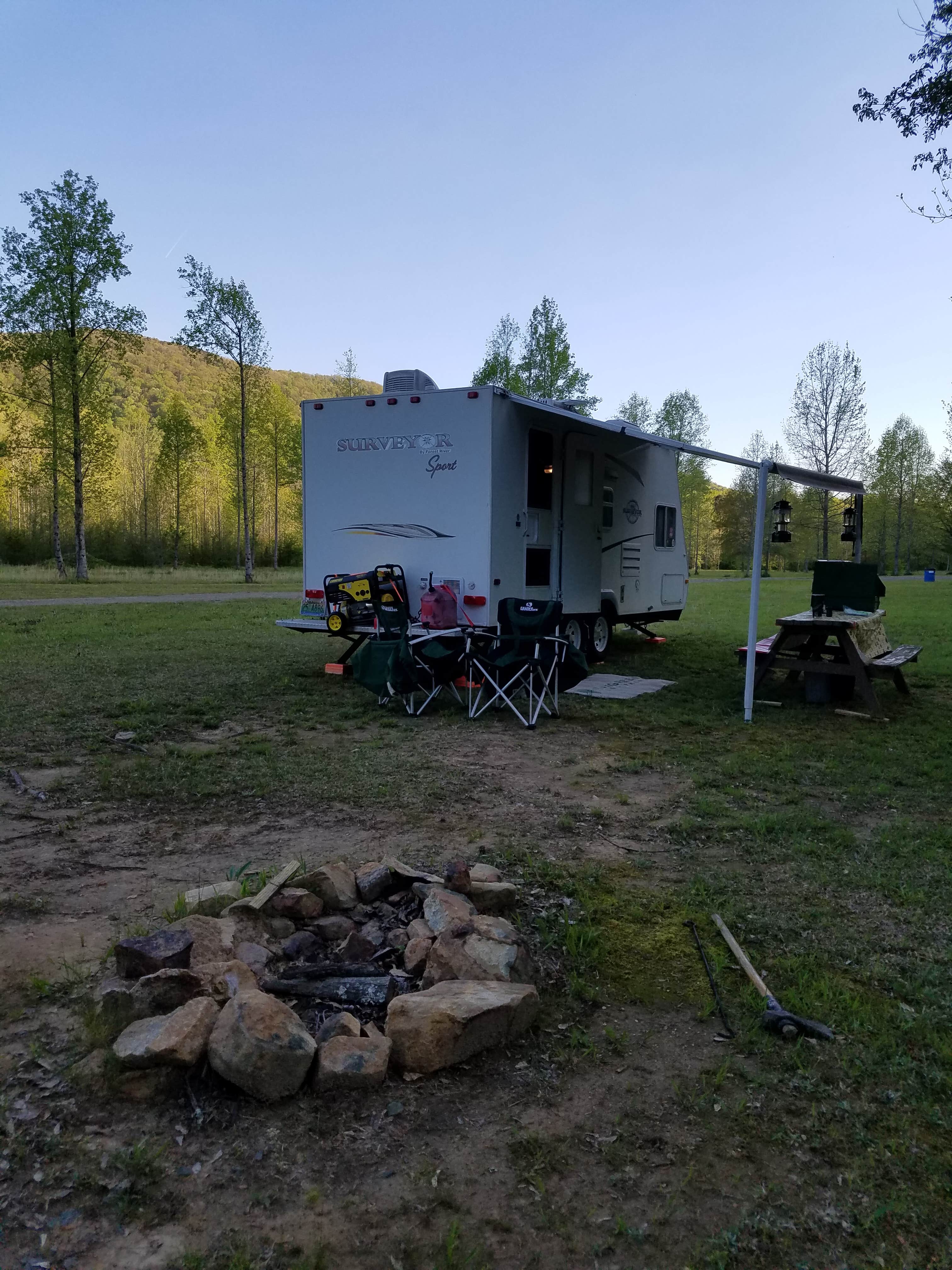
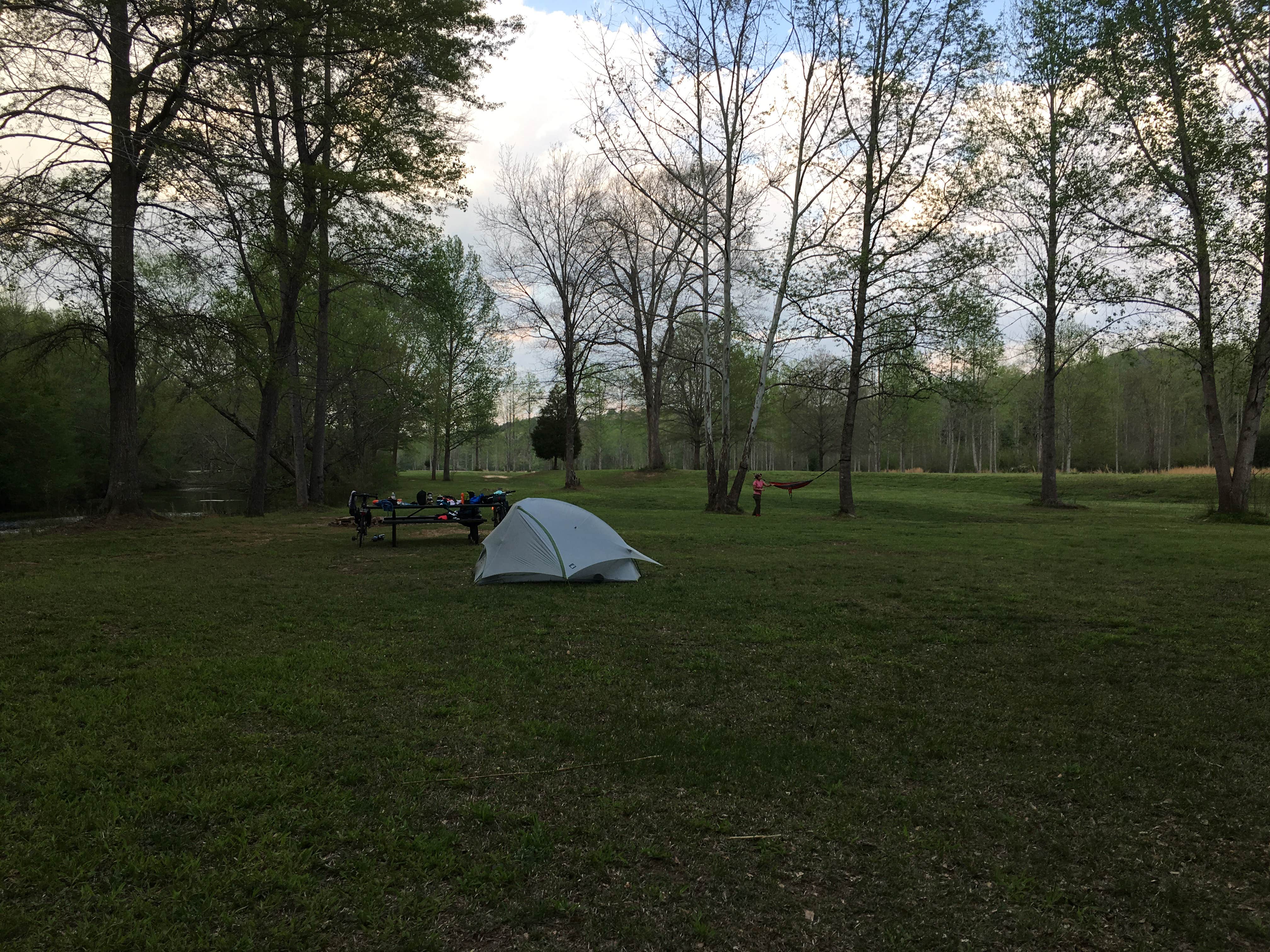
Chief Ladiga Trail Campground, near Borden Springs, Alabama, is a fantastic spot for those looking to escape the hustle and bustle of everyday life. This campground offers a peaceful setting with spacious sites, perfect for pitching a tent or parking your RV, all while being surrounded by nature.
Visitors rave about the clean facilities, including a bathhouse with hot showers, which is a nice perk after a day of biking or hiking. The campground is right next to the Chief Ladiga Trail, making it a prime location for cyclists and hikers alike. As one camper noted, “The campground is in the middle of the Talladega National Forest,” providing a serene backdrop for your outdoor adventures.
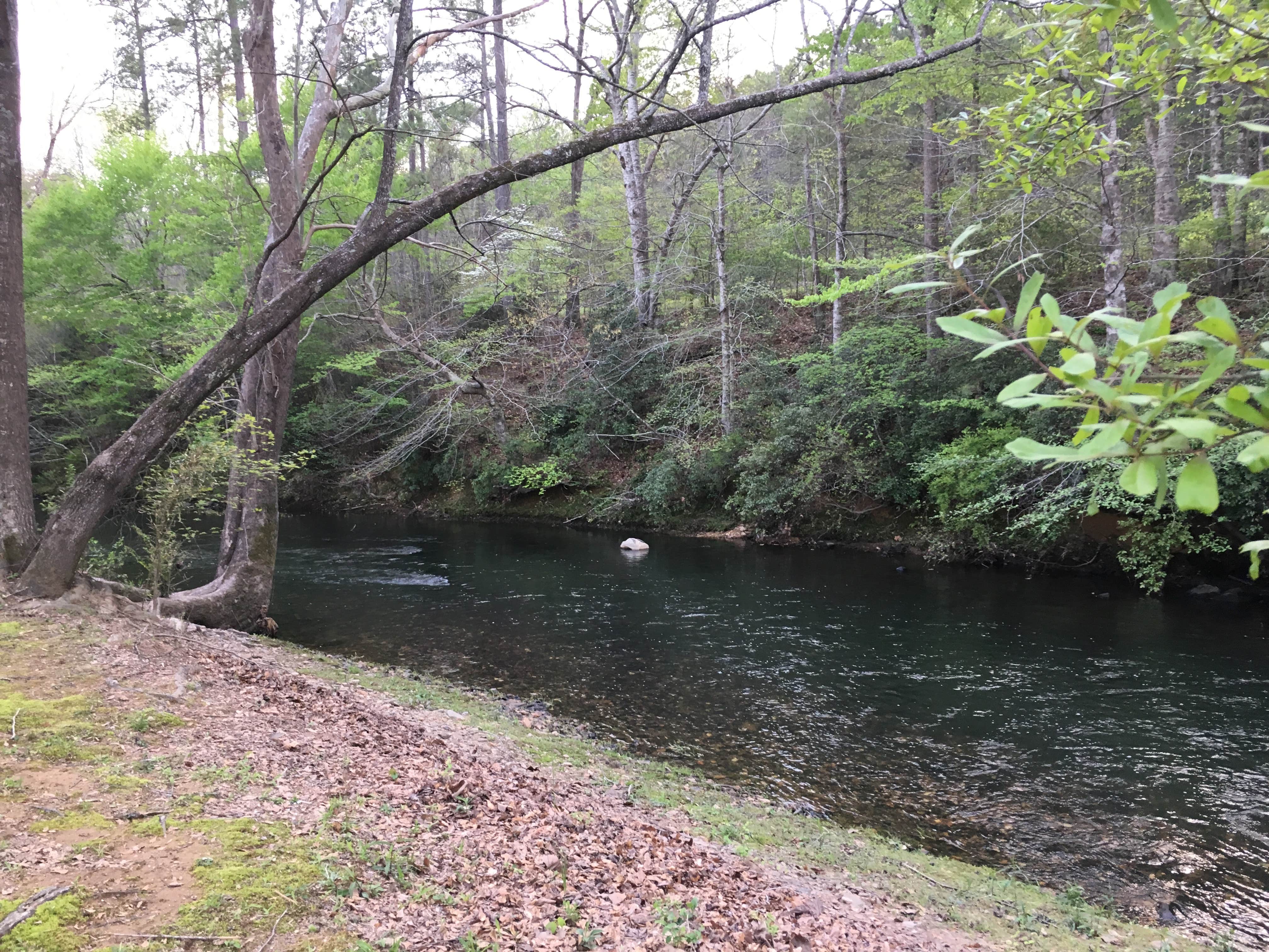
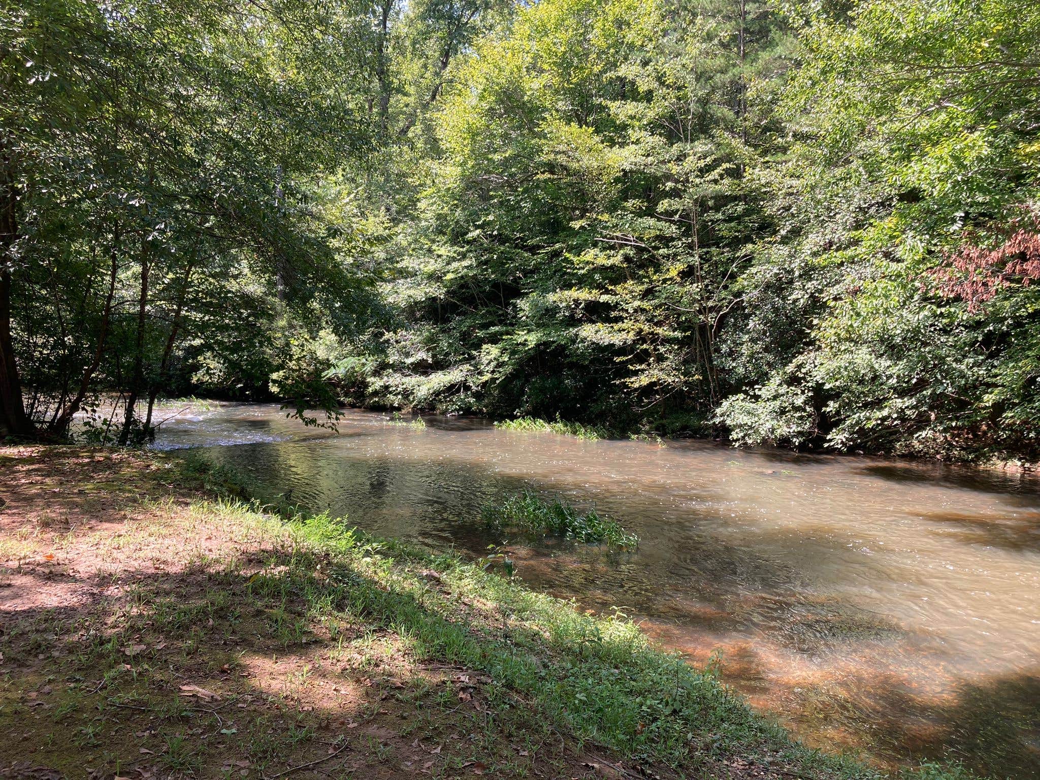
The area is known for its beautiful stream that runs through the campground, adding to the tranquil atmosphere. Campers appreciate the open spaces and the opportunity for stargazing at night, with one reviewer mentioning how dark it gets, making it perfect for catching a glimpse of the night sky.
While there are no electric hookups or fire pits, the campground's charm lies in its simplicity and natural beauty. Whether you're biking the trail or just soaking in the peaceful surroundings, Chief Ladiga Trail Campground is a great choice for a relaxing getaway.
Description
Situated on 62 wooded acres in rural Cleburne County, Alabama between Piedmont, Alabama and Cedartown, Georgia with direct access to the Chief Ladiga Trail and the Pinhoti Trail and beautiful Terrapin Creek running through the property.
Activities currently available are hiking, biking, climbing, swimming, and fishing.
The Pinhoti Trail is a National Recreation Trail for hiking only. There are 150 miles of the trail in Alabama and 150 miles in Georgia and it connects to the southern terminus of the Appalachian Trail in north Georgia. 140 of the Alabama miles are in the Talladega National Forest which borders the camp property.
The Chief Ladiga Trail is a paved converted railbed with 34 miles in Alabama (Anniston to the Georgia line). The trail allows use by hikers, bicyclists and skateboarders. It connects to the Silver Comet Trail in Georgia and continues over 60 miles to the outskirts of Atlanta. The most beautiful portion of this trail is in Cleburne County and it is the most recently completed portion of the trail as well.
The Talladega National Forest borders the property on three sides. The Talladega National Forest consists of 392,567 acres of protected public wilderness in North and Central Alabama. You can view more information about the Talladega National Forest at en.wikipedia.org/wiki/Talladega_National_Forest
Location
Chief Ladiga Trail Campground is located in Alabama
Directions
From Birmingham, Alabama Take I-59N toward Atlanta to Gadsden, Alabama (approx. 56 miles) Take exit 182 onto I-759E into Gadsden (approx. 5 miles) Turn left onto George Wallace Drive Turn right onto E. Meighan Blvd./US 278E (approx. 1 mile) Turn left onto US 278E toward Piedmont (approx. 2 miles) In Piedmont go through the first traffic light to a four-way stop (approx. 22 miles from Gadsden) Go straight through the four-way stop onto Nances Creek Industrial Boulevard to the next stop sign Turn left onto Vigo Road/County Road 70 Go approximately 6 miles and turn right onto County Road 94 The campground entrance will be on the left just past the Chief Ladiga Lodge (big cedar house) From Atlanta, Georgia Take I-20W to exit 44 (GA-6) Merge onto GA-6W toward Austell, GA and go approx 44 miles Turn left to take the US 27/US 278/GA-6W ramp From ramp turn right onto US 27/US 278/GA-6 toward Cedartown, GA In Cedartown turn left onto Piedmont Hwy./US 278W toward Piedmont Turn left onto Esom Hill Rd. (near mm3) Turn right on Shiloh Rd./County Road 49 and go approx. 3 miles crossing into Alabama Turn right onto County Road 70 just past Borden Springs Fire Department Go approx. 3 miles and turn left onto County Road 94 The campground entrance will be on the left just past the Chief Ladiga Lodge (big cedar house)
Address
3180 County Road 94
Borden Springs, AL 36272
Coordinates
33.91920832 N
85.49579597 W
Connectivity
- T-MobileNo Coverage
- VerizonLTESome Coverage
- AT&TNo CoverageVerified by 5 usersLast on 1/17/26
Connectivity
- T-MobileNo Coverage
- VerizonLTESome Coverage
- AT&TNo CoverageVerified by 5 usersLast on 1/17/26
Access
- Drive-InPark next to your site
- Walk-InPark in a lot, walk to your site.
- Boat-InSites accessible by watercraft.
Site Types
- Tent Sites
- RV Sites
- Standard (Tent/RV)
- Group
- Tent Cabin
Features
For Campers
- Trash
- Phone Service
- Showers
- Drinking Water
- Alcohol
For Vehicles
- Big Rig Friendly
Drive Time
- 39 min from Anniston, AL
- 40 min from Gadsden, AL
- 45 min from Rome, GA
- 1 hr 15 min from Atlanta, GA


